
Years ago, I summited Mt. San Jacinto in one day via the Marian Mountain Trail, and let me tell you, that thing kicked my @$$.
Since then, I’ve been meaning to return to try something a little less strenuous – riding the Palm Springs Aerial Tramway to explore the hiking trails East of the peak.
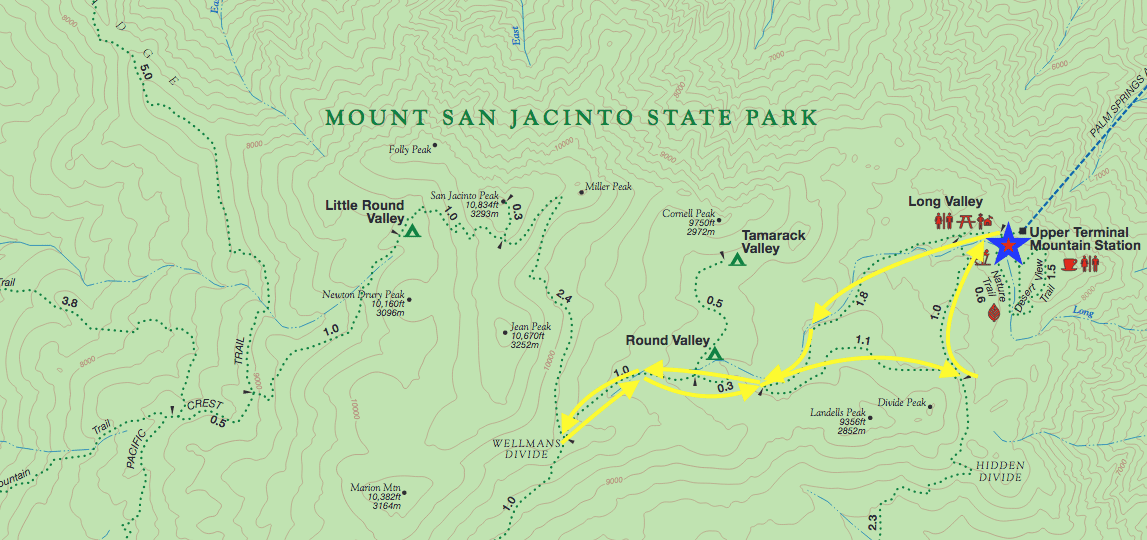
As luck would have it, I found a trail that would allow me do both, the Round Valley Trail Loop To The Wellman Divide.
Hiking The Round Valley Trail Loop To The Wellman Divide, Mt. San Jacinto State Park (Palm Springs, CA)
Editor’s Note: This article is part of my ongoing series on the state of California and its sister-series on Palm Springs
About The Round Valley Trail Loop
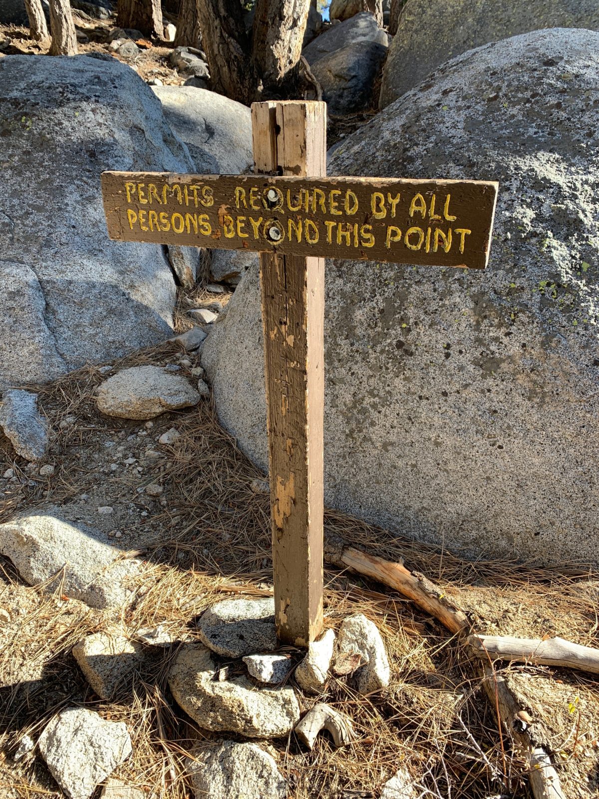
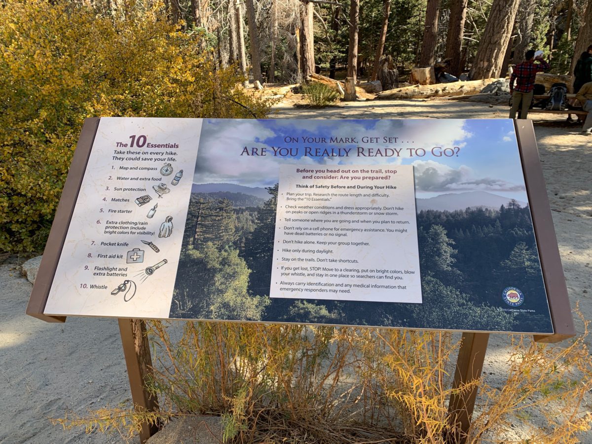
FHOP Tip: This trail requires a free day-use permit which is obtainable at the Long Valley Ranger Station.
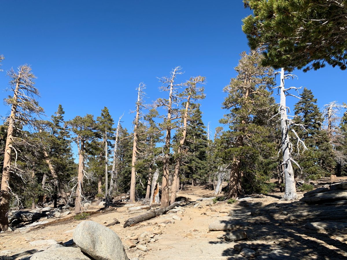
This wonderful 6.6 mile-ish hike treks through an alpine forest at the top of San Jacinto to a viewpoint known as the Wellman Divide.
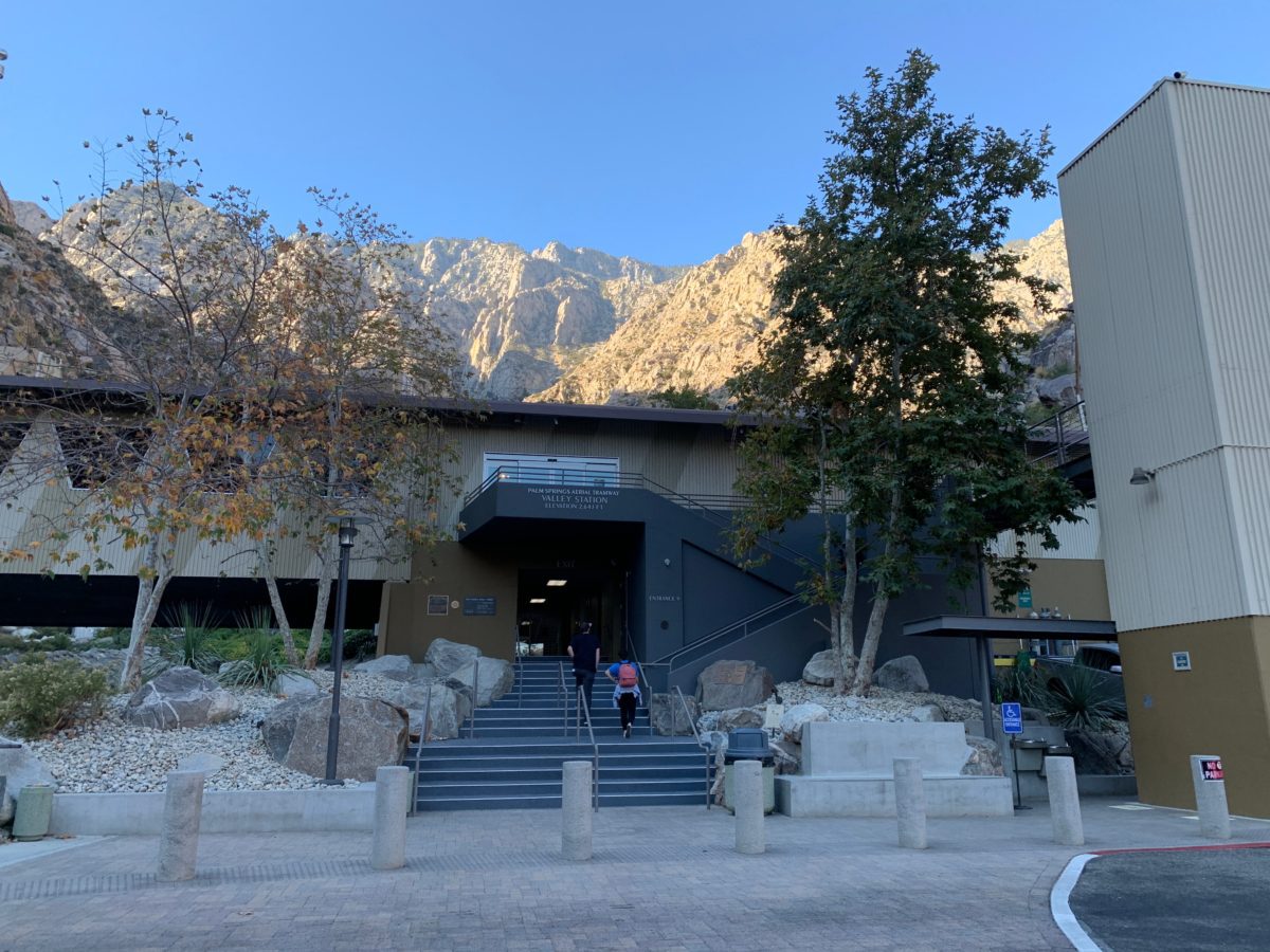
Getting there requires riding the Palm Springs Aerial Tramway to the trailhead, which is located on the backside of the Upper Terminal Mountain Station.
Mt. San Jacinto State Park’s website lists this trail as a “very-strenuous hike,” but I believe “moderate” is a more accurate description (as that’s how it is listed on alltrails.com).
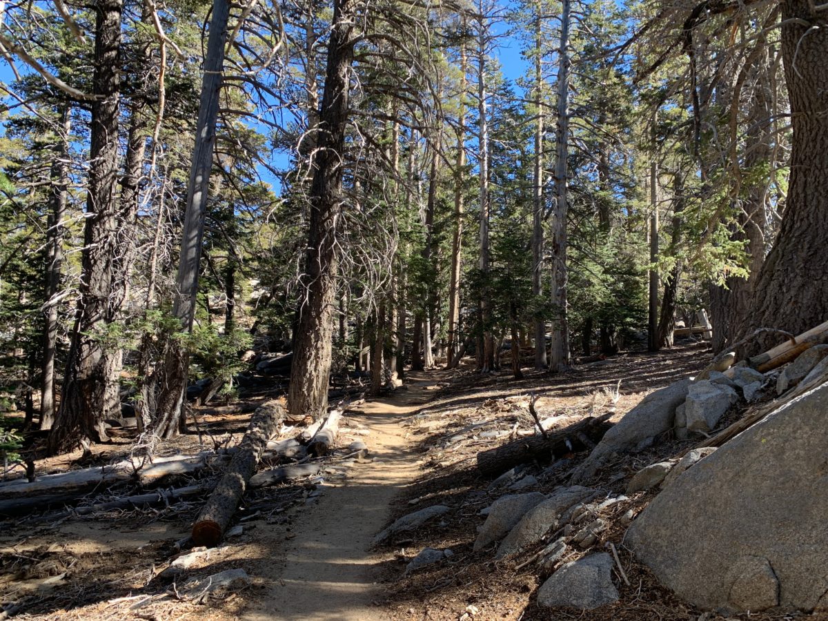
I found this trail to be well-marked, easy to follow, and highly trafficked (yes, it’s popular). The trail is not overly challenging until the final stretch from Round Valley up to the Wellman Divide.
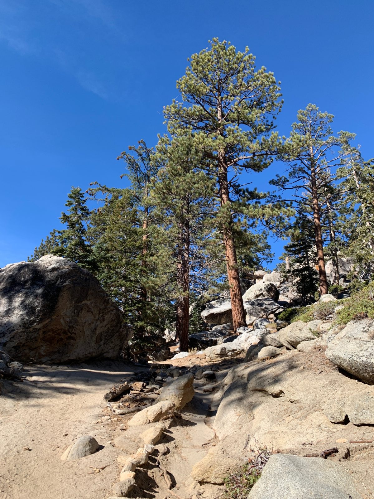
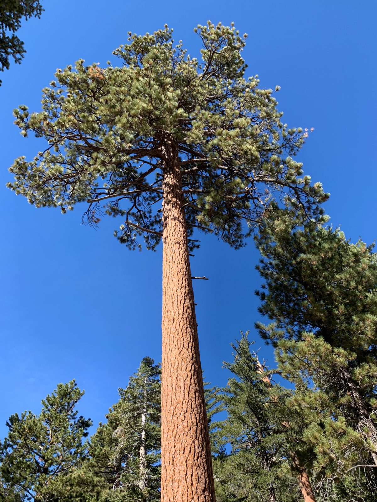
Although heavily-shaded and suitable for people of all ages, it’s a high-altitude trail so be sure to bring enough water and the right clothing for fast moving weather and fast changing temperature.
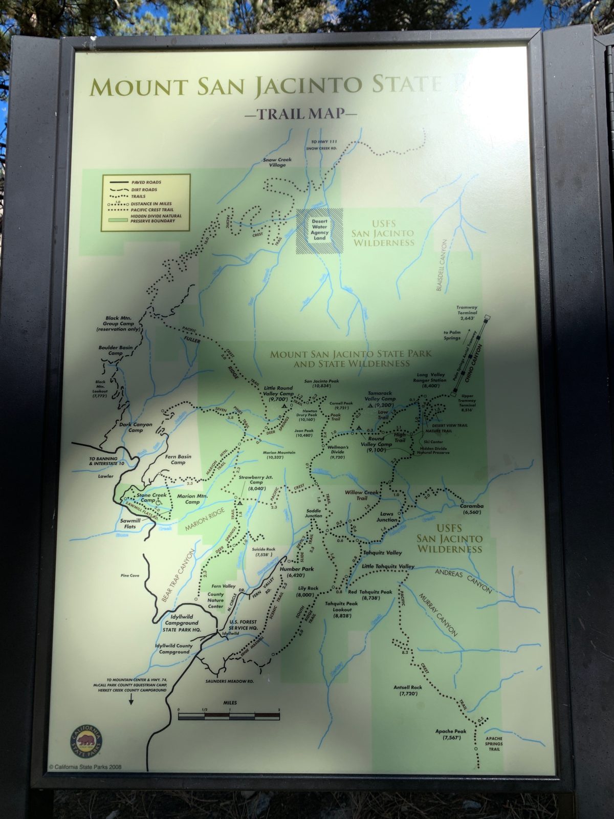
The Round Valley Trail Loop Map
I completed this hike in a clockwise manner, taking the Round Valley Trail to the Wellman Divide, and returning via the High Trail and Willow Creek Trails.
Getting To The Trailhead (Via The Palm Springs Aerial Tramway)
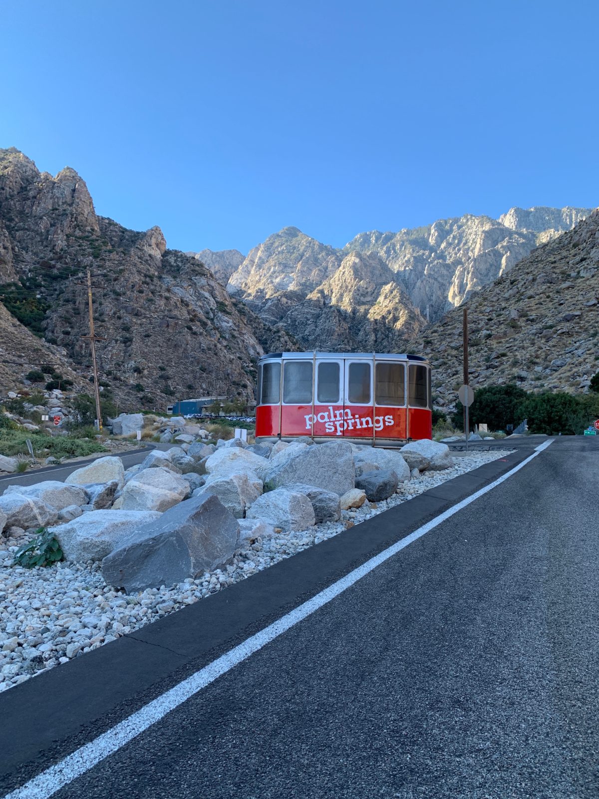
As I mentioned before, getting there requires riding the Palm Springs Aerial Tramway to the trailhead.
You can purchase tickets in advance, or you can “chance it” and do what I did by getting there early (just after opening) and hoping they have some tickets left.
FHOP Tip: I arrived about 45 minutes after opening on [what would be] a very busy Saturday, but I found the place to be still “empty” at that time. I was even able to get a prime parking spot at the top of Parking Lot A. Luckily, the ticket lines were still empty, so I bought tickets without having to wait in line. If you do decide to “chance it,” I wouldn’t recommend you get there any later than 1 hour after opening.
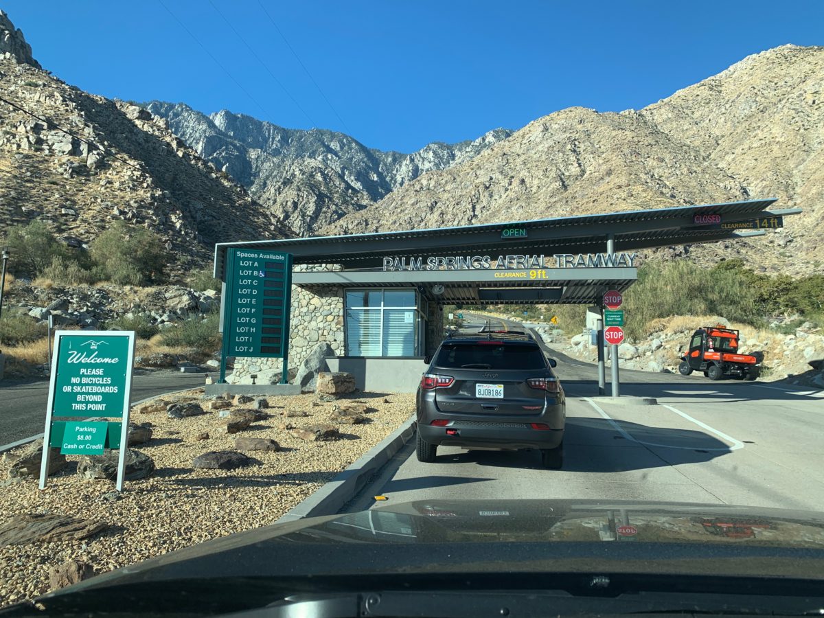
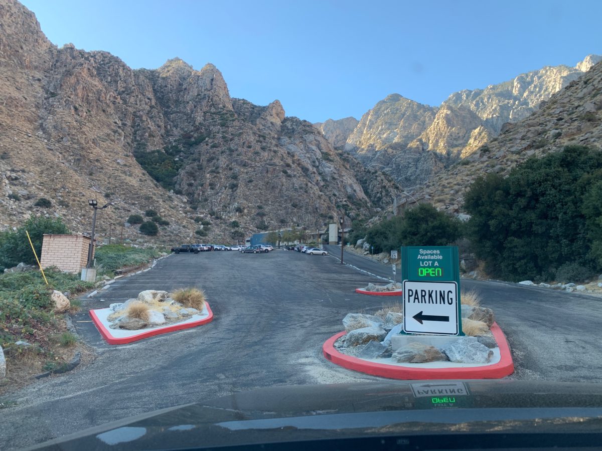
There is plenty of parking – if you get there early
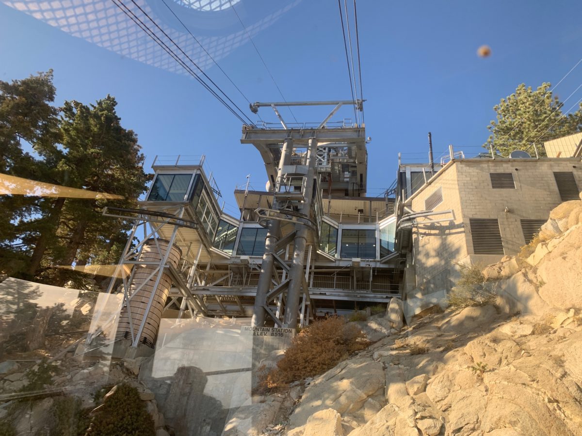
Almost to the top! The Upper Terminal Mountain Station
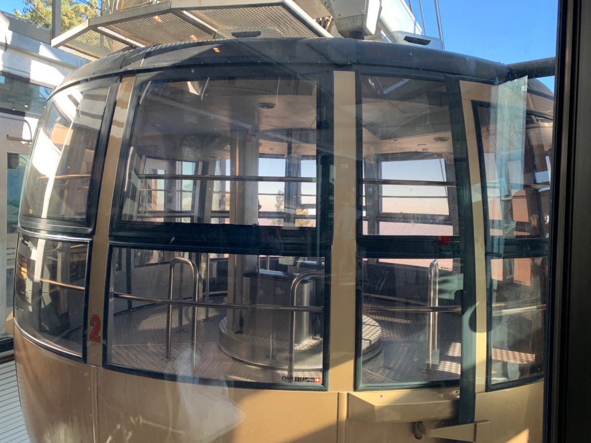
The “trusty chariot”
The Upper Terminal Mountain Station
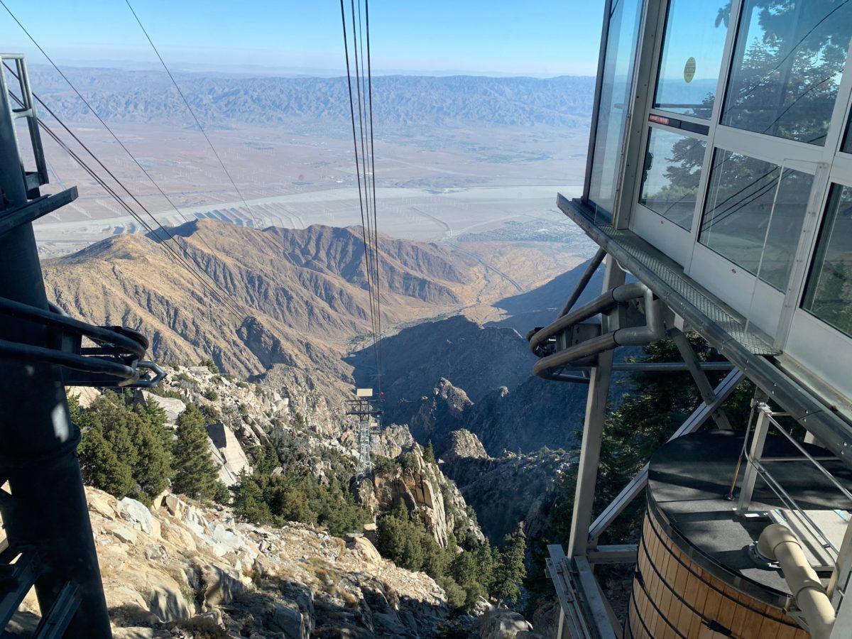
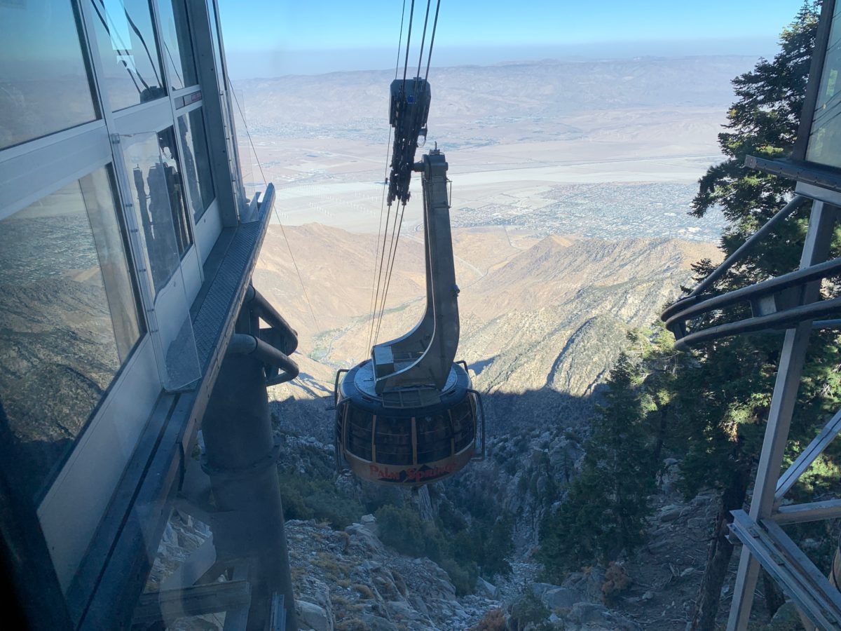
In my opinion, the scariest part of this entire hike was the rotating tramway car you take to the top of San Jacinto.
It was impressive, I’ll give it that. I definitely came away with a new found appreciation for just how high and steep San Jacinto really is.
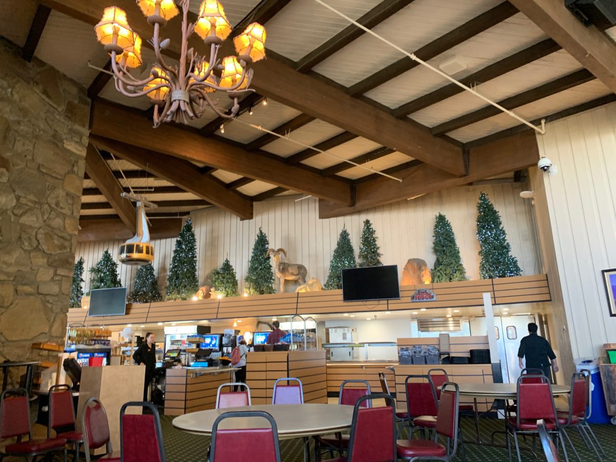
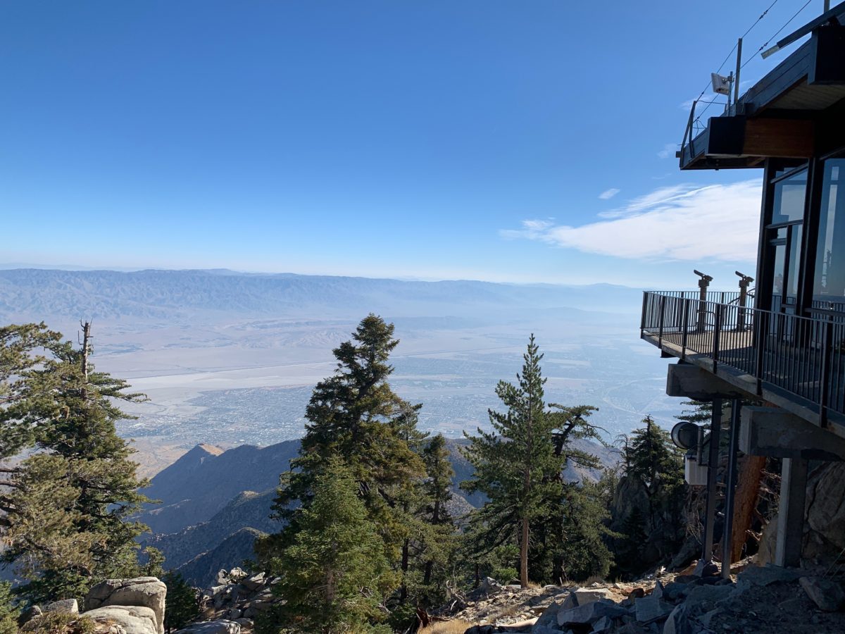
The Upper Terminal Mountain Station was a large structure that housed a restaurant, a bar, bathrooms, and Visitor Center and Museum.
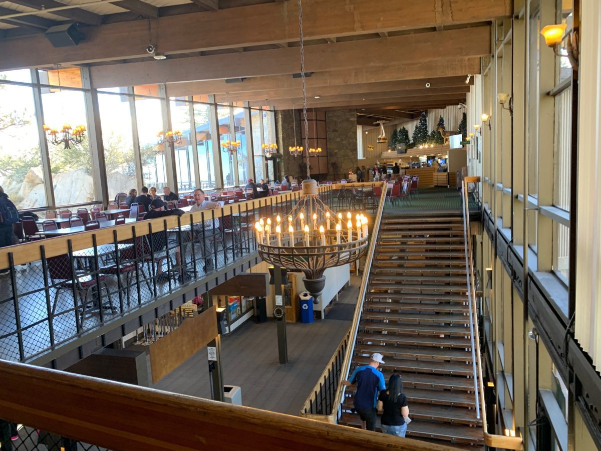
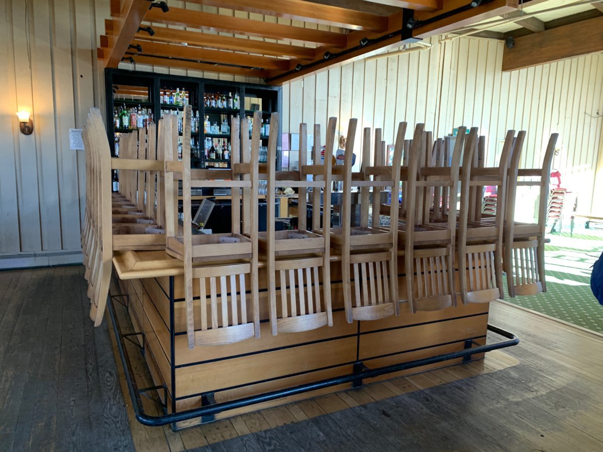
Too early for the bar 🙁
You are here
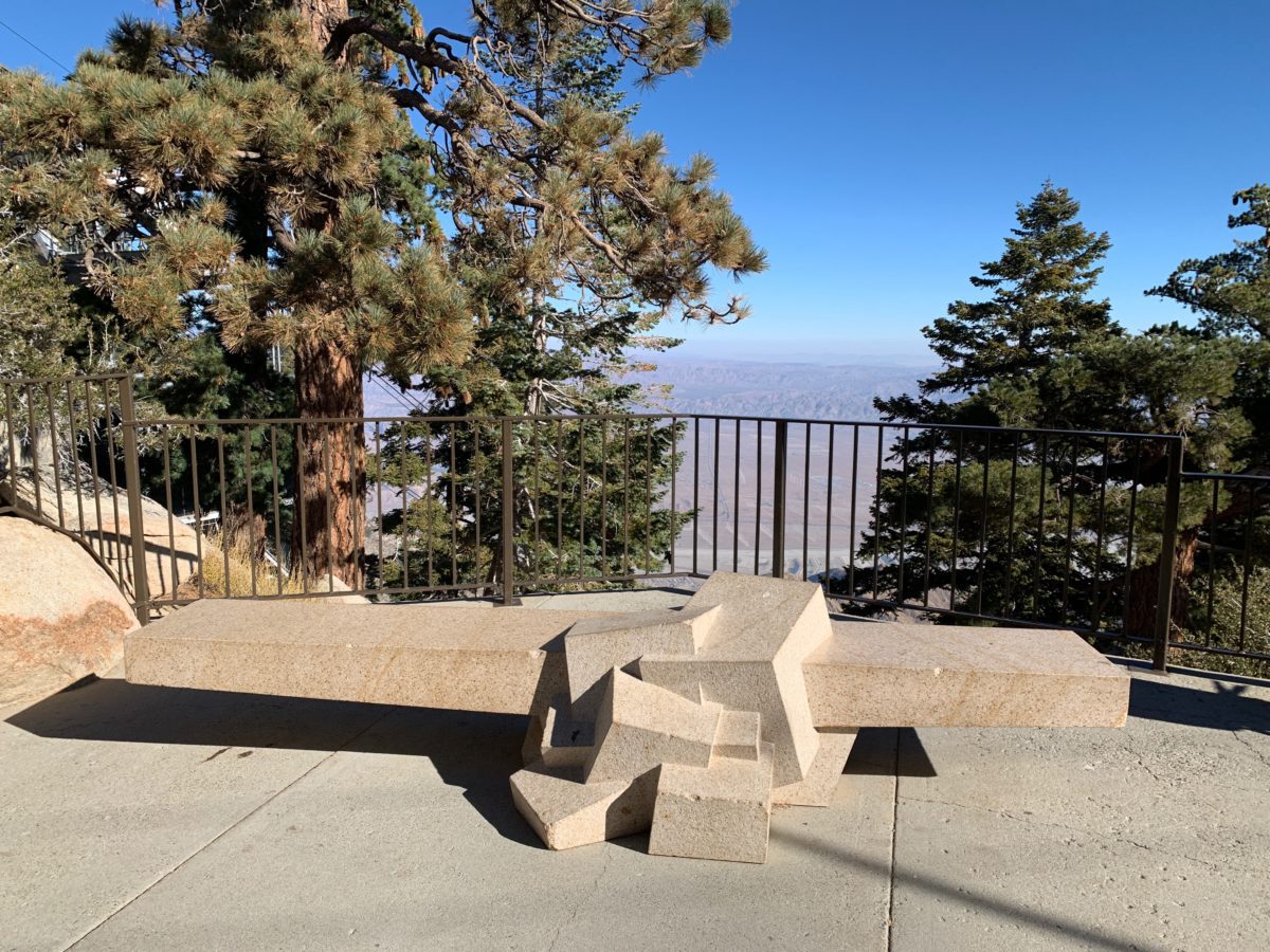
The Northward Facing Outdoor Deck
The station also had a great Northward facing outdoor deck that looked out over the Coachella Valley and Joshua Tree National Park.
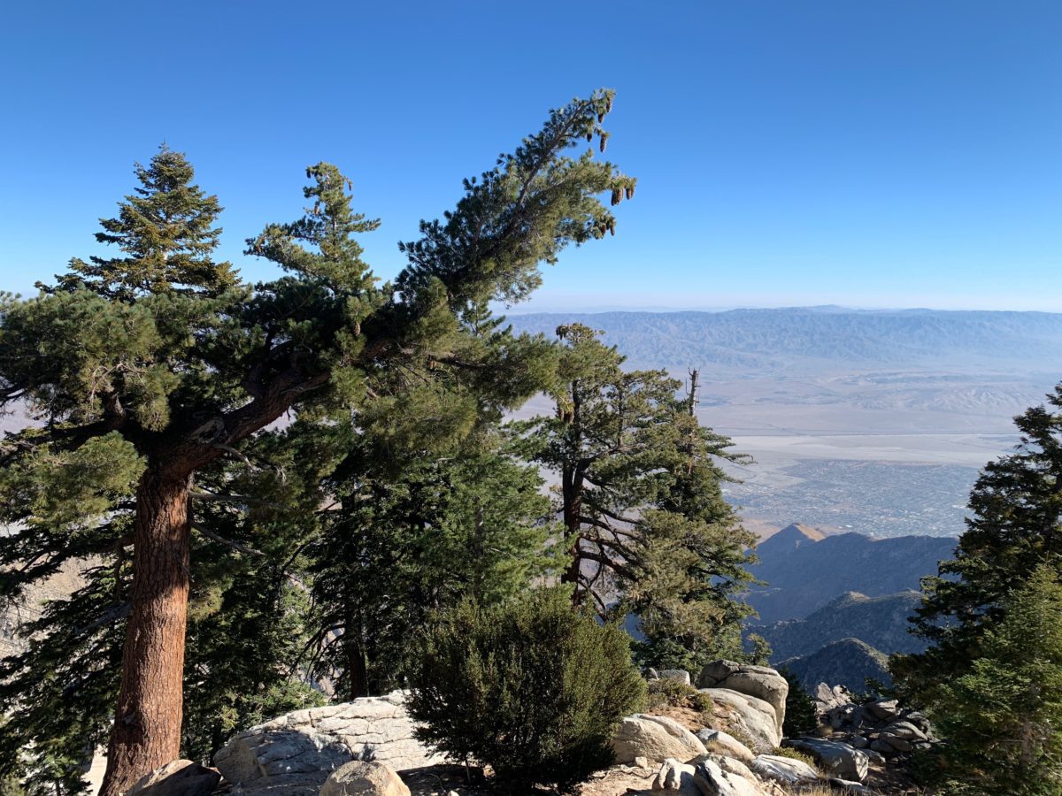
Limber pine trees
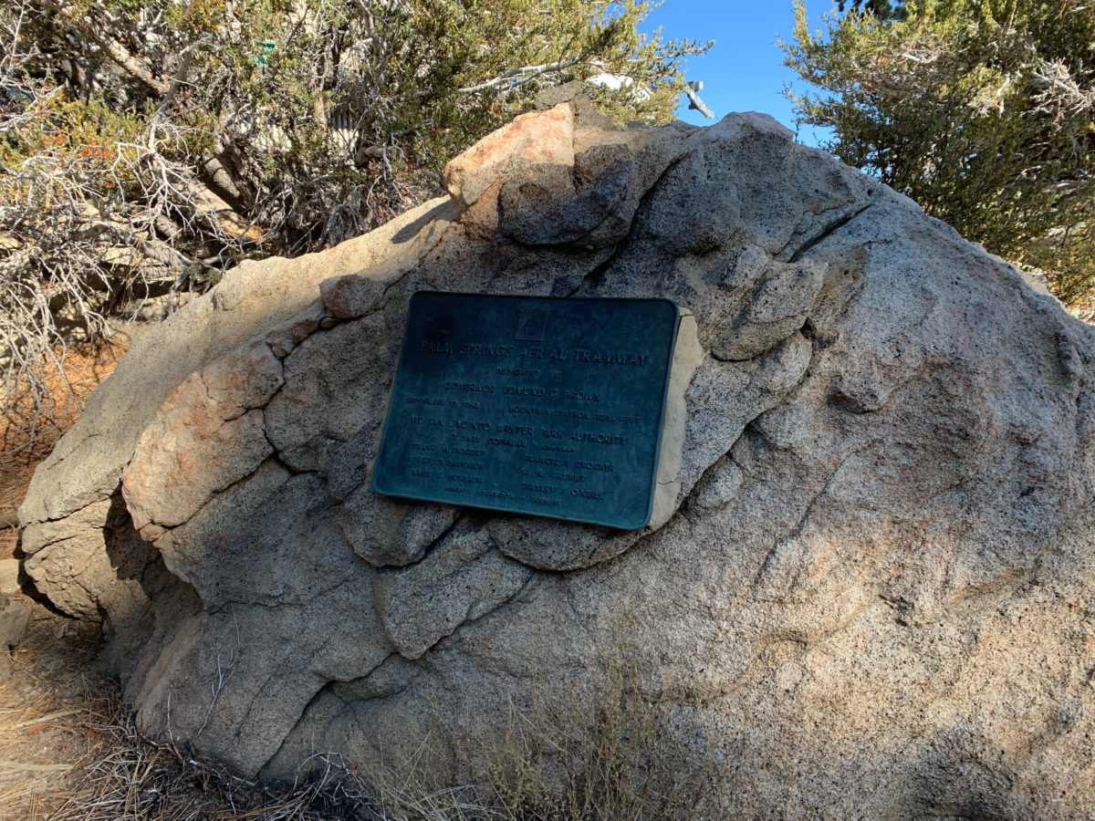
Rock monument to the Palm Springs Aerial Tramway
Section 1: The Upper Terminal Mountain Station Trailhead To The Long Valley Ranger Station
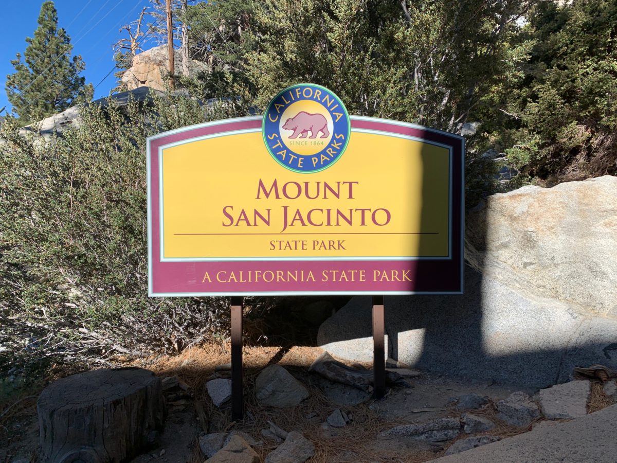
The unofficial trailhead starts at the Mount San Jacinto sign (below), located on the Southside of the Tramway Terminal.
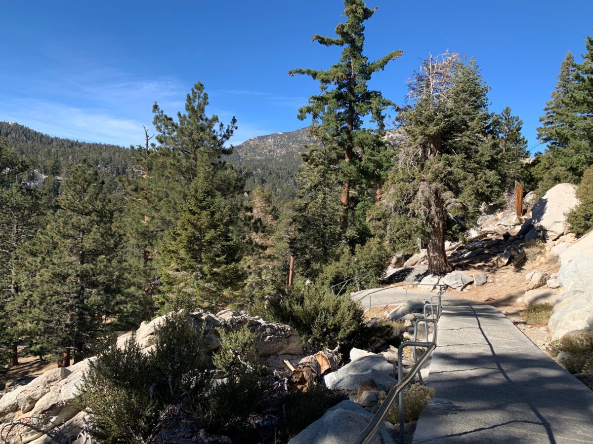
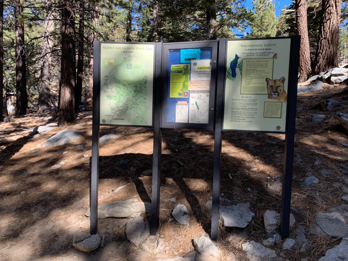
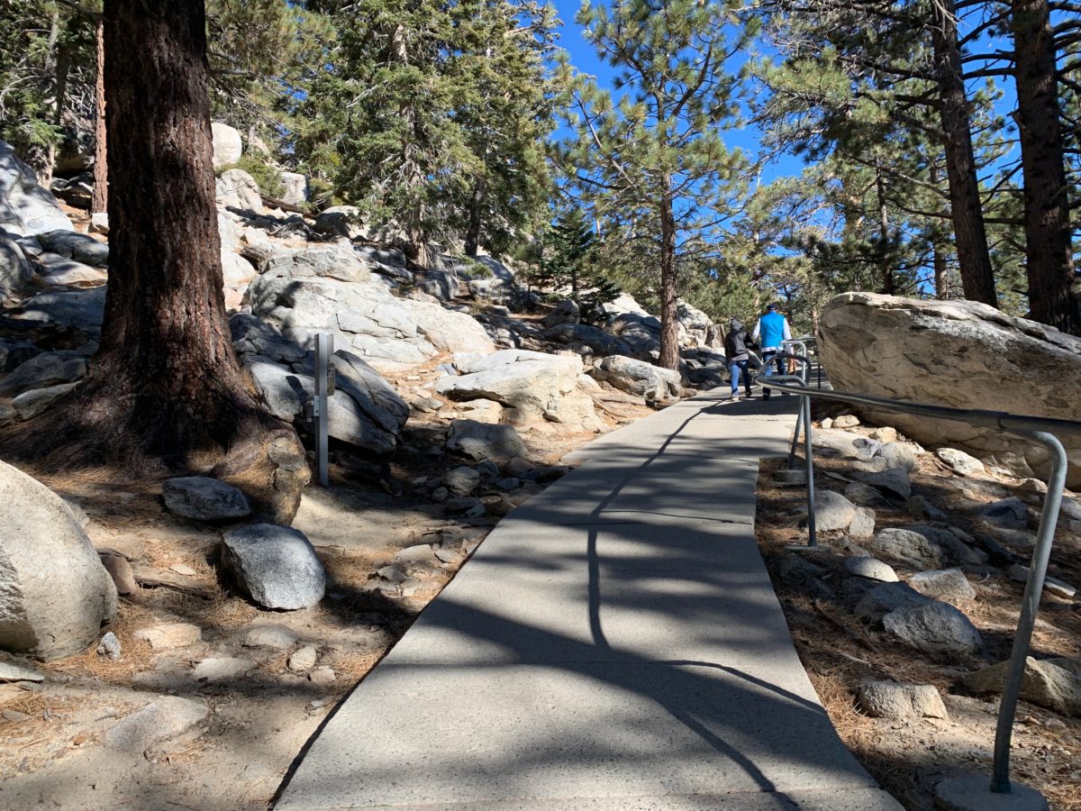
This section is paved with concrete and meanders down a series of switchbacks until you arrive at the trail map board.
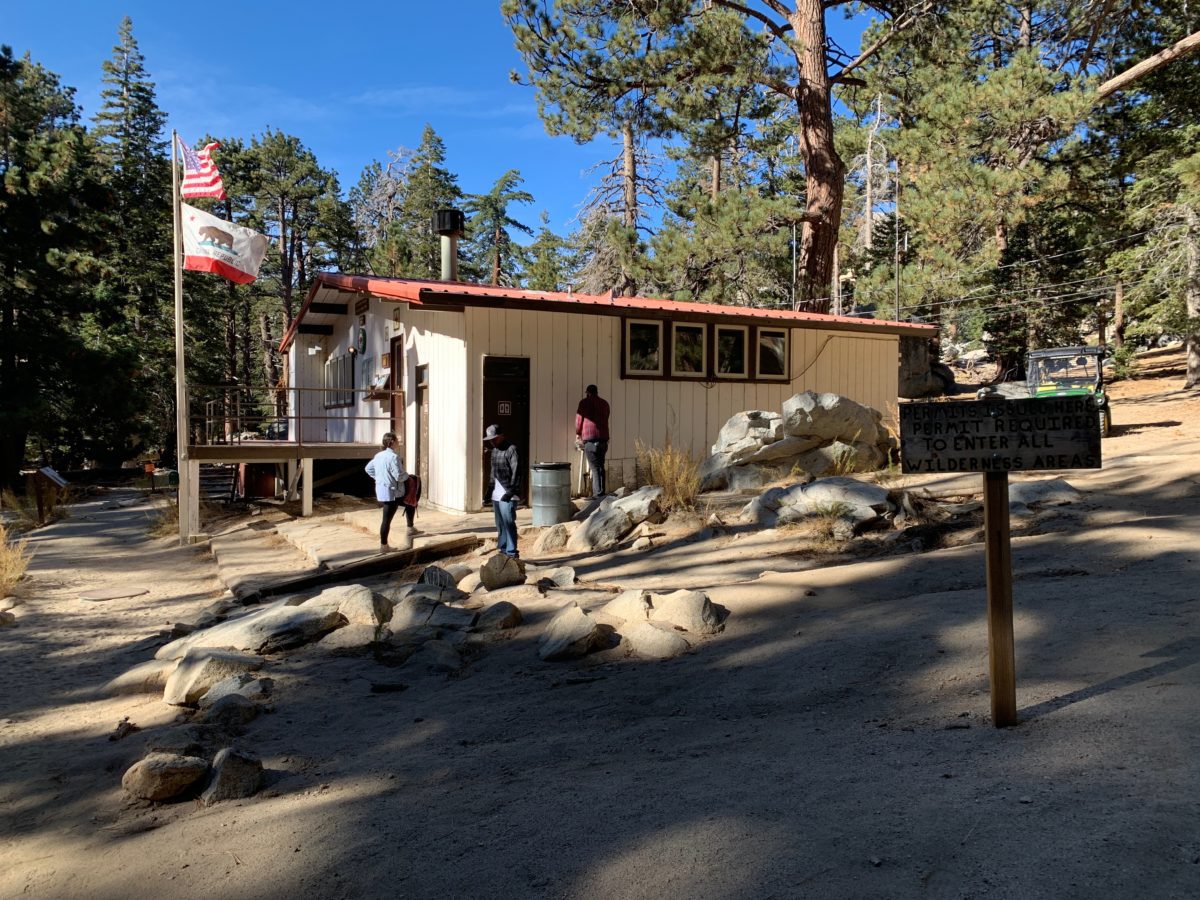
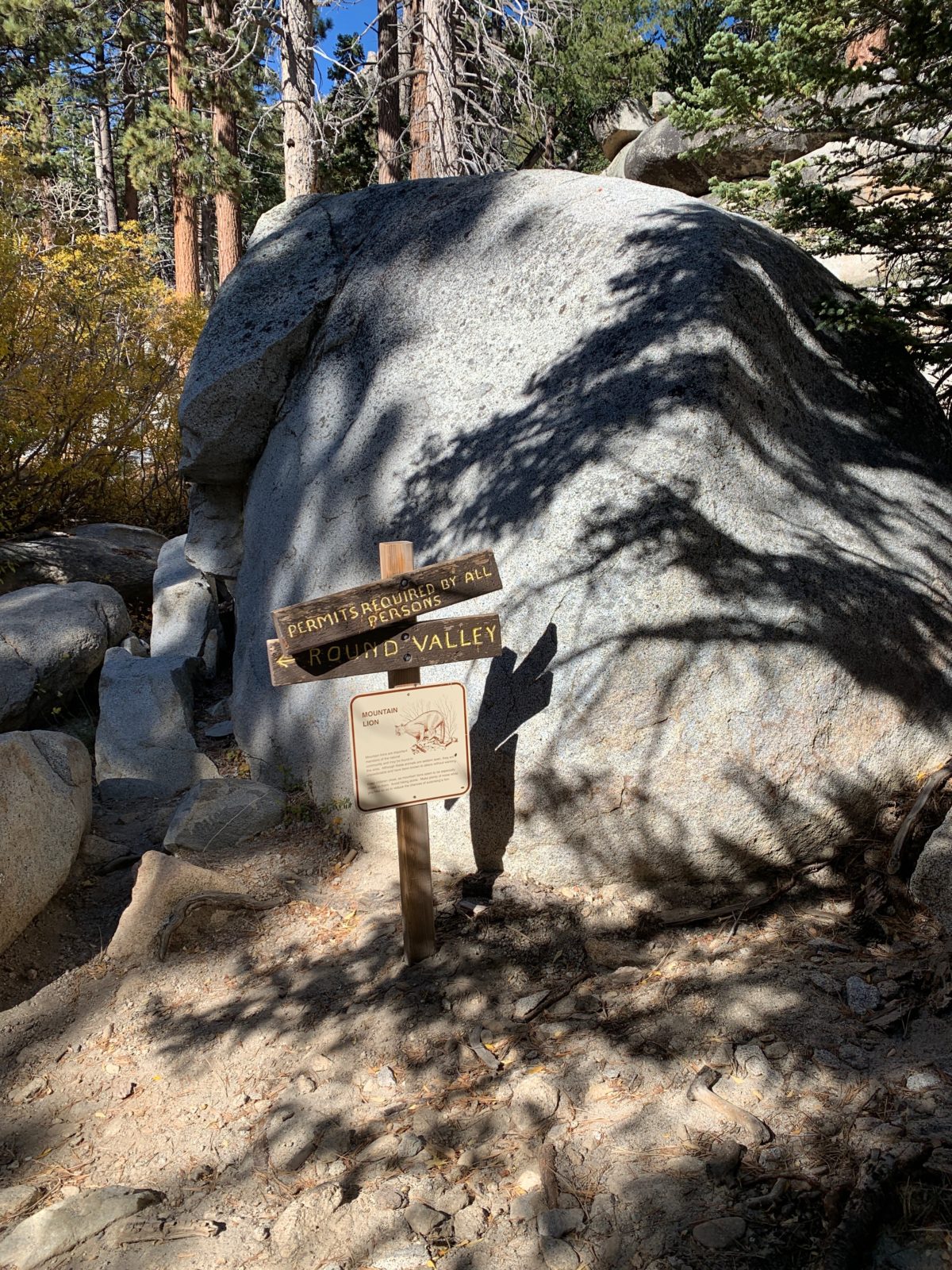
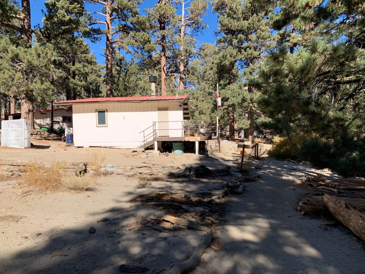
Mandatory Check-In At The Ranger Station
From the board, the trail continues to the Long Vally Ranger Station, where you must stop in to collect your free day-hiking permit.
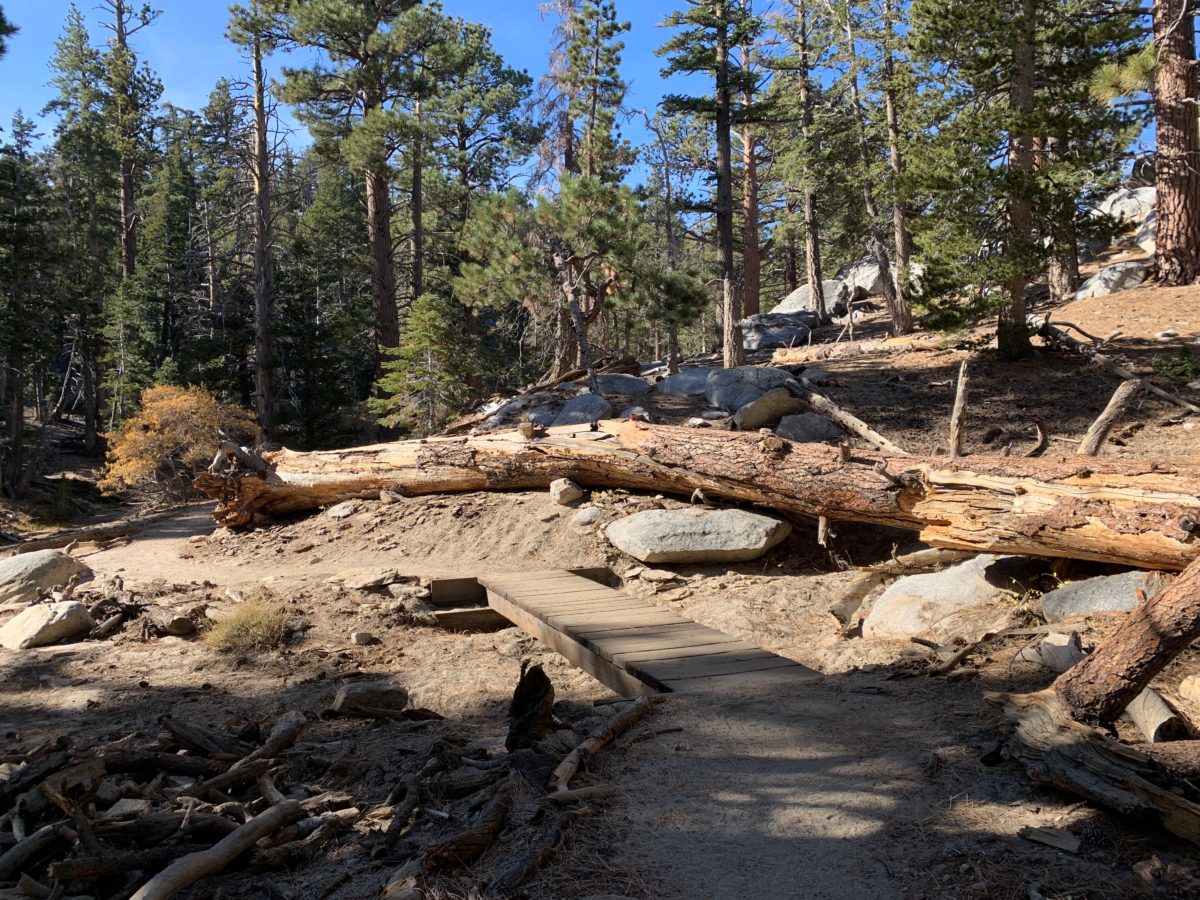
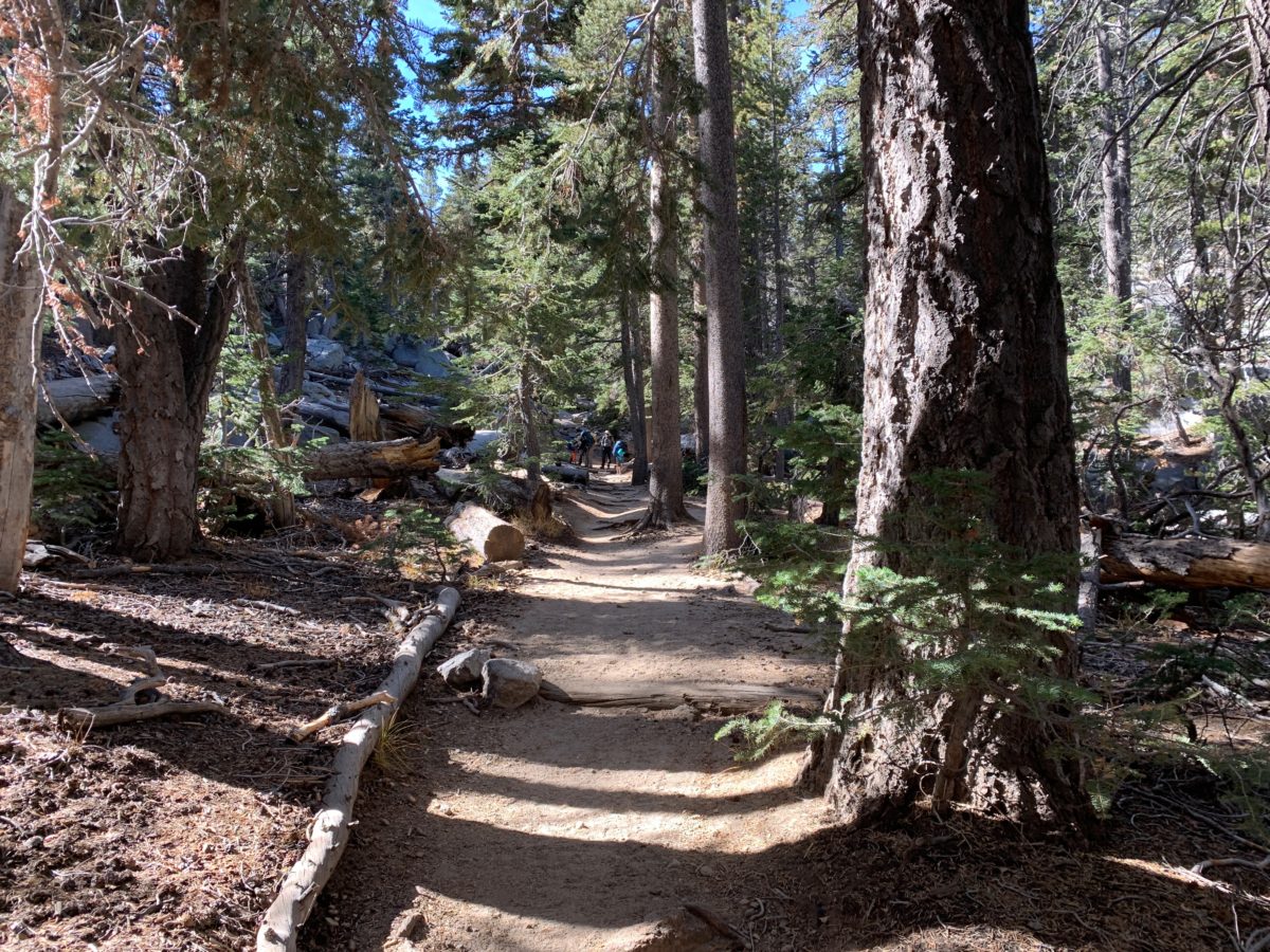
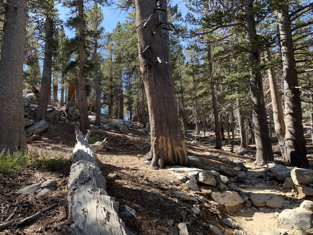
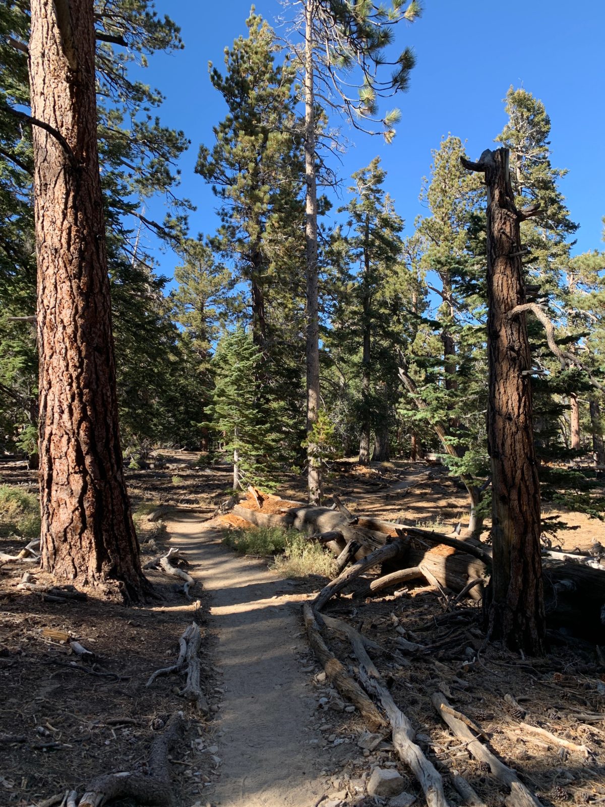
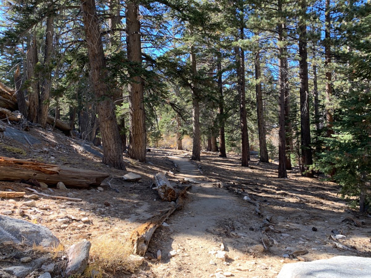
Section 2: The Round Valley Trail To The High Trail Junction (1.8 Miles)
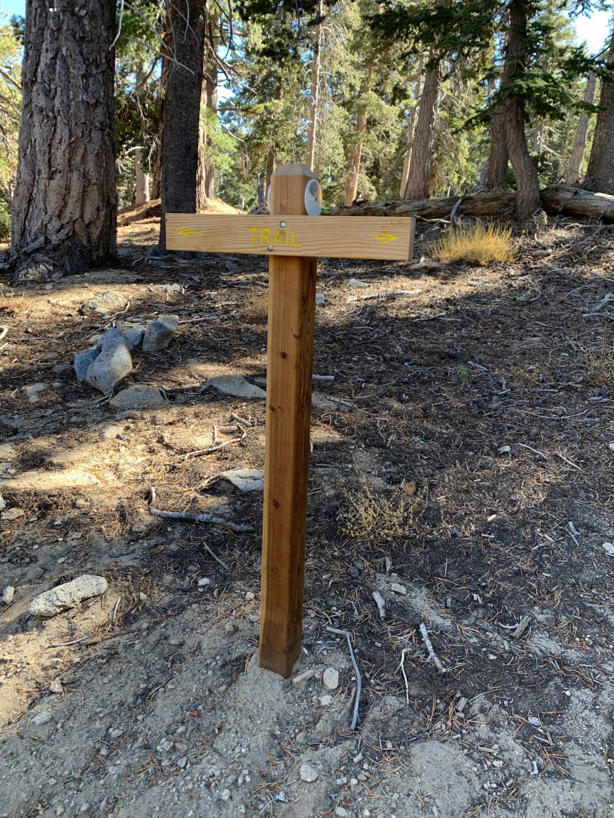
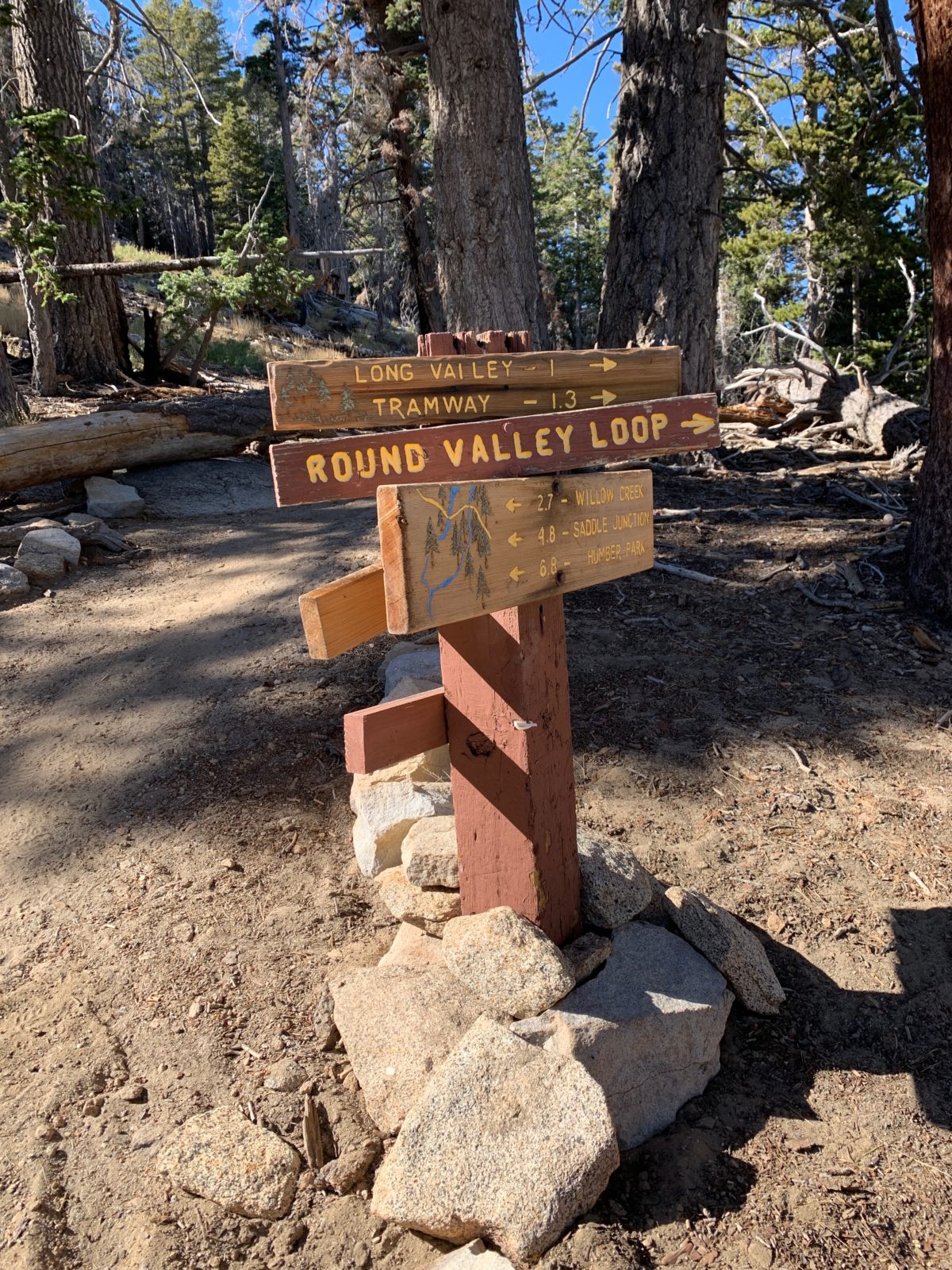
Just past the station is the official trailhead of the Round Valley Trail.
The Official Round Valley Trailhead
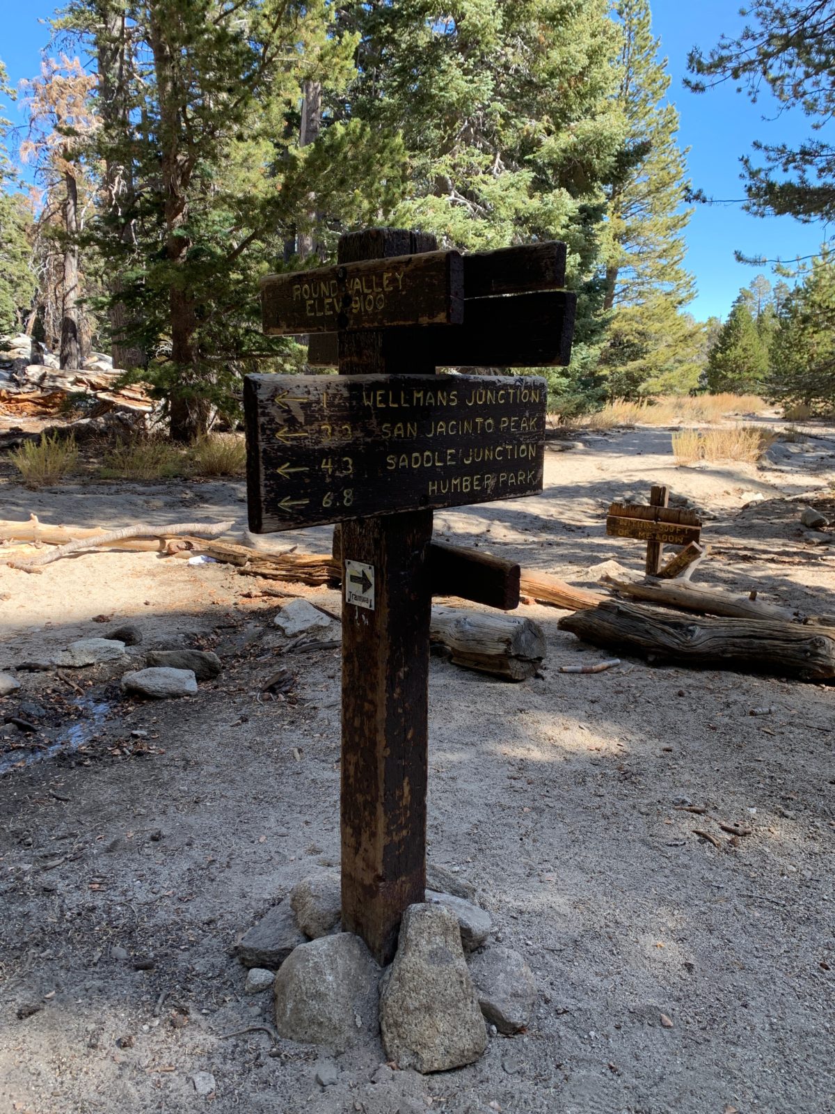
Follow the signs and keep right at the trailhead to stay on the trail to the Wellman Divide.
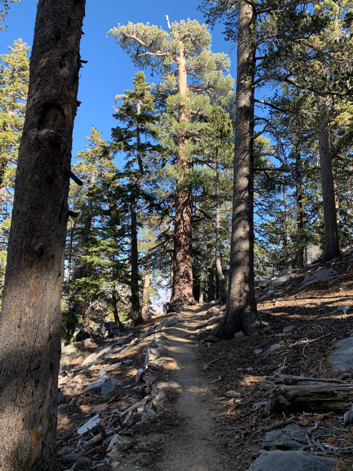
Here the trail will begin its slow and straight climb up to the junction with the High Trail.
The San Jacinto Shield-Backed Katydid
As I was hiking this section of trail, I noticed a few cricket-like bugs that I couldn’t identify. I snapped some photos and kept moving.
Well, as it turns out, this was one of the rarest bugs on the planet, the San Jacinto Shield-Backed Katydid.
When I got back to my hotel I did some digging on the internet and found out this insect was only “discovered” in 2008, and very few photos of this creature seem to exist at all.
The only place in the entire world that the San Jacinto Shield-Backed Katydid can be found is (you guessed it) Mount San Jacinto.
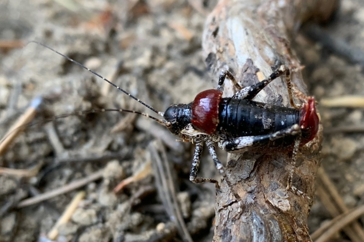
The San Jacinto Shield-Backed Katydid (Image copyright flyinghighonpoints.com)
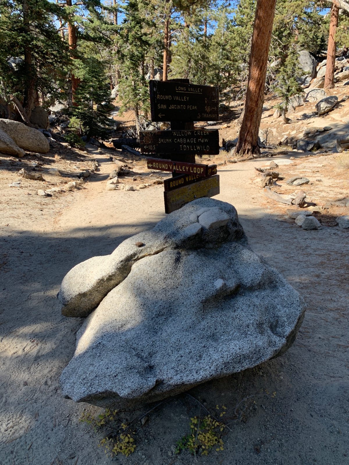
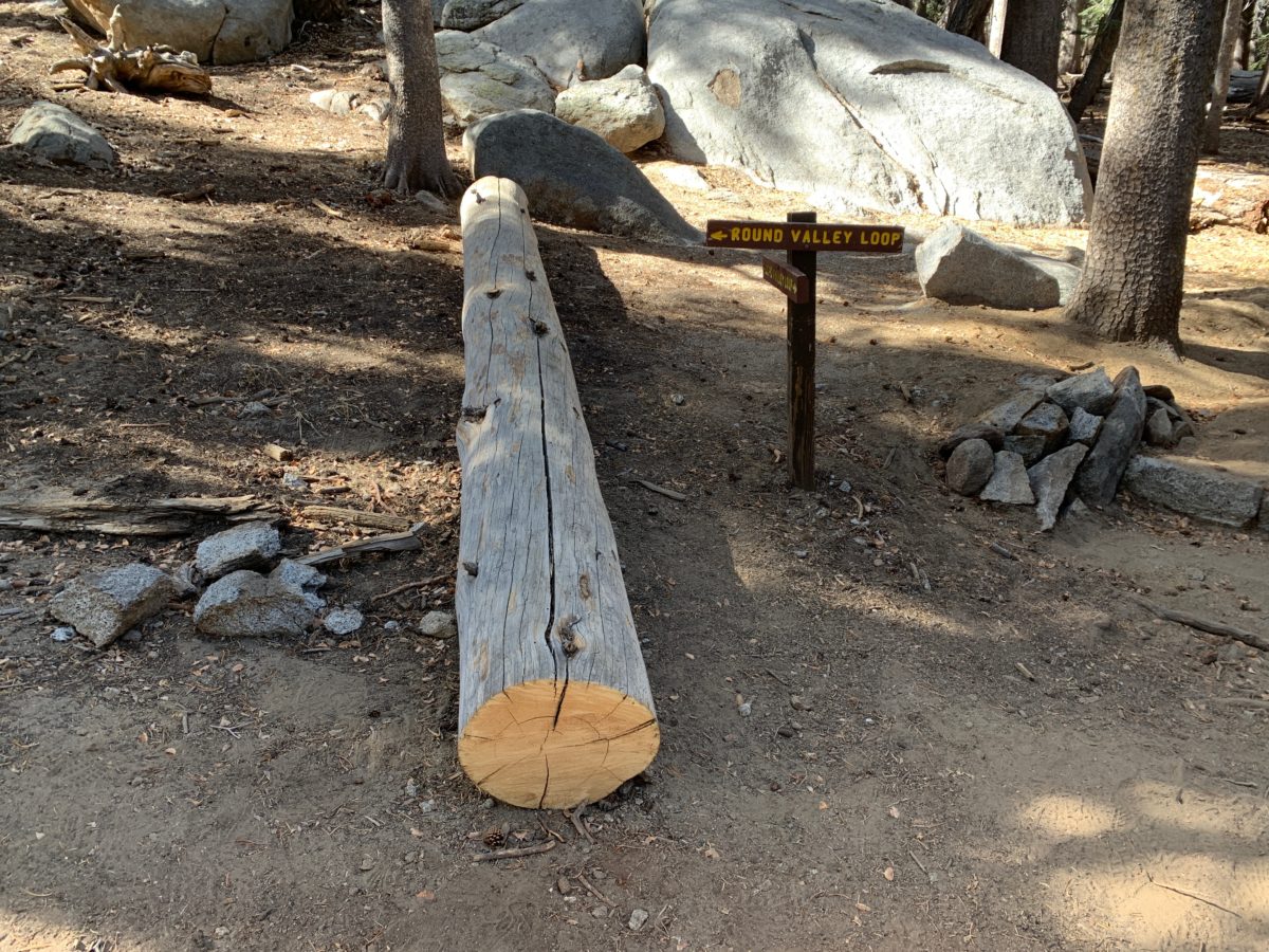
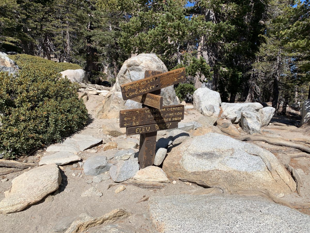
Arrival At The High Trail Junction
From the junction, keep to the right to continue on the Round Valley Trail.
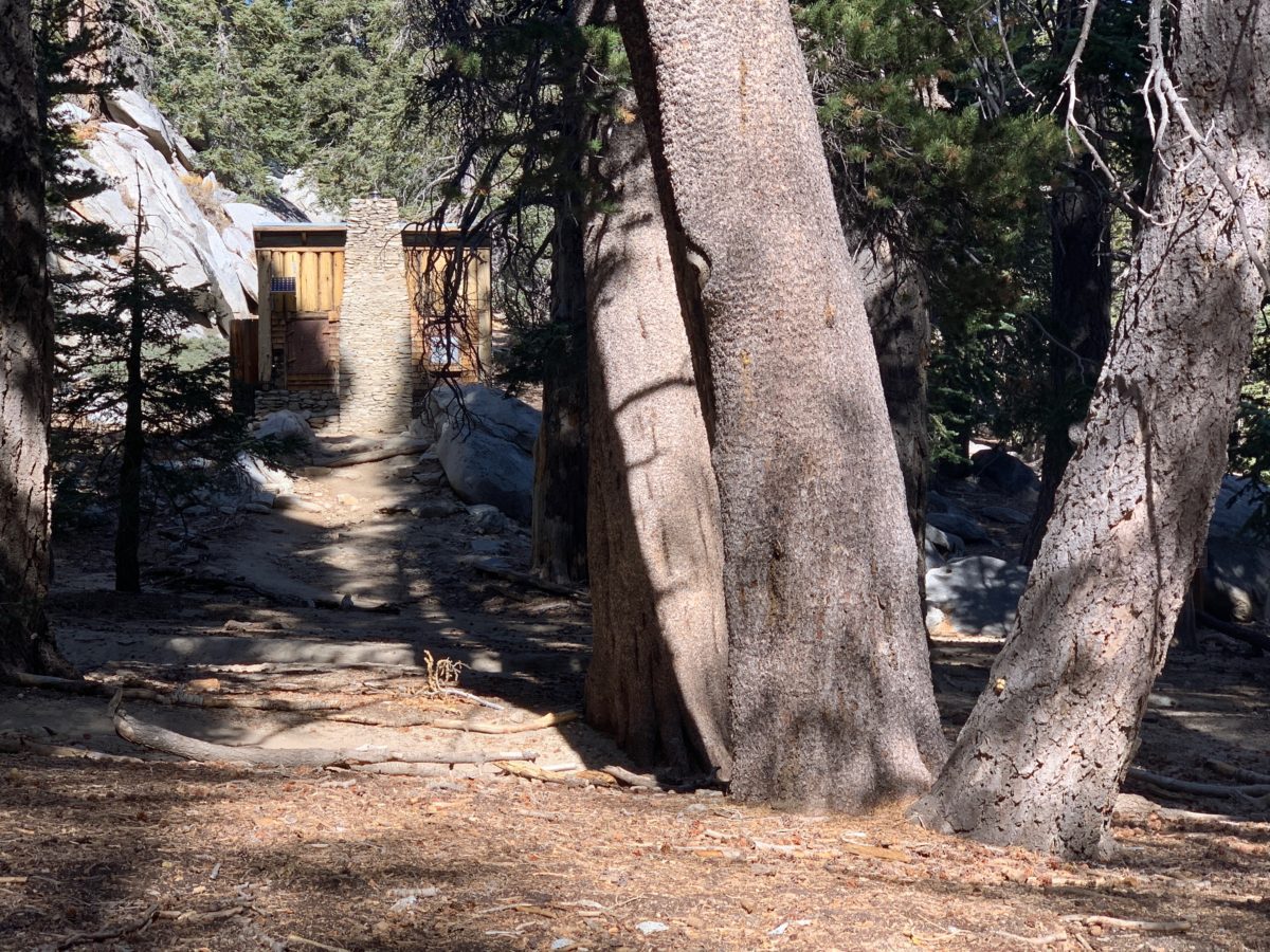
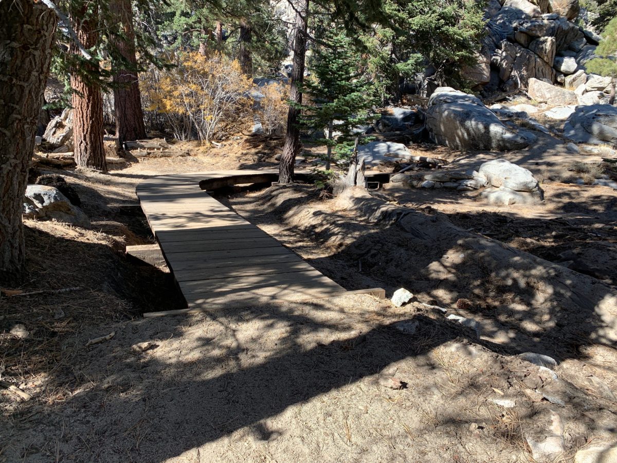
Section 3: The High Trail Junction The Seasonal Ranger Station (0.3 Miles)
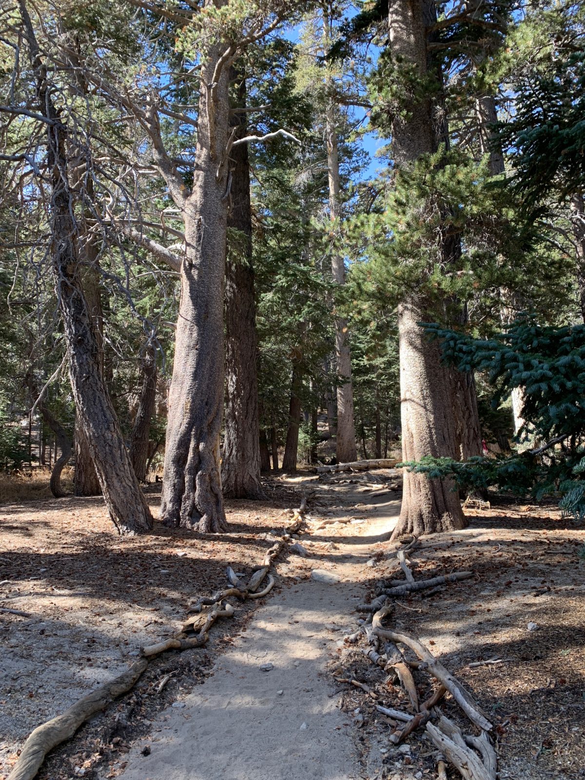
This short but scenic section of trail travels along side the Round Valley Meadow (to the right of the trail).
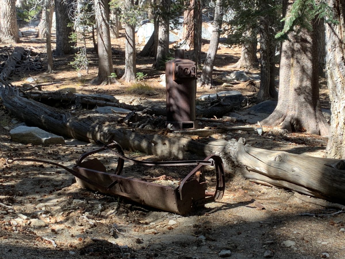
There is a seasonal Ranger Station and campground located at the end of this section where the trail meets the Tamarack Vally Trail.
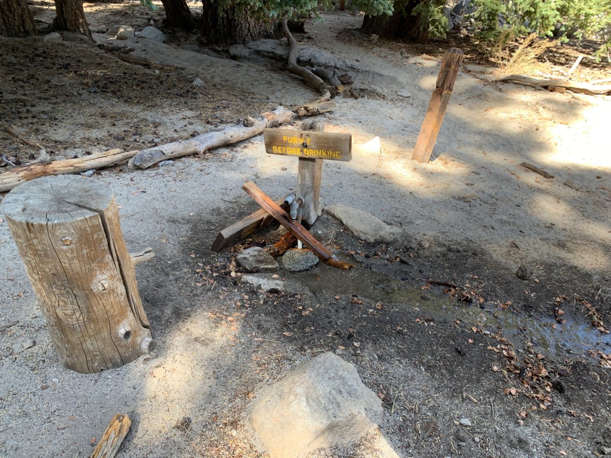
There’s a water spout here, but you must purify this water before drinking.
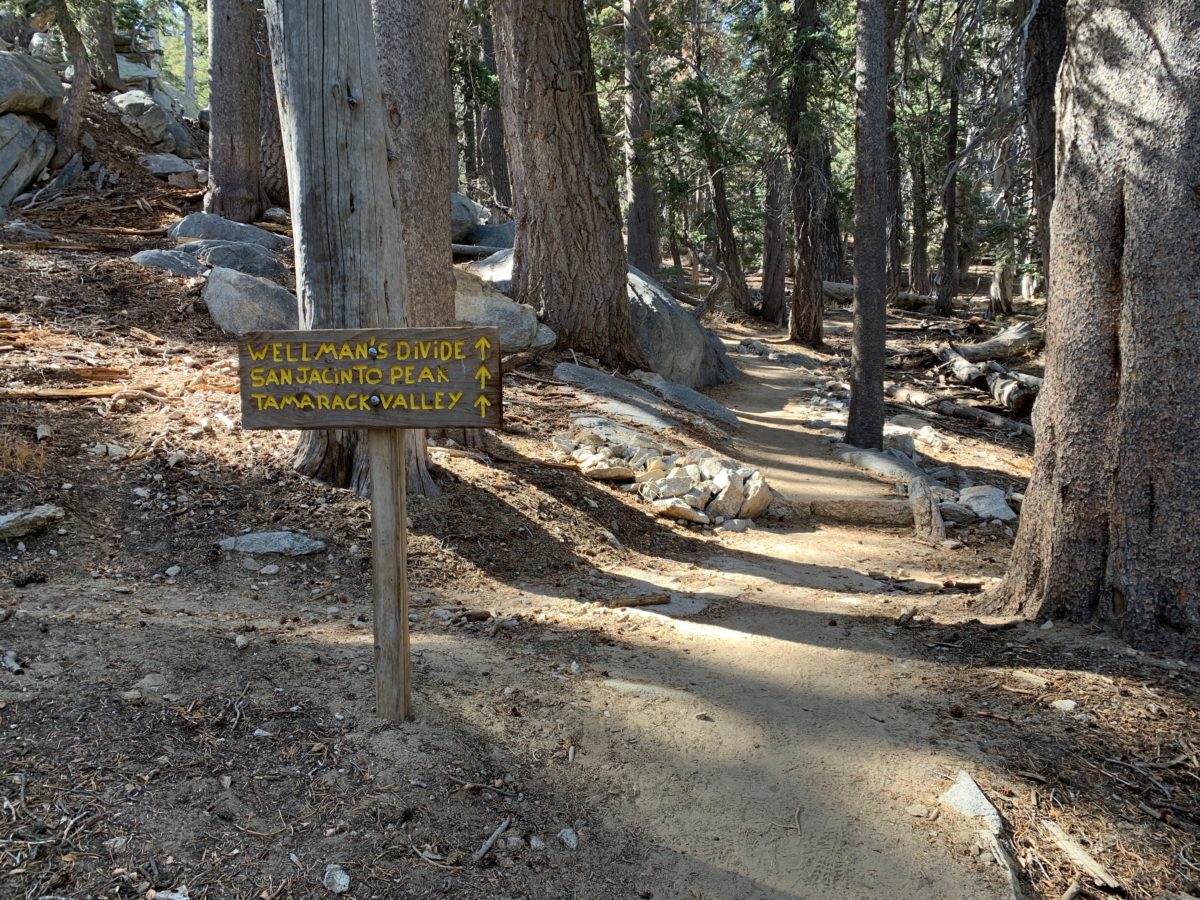
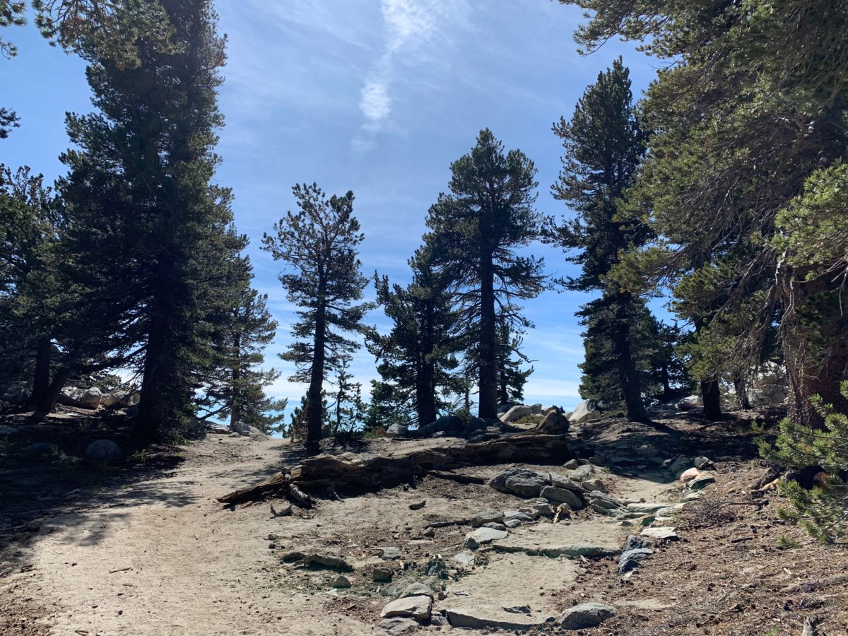
Section 4: The Seasonal Ranger Station To The Wellman Divide (1.0 Miles)
This is where things get tough, but there is good news and bad news.
The bad news is this is the hardest and steepest section of trail (with the most elevation gain) on this entire hike.
The good news is this section only lasts for exactly 1 mile (and it’s pretty).
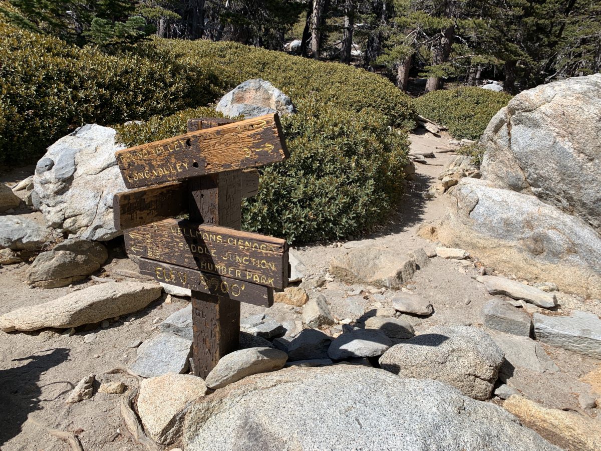
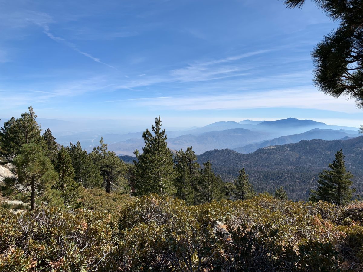
This sign marks the Wellman Divide viewpoint
The Wellman Divide (And Lunch)
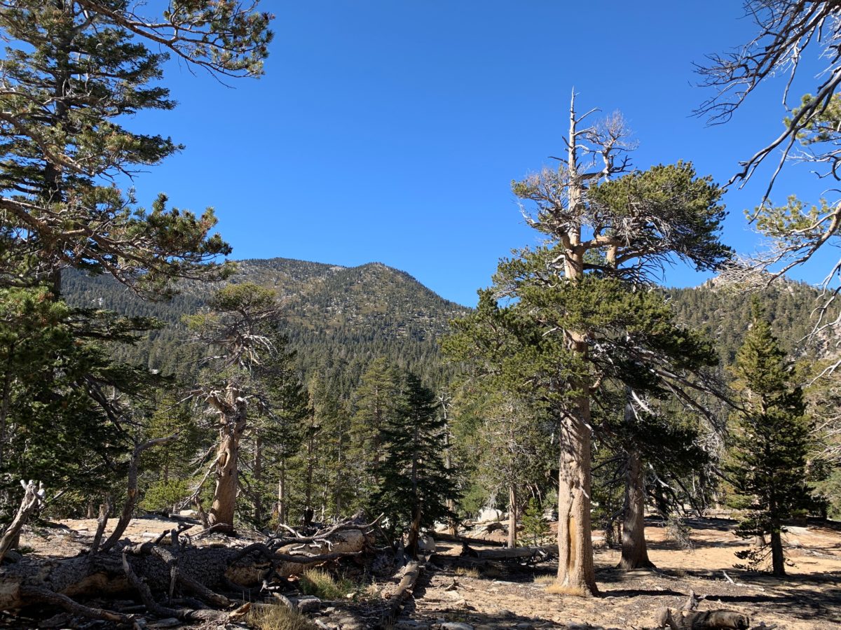
The view from the Wellman Divide is breathtaking. It’s also the perfect spot for lunch before returning down the mountain.
FHOP Tip: At the Wellman Divide, you’ll have the option of choosing to “go for it” and continuing on to the Peak Trail for the 2.7 miles to the summit of San Jacinto Peak.
For this post, I’ll stop at the Wellman Divide. It’s the perfect place to relax and take in the amazing views.
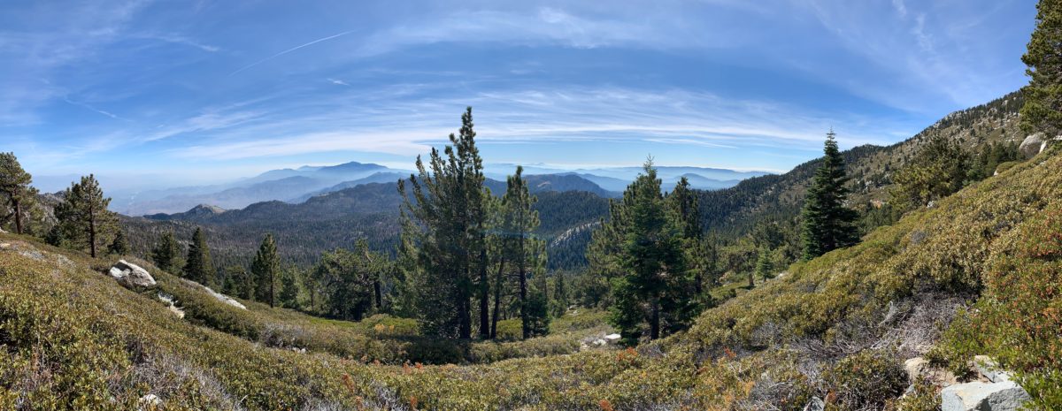
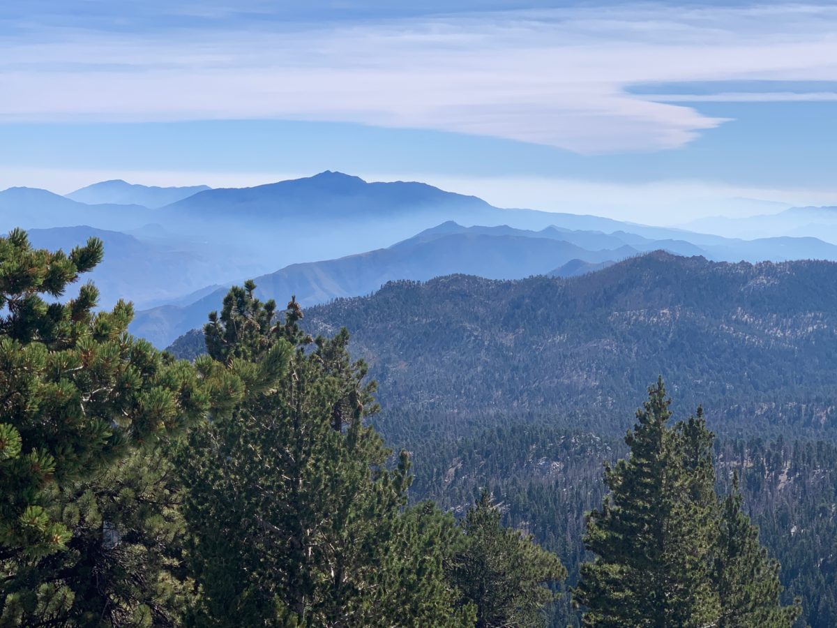
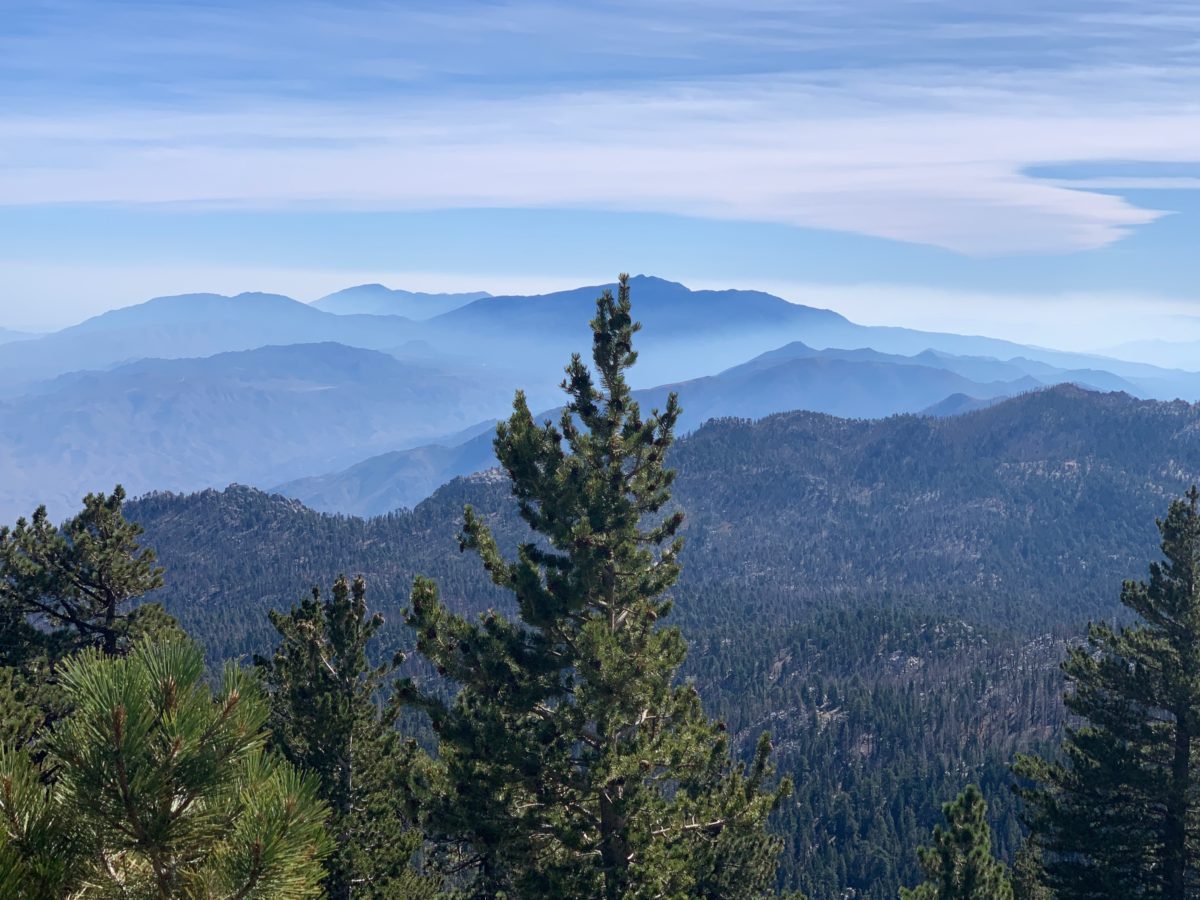
Who would have ever thought there’d be views like this in Palm Springs?
Section 5: The Wellman Divide Back To The Seasonal Ranger Station (1.0 Miles)
After lunch, head back down the steep part of the trail (the way you came) to the seasonal Ranger Station.
Section 6: The Seasonal Ranger Station Back To The High Trail Junction (0.3 Miles)
Continue on the trail until you hit the High Trail junction.
I really liked this section of trail as it looked completely different “going” than it did “coming”.
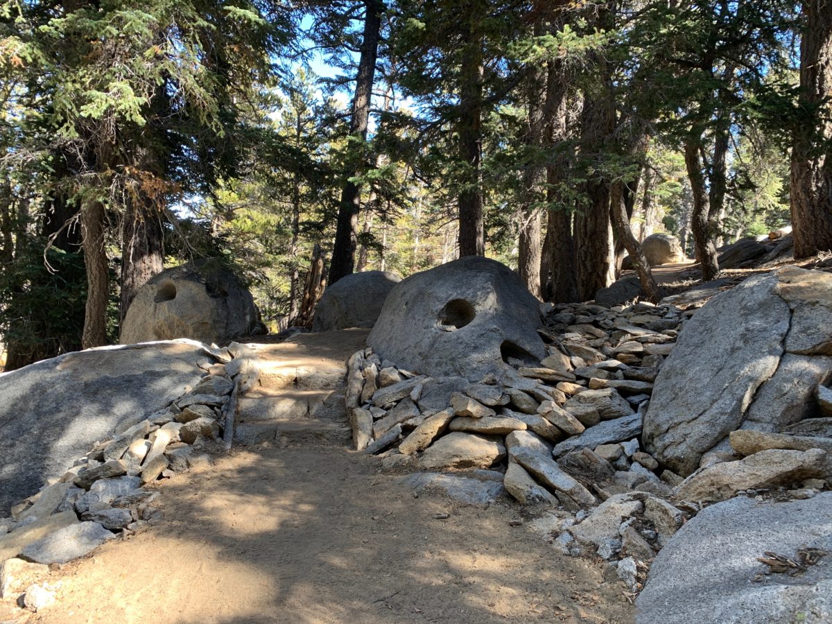
What’s with all the holes in these rocks?
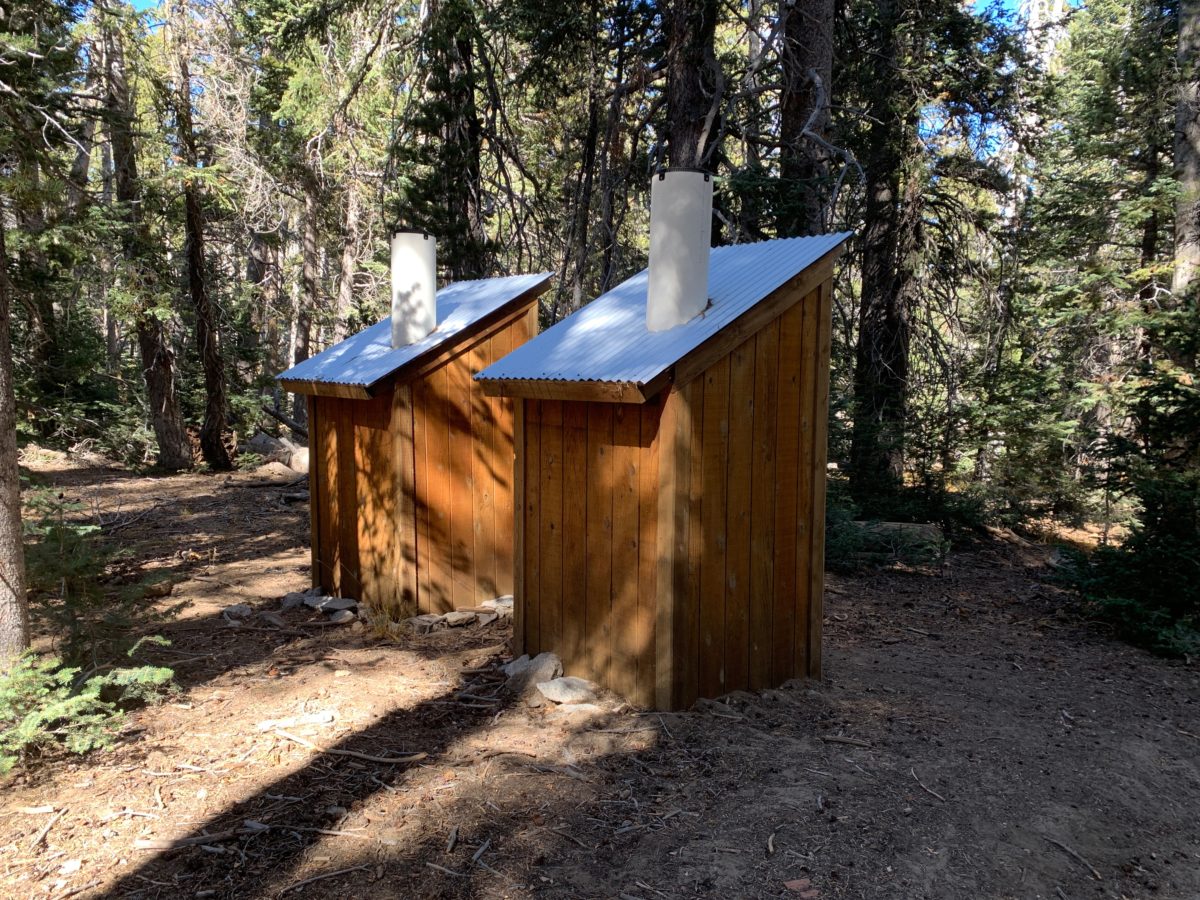
There are a couple of restrooms here (just in case duty calls)
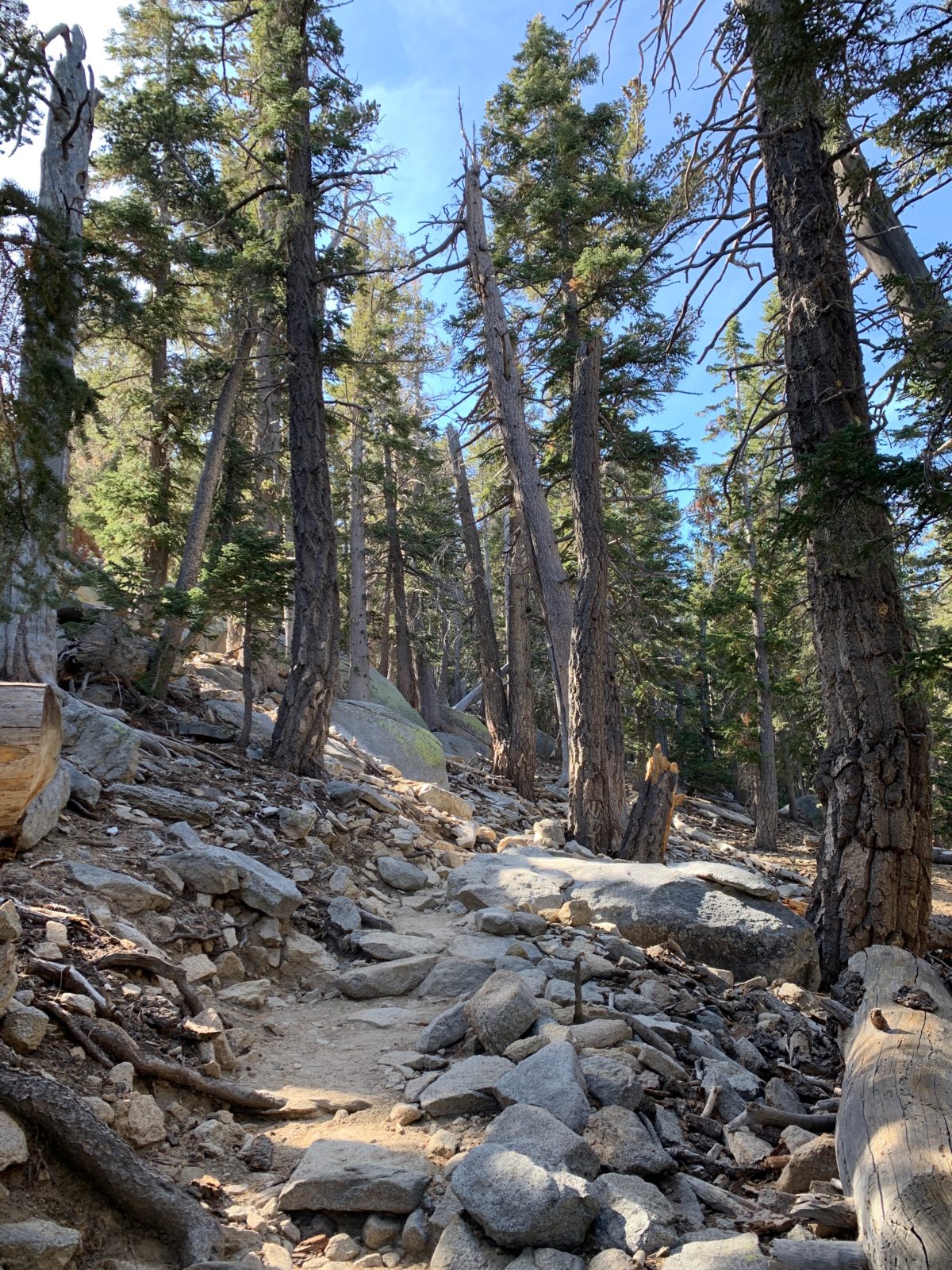
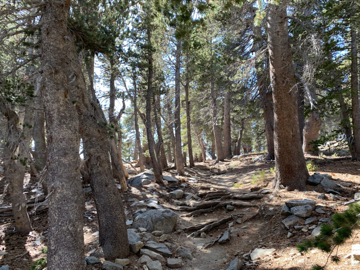
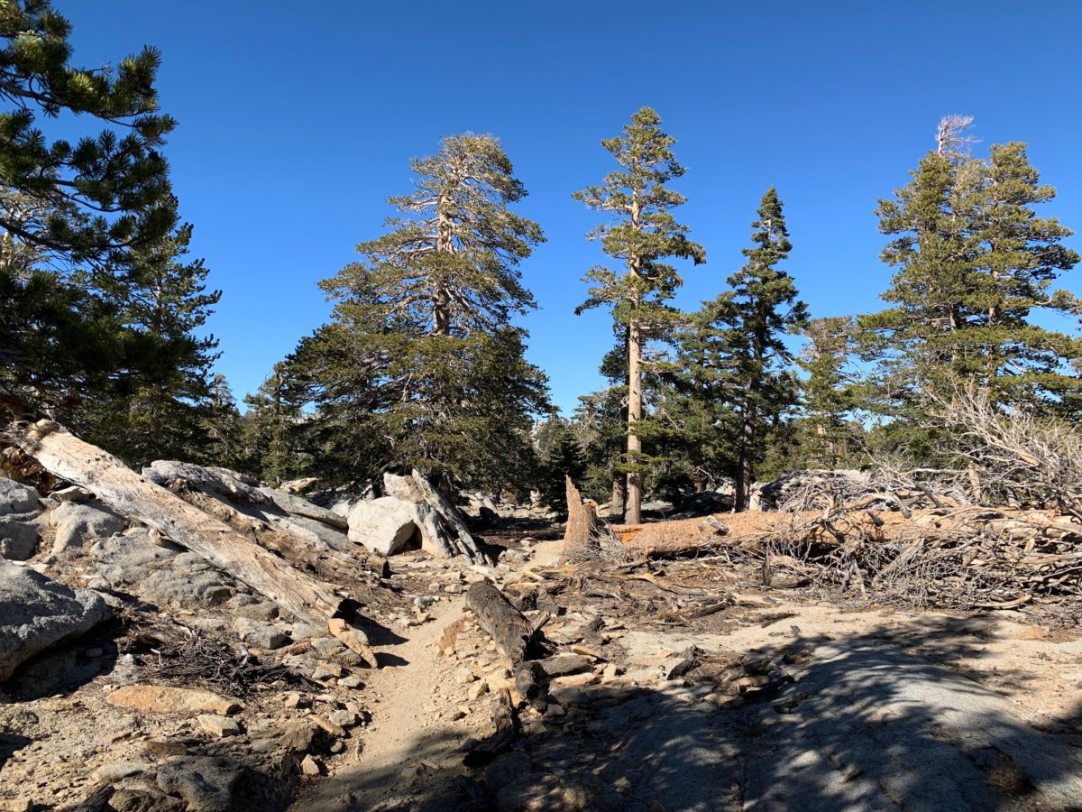
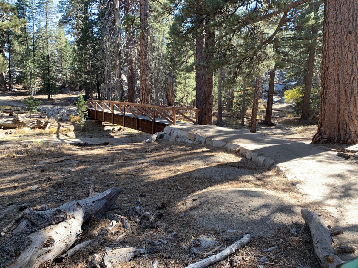
Section 7: The High Trail To The Willow Creek Trail Junction (1.1 Miles)
The mostly-flat High Trail was another very scenic section of trail that I really enjoyed.
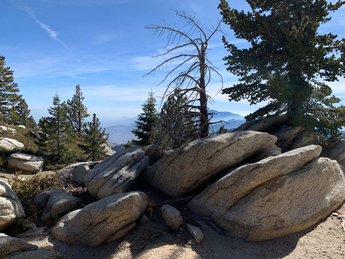
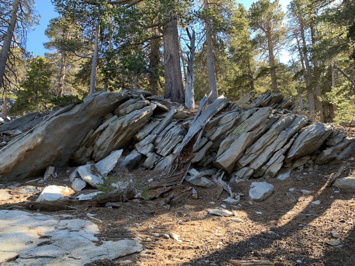
There were a lot of crazy rock formations to the right of this trail, so keep your eyes peeled.
You can see the summit of San Jacinto peeking out through the trees.
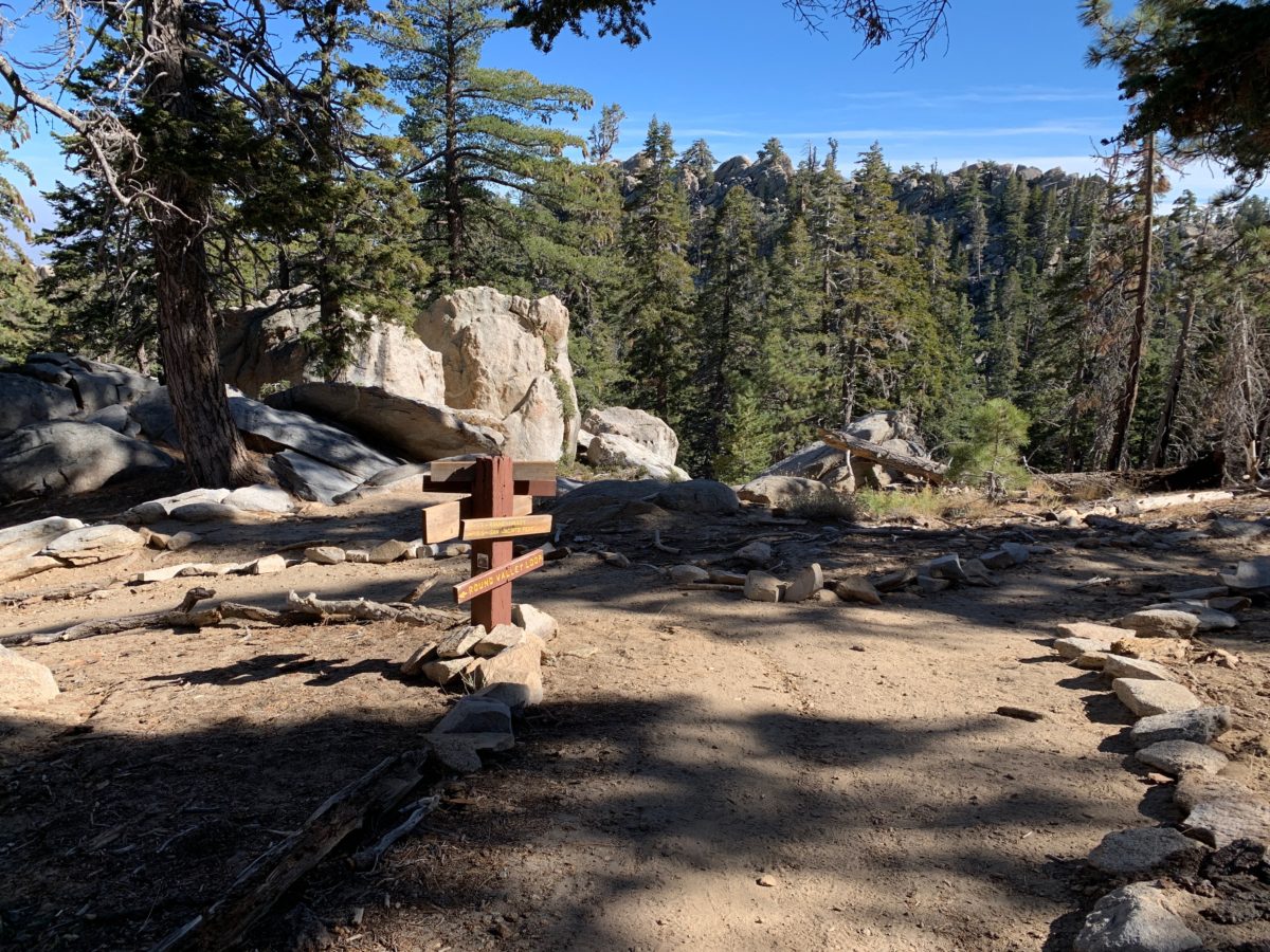
This sign marks the Willow Creek Trail junction
Section 8: The Willow Creek Trail Back To The Long Valley Ranger Station (1.0 Miles)
The final section of trail is the “all downhill from here” Willlow Creek Trail.
The Willow Creek Trail is notable for its many large rocks and boulders that are found almost the entire way down the trail.
There are a couple of rocks with “big-steps down,” so watch your footing and take your time.
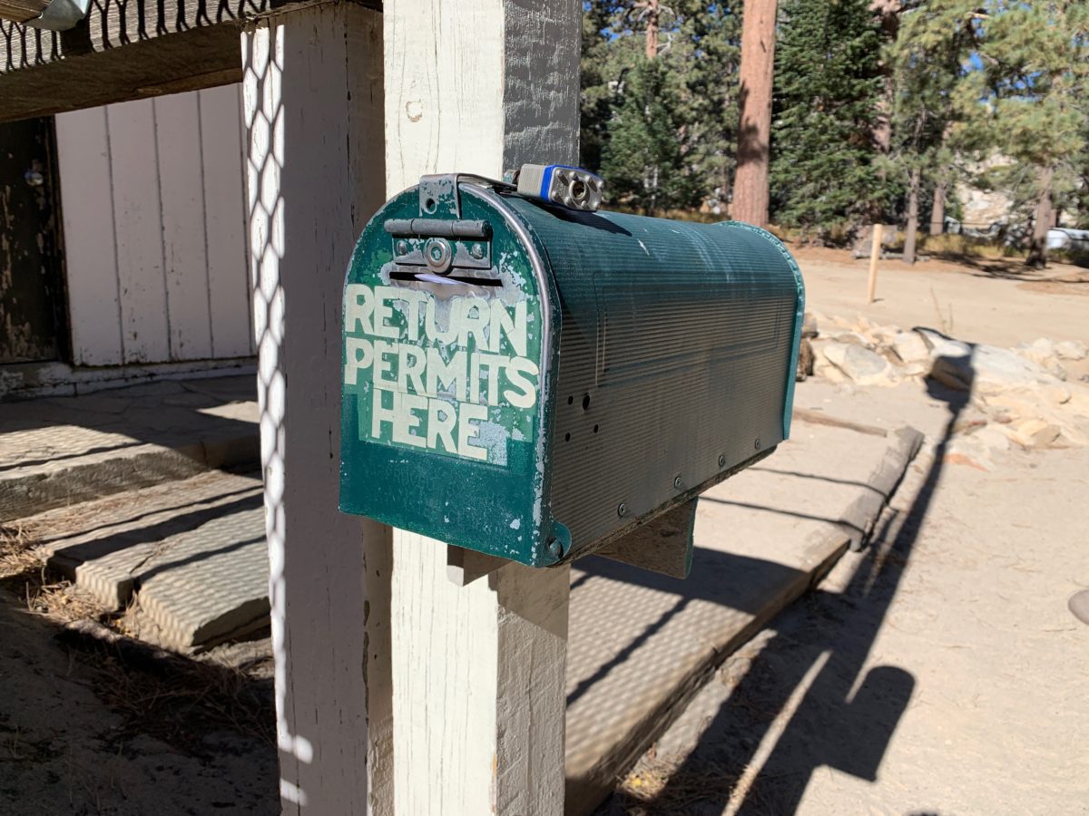
The Mandatory Permit Drop-Off At The Long Valley Ranger Station
The trail will lead you back to the Long Valley Ranger Station where there is a mailbox to drop-off your permit.
Section 9: The Long Valley Ranger Station Back To The Upper Terminal Mountain Station
The last section is the series of long switchbacks back up the hill to the Upper Mountain Terminal Station, where you can grab a bite (or a drink) before heading back down the mountain via the tramway.
Final Thoughts: Hiking The Round Valley Trail Loop To The Wellman Divide, Mt. San Jacinto State Park (Palm Springs, CA)
What a great hike!
I think the whole hike took us around 4 hours to complete, but that was with an almost 1-hour lunch break at the Wellman Divide.
No doubt, the trail was challenging in some parts, but I wouldn’t call it “hard” at all.
It was a scenic and well-marked trail that gingerly trekked through a dense alpine forest to a viewpoint that was a wonderful “payoff”.
The Round Valley Trail Loop To The Wellman Divide was a great way to spend a half-day in Palm Springs.