
Yosemite National Park has some of the best hiking trails in the world. Period.
However, some trails can be incredibly difficult, long, or logistically demanding.
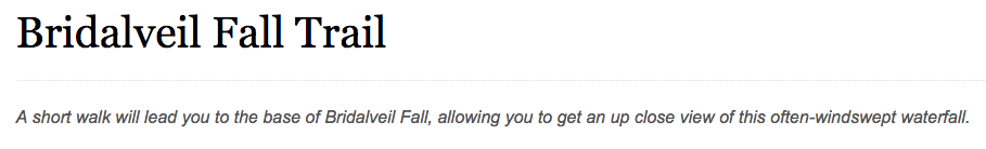
Luckily, there is a trail in Yosemite Valley with one of the Park’s most iconic waterfalls that also happens to be one of the easiest and most accessible trails in all of Yosemite – the Bridalveil Fall Trail.
Hiking The Bridalveil Fall Trail (Yosemite National Park, CA)
Editor’s Note: This article is part of my ongoing series on California
Click here for more on Yosemite National Park, and here for more on Things To Do In The State of California
About The Bridalveil Fall Trail
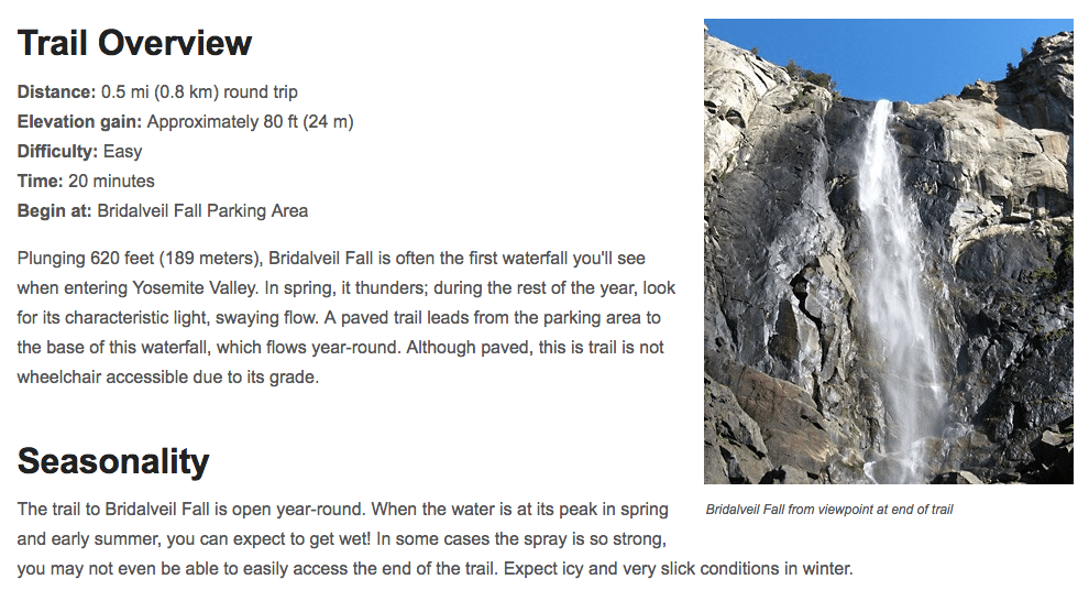
Below is the trail description from the National Park Service on the official website for Yosemite National Park:
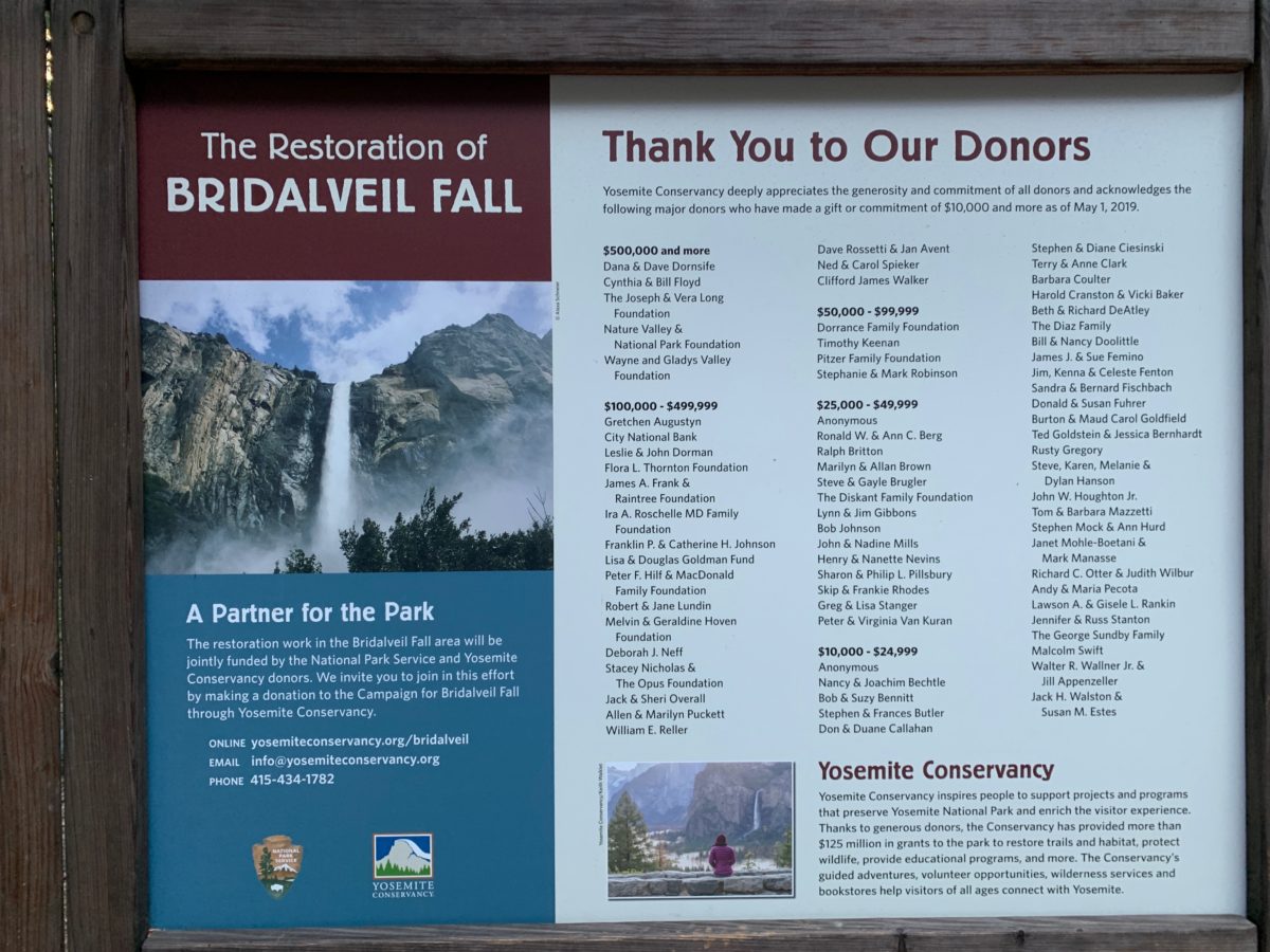
Images: nps.gov
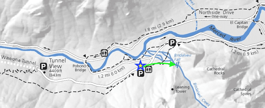
The Bridalveil Fall Trail Map
Getting to Bridalveil Fall is easy.
From the Tunnel View parking lot, the Bridalveil Fall parking lot is the first stop (on the right) as you head into the Valley.
The well-marked trailhead is accessed from the east end of the parking lot, “you can’t miss it”.
In the map below, you can see the parking lot to Bridalveil Fall is marked with a “blue and yellow star” and the trail to the fall is marked with a “green arrow”.
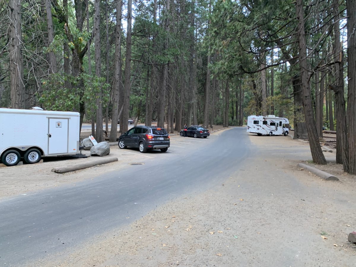
The Parking Lot
The parking lot is medium-sized but often has plenty of parking for those that arrive semi-early (before 11:00 am).
This parking lot also has restrooms for those who may need a stop after the 1-hour plus drive through the park to get to the Valley.
Section 1: The Parking Lot Trailhead To The Informational Boards
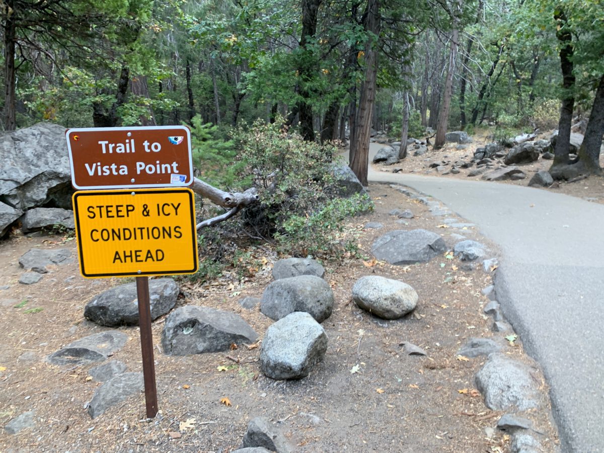
The large sign below marks the trailhead.
As noted above by the NPS, this trail is an easy, 0.25 mile (1000 feet) hike [each-way] down a mostly flat, well-shaded, and completely paved trail.
However, it is not wheelchair accessible.
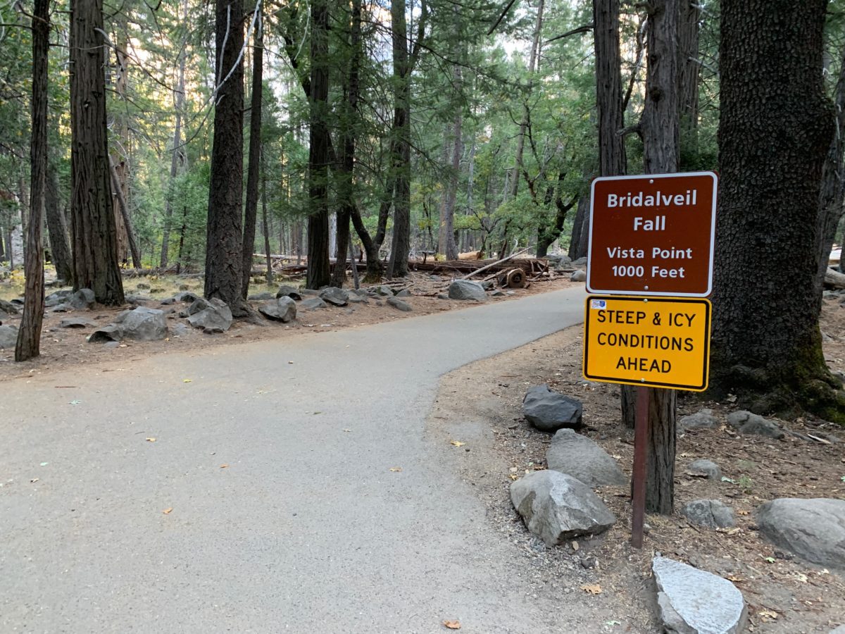
The trailhead at the parking lot. Don’t let the “steep & icy” signs scare you, if you visit Yosemite from late Spring to early Fall, you are unlikely to run into icy conditions.
Section 2: The Informational Signage To The Bridalveil Creek
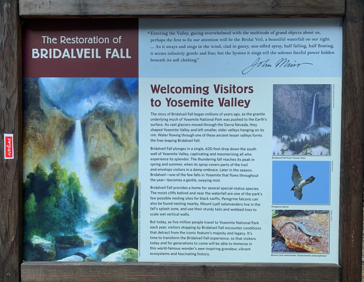
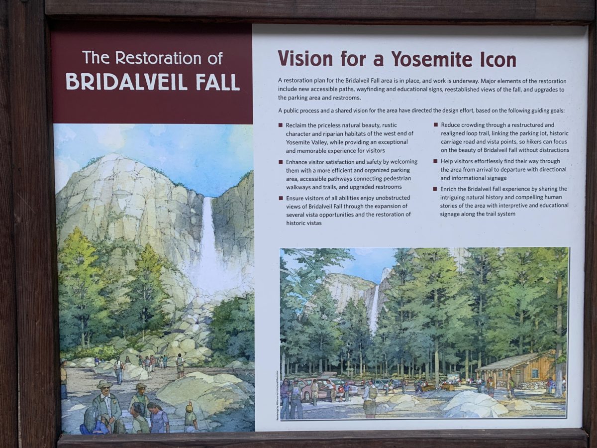
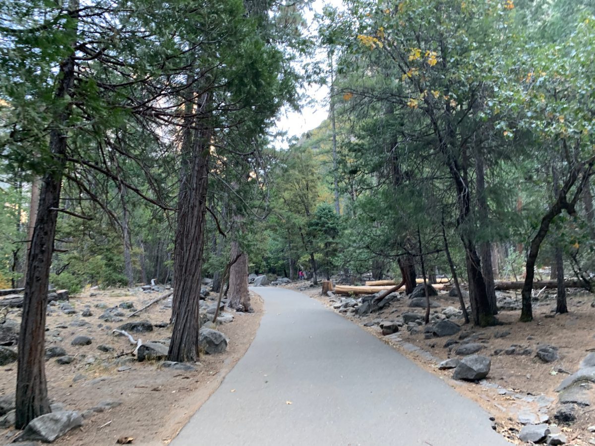
After a just a few strides down the trail, you’ll arrive at a trio of informational boards.
From here, the trail will veer right and head slightly uphill until it reaches and eventually parallels the creek.
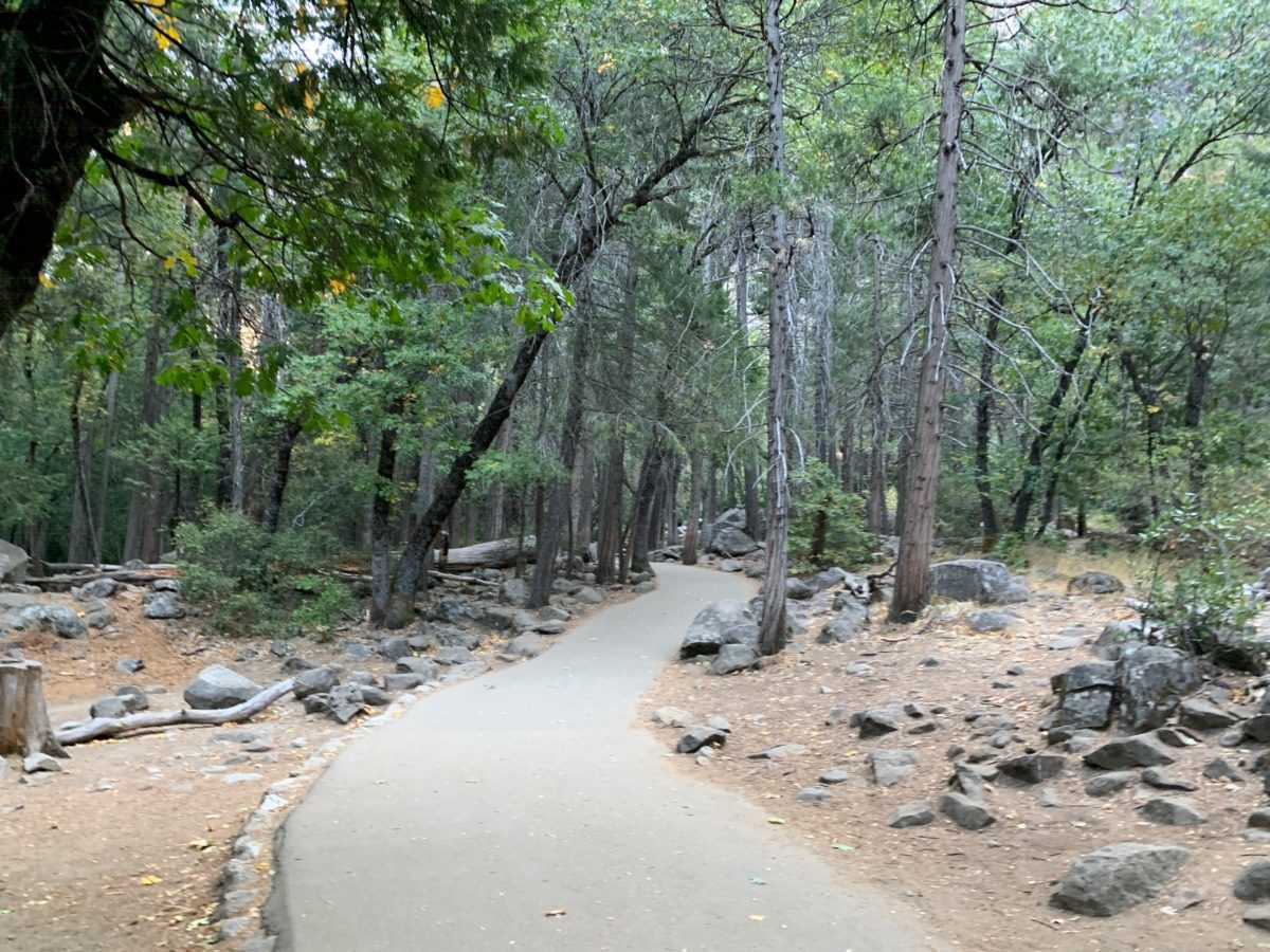
Continue down the trail following this sign to the Vista Point.
There they go again
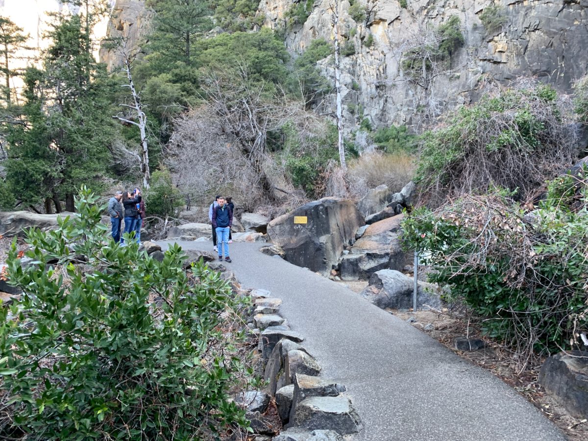
Section 3: The Bridalveil Creek To The Vista Point
After reaching the creek, the trail with bank right and begin the “steepest” part of this hike.
“Steep” maybe too strong a word, but this uphill section can be a little wet depending on wind and temperature conditions (just be aware).
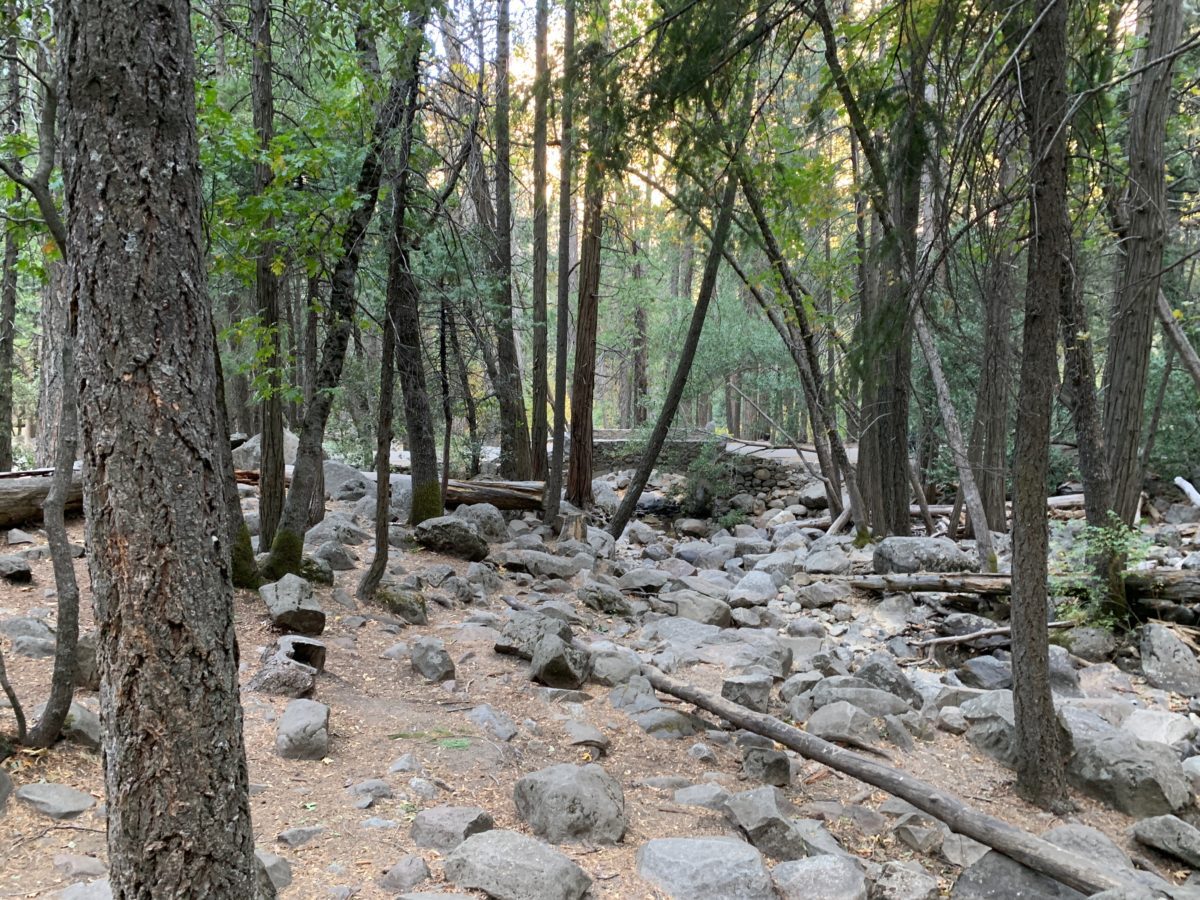
A Valley Loop Trail bridge (visible through the woods)
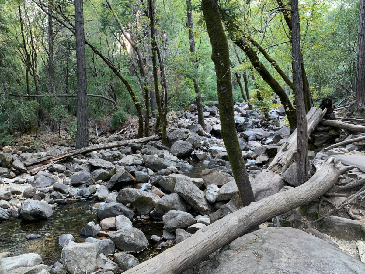
Bridalveil Creek
The creek may seem shallow and serene, but there is a current – so beware
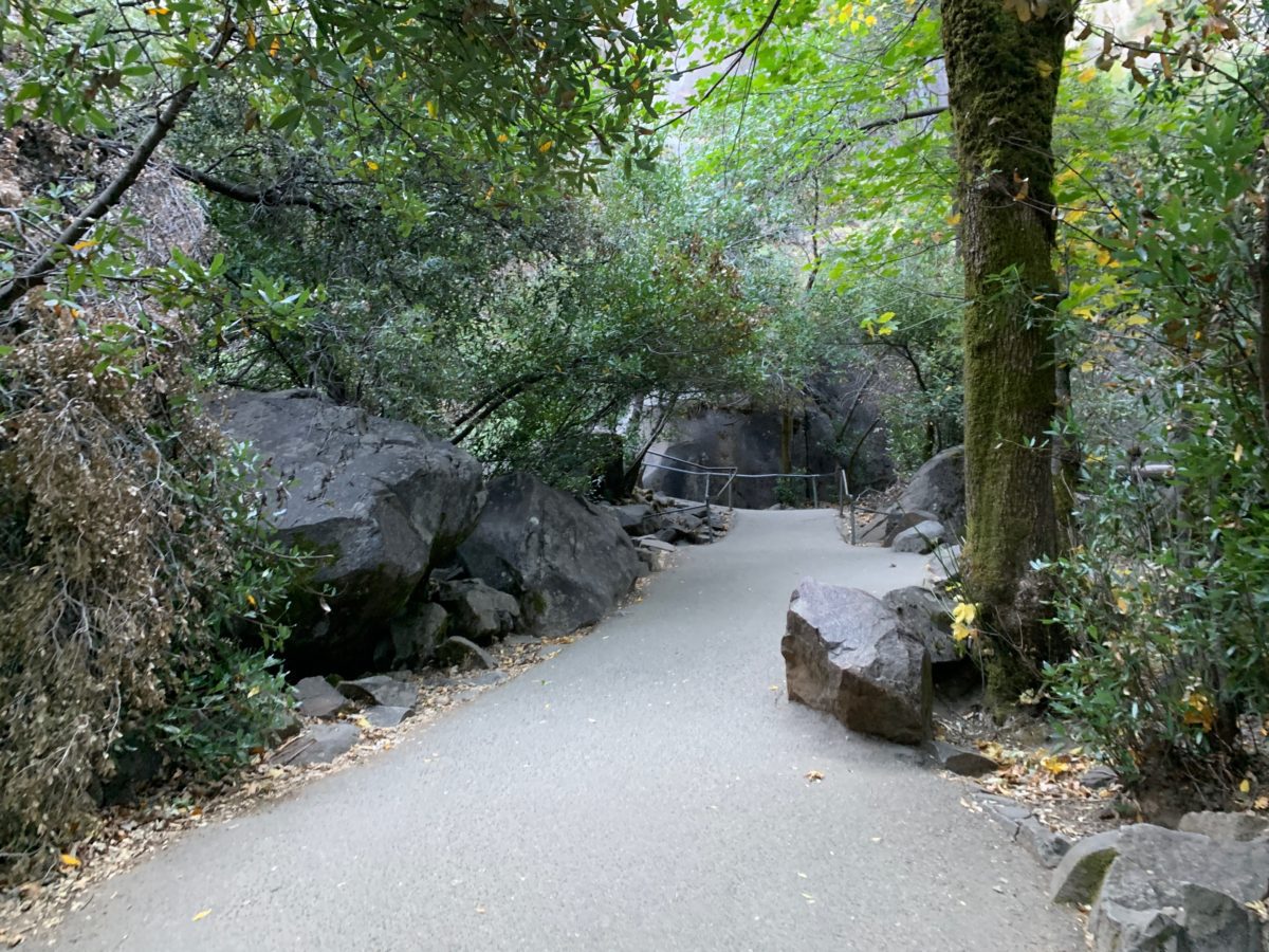
The endgame: The vista point is just around the corner
There it is, the Vista Point
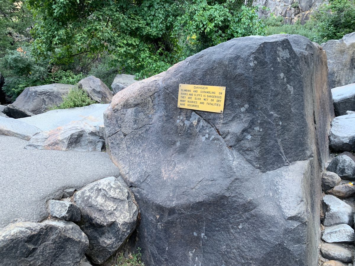
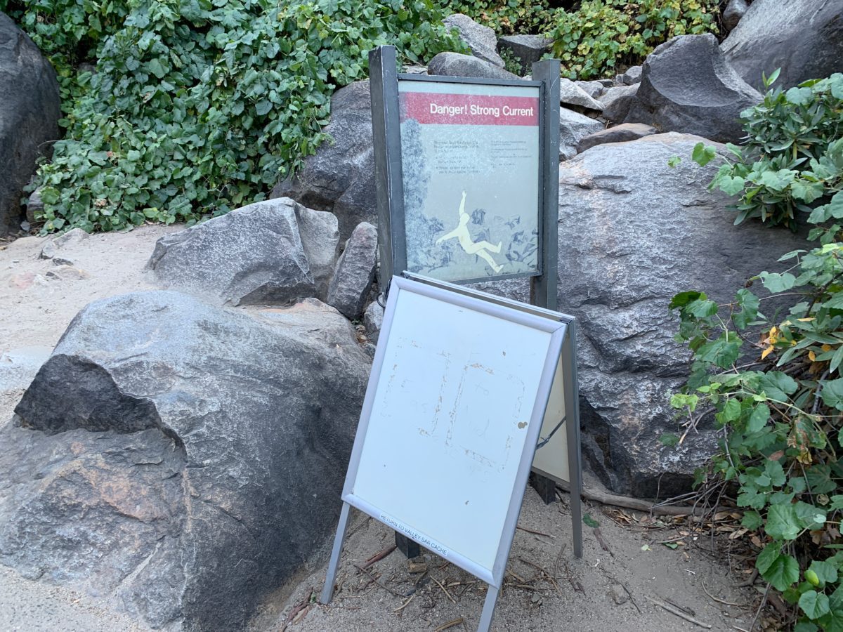
These rocks may look safe, but the sign does state, “many…fatalities have occurred” there.
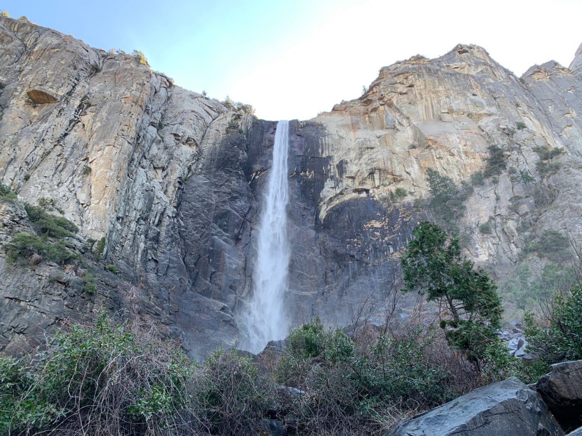
The Bridalveil Fall Vista Point
Soon, the trail dead-ends at the Vista Point, where it’s not unusual to get wet from the mist of the waterfall.
The size of the waterfall can vary wildly from a trickle to a massive, substantial flow depending on the time of year (see the below comparison photos from October and March).
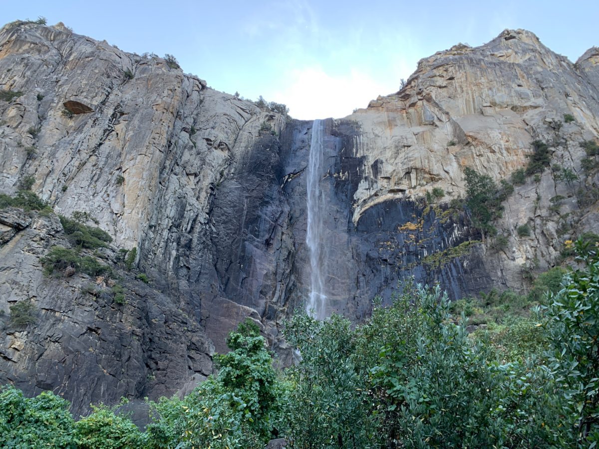
Bridalveil Fall in October
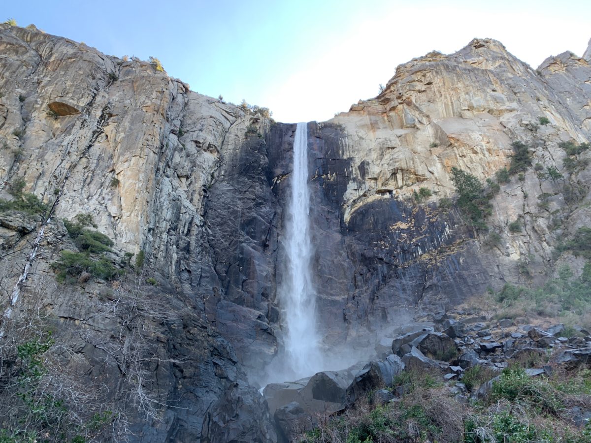
Bridalveil Fall in March
Final Thoughts: Hiking The Bridalveil Fall Trail (Yosemite National Park, CA)
After the jaw-dropping views from Tunnel View, Bridalveil fall is a great and immersive introduction to Yosemite Valley.
The trail is short, easy, and comes with a very impressive, “up-close” view of the waterfall from the Vista Point. Did I mention the parking is usually easy here as well?
This relaxing 30-minute hike is perfect for people of all ages and abilities and is absolutely worth a stop.
Cheers!