
Editor’s Note: This post is part my series on Las Vegas hikes. For more posts on all things Las Vegas, click here.
Thus far, my “Non-Vegas Vegas Roadtrip” has turned up some surprisingly awesome places to visit – places I never considered previously, including the Spring Mountains NRA, the Calico Ghost Town, the Seven Magic Mountains, and the Neon Museum.
The Red Rock Canyon National Conservation Area (NCA) would be no exception to this; in fact, Red Rock Canyon would be one of the crown jewels of the Las Vegas area.
Visiting The Red Rock Canyon National Conservation Area:
About Red Rock Canyon National Conservation Area
Red Rock Canyon National Conservation Area is part of the US public lands system managed by the Bureau of Land Management (BLM). It is a very popular place to visit – 2 million people visit every year – and that number is only growing.
The Conservation Area is home to over 600 species of plants and counts Burros, Desert Bighorn Sheep, and Desert Tortoises among its most notable year-round residents.
(The video above is courtesy of www.redrockcanyonlv.org)
Getting There
Red Rock Canyon NCA is located 26 miles due west of Las Vegas, Nevada.
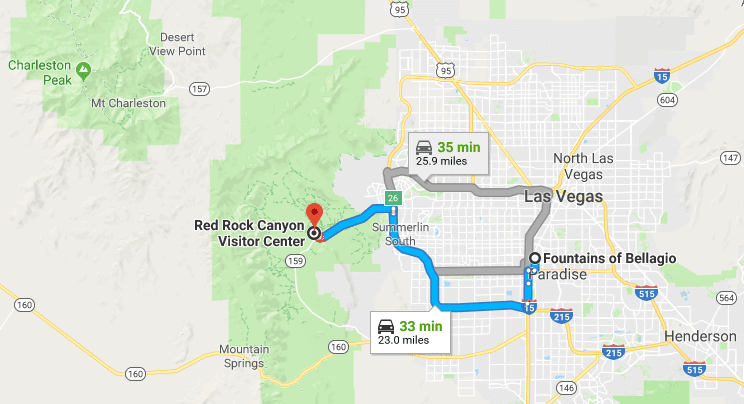
The drive is about a 30 minutes to the visitor center.
The Park Entrance
Because this place is so popular, your best bet is to get to the park early (especially on the weekend), as the park fills up fast and it’s not uncommon for Park Rangers to close the park entrance due to visitors at maximum capacity (it happened to me).
Even if you get there on time, expect to wait in long car lines (think National Parks in the summer). Did I mention this place is popular?

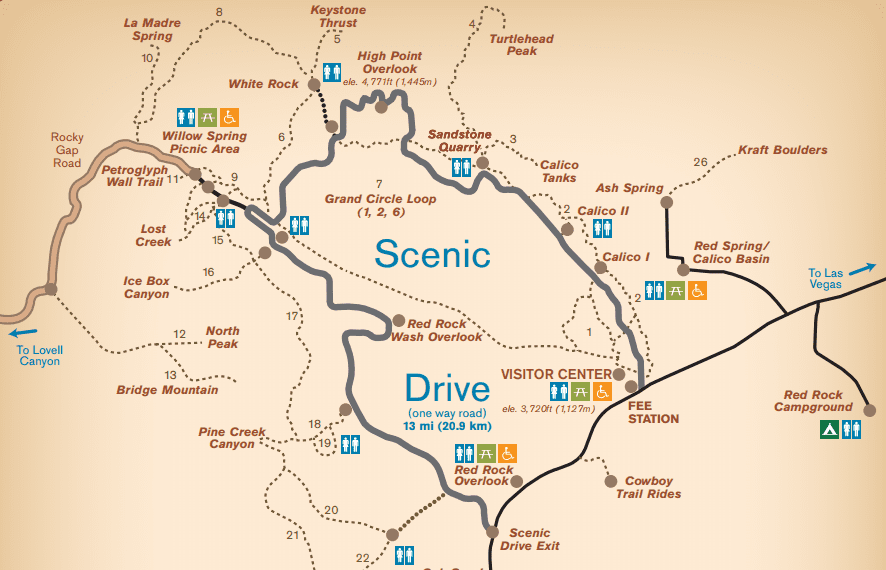
The Red Rock Canyon National Conservation Area Park Map
The park is laid out in one large 13 mile loop. Most trailheads, view points, and points of interest are found on this loop.
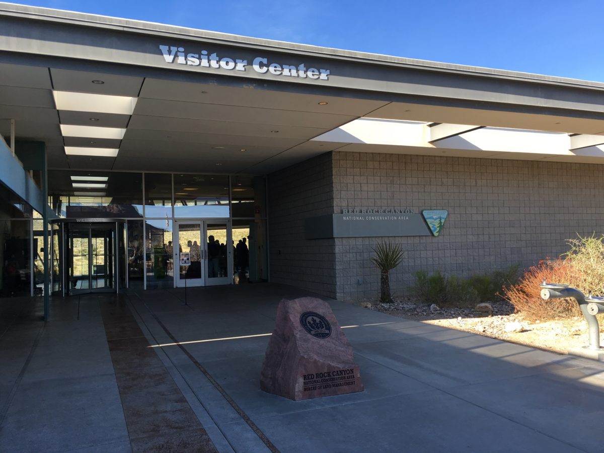
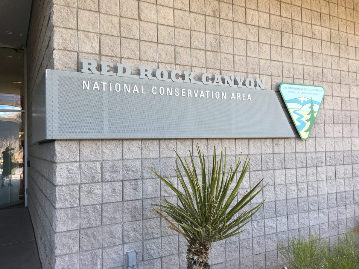
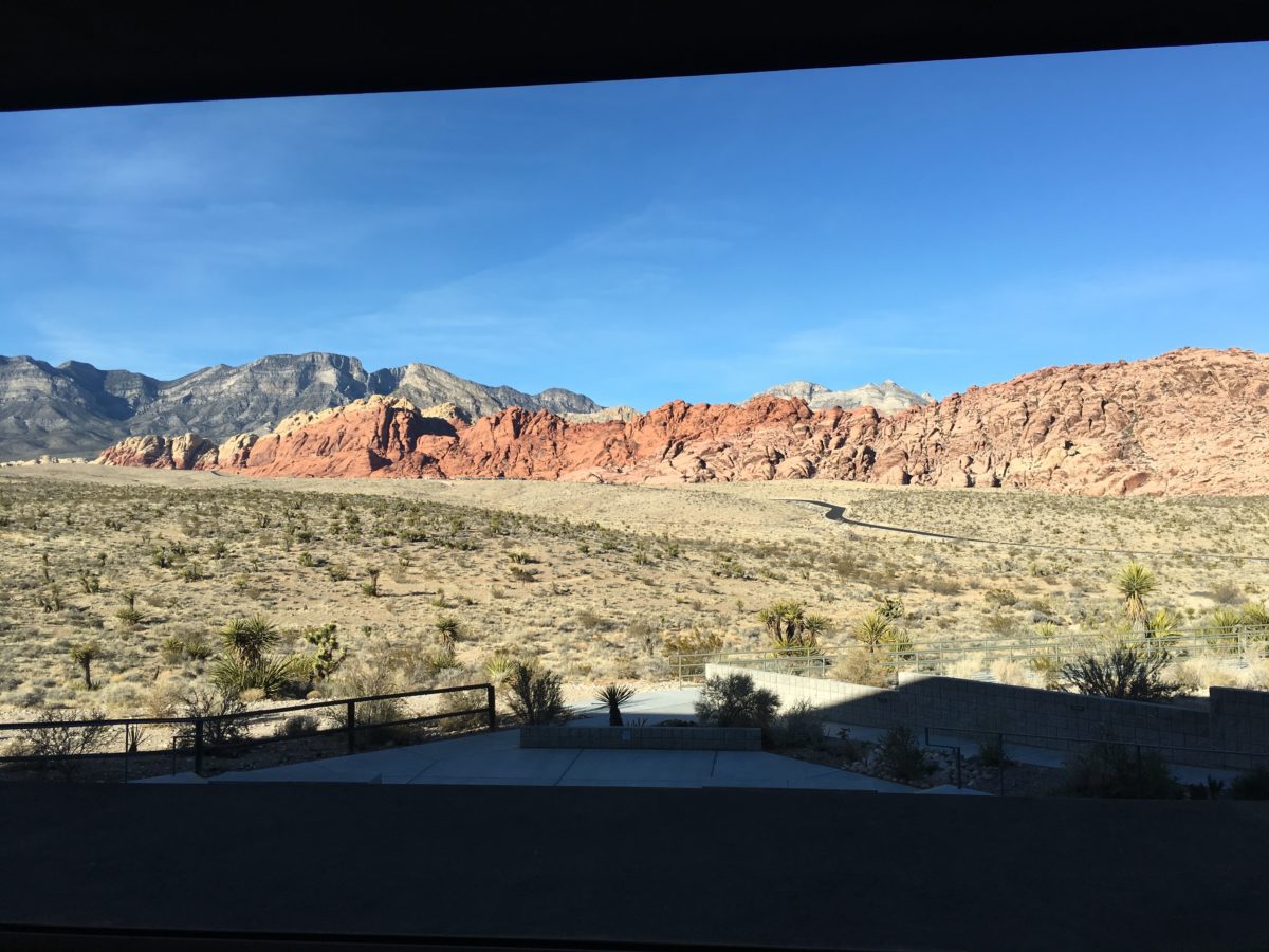
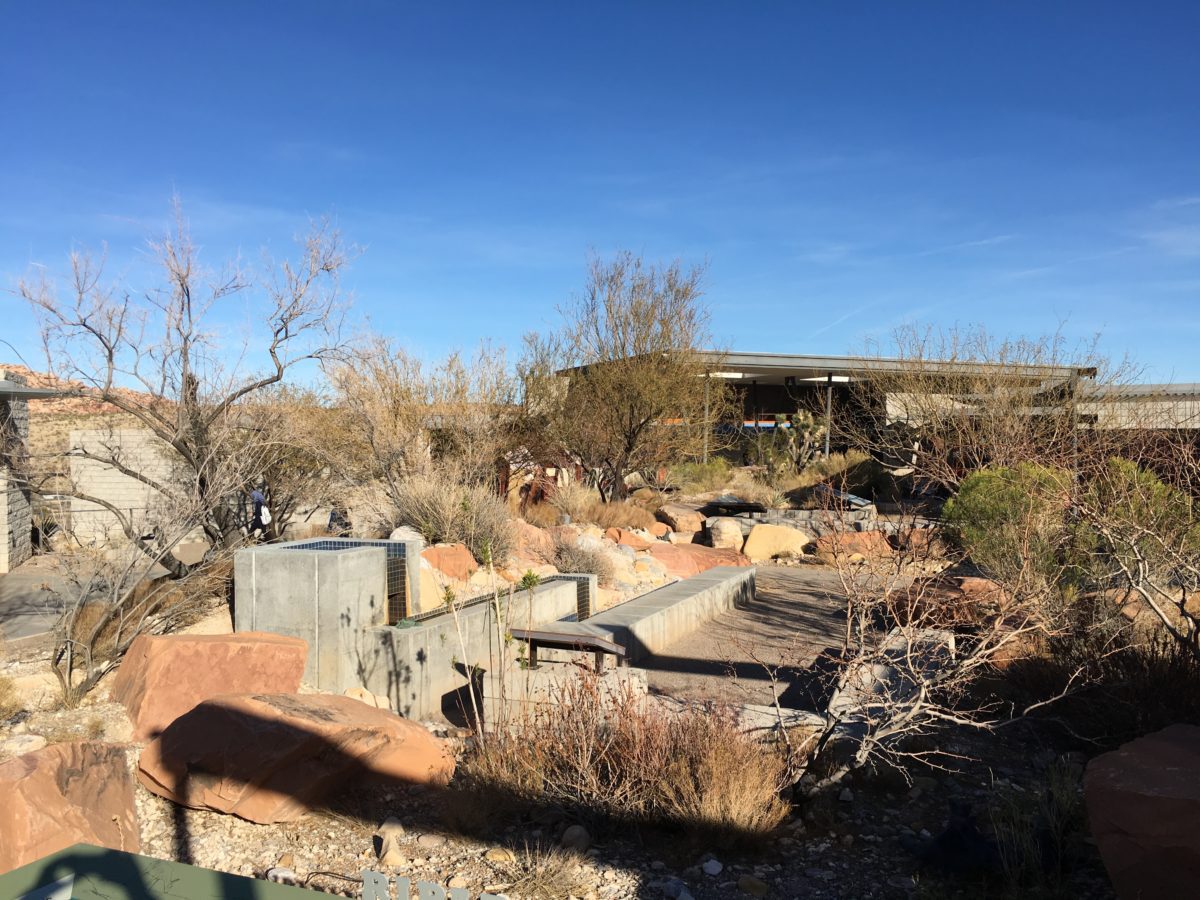
The Visitor Center
Located just through the park entrance, Red Rock Canyon’s visitor center is large and and interesting and worth a visit. There is also a picnic area adjacent to visitor center.
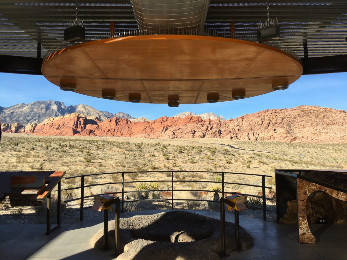
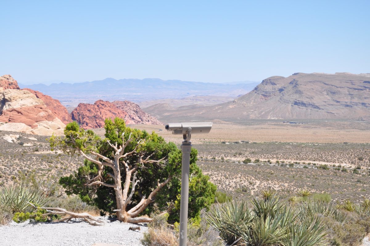
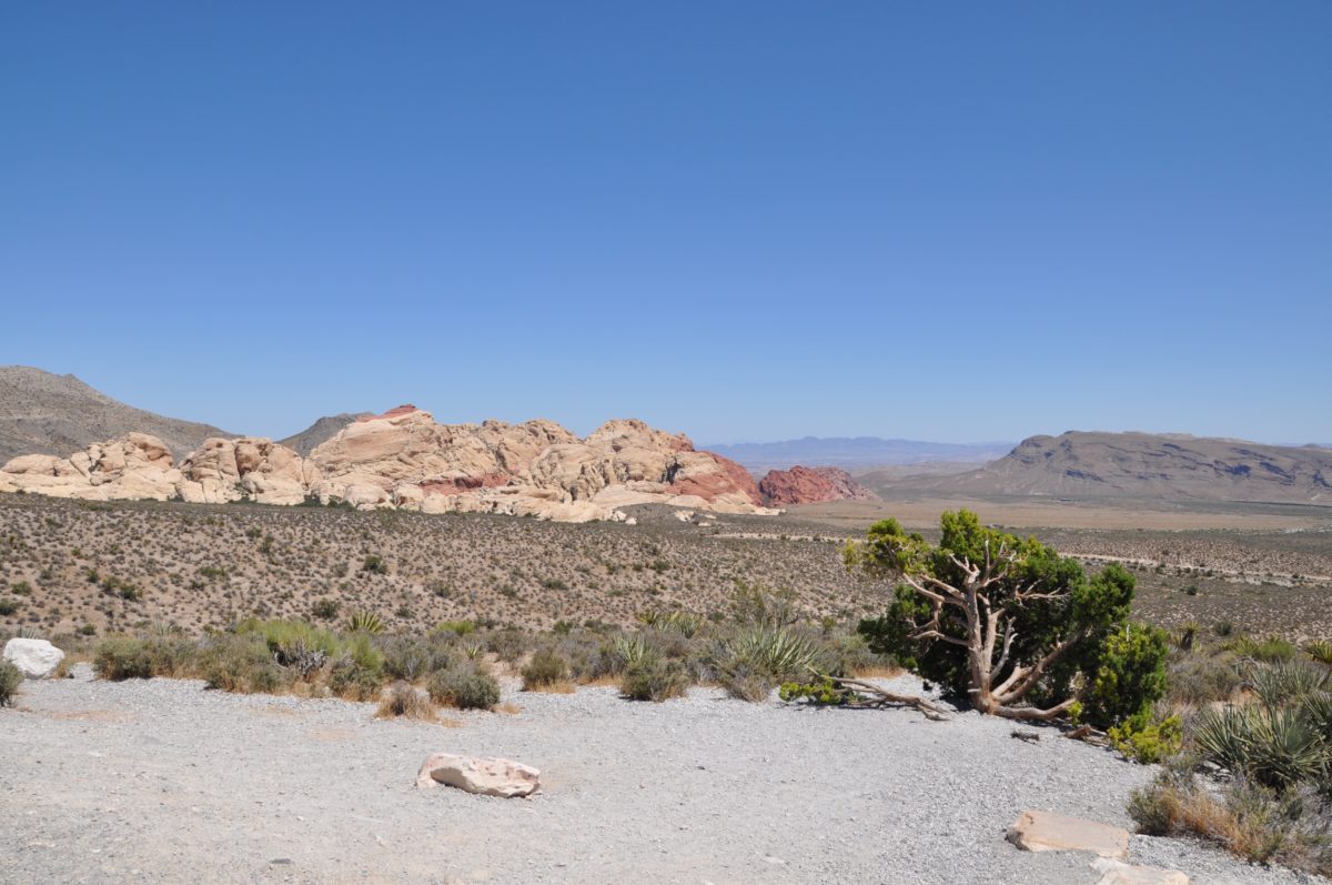
View of the Calico Hills
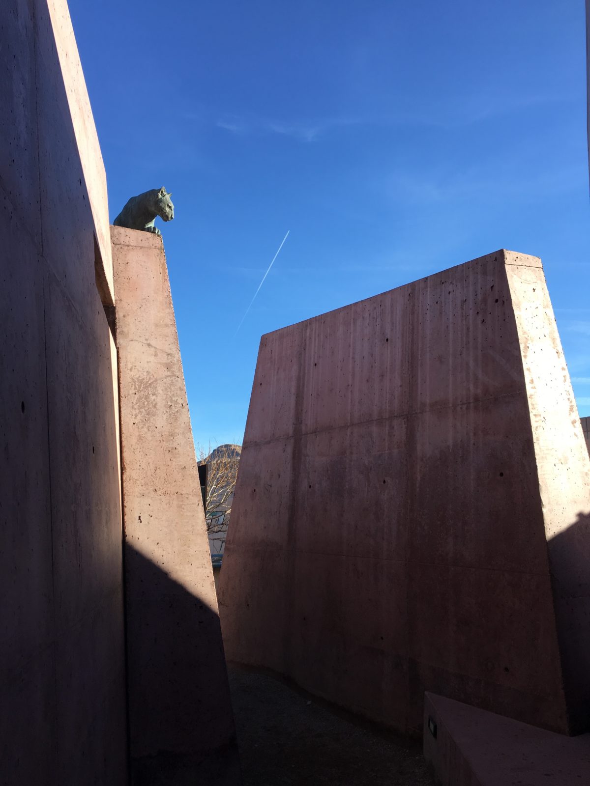

This guy guards the visitor center
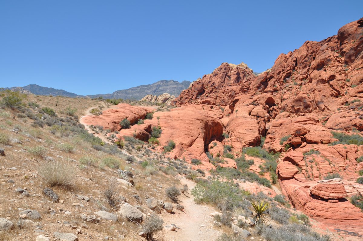
Hiking The Calico Hills Trails (Calico I & II Trails) From The Visitor Center
From the visitor center it’s possible to pickup the trailhead to the popular Calico Hills hikes (Calico I & Calico II). Likewise, you can also choose to drive to either trailhead.
The Calico Hills trails are also the first legs of the Grand Circle Loop hike if you were to continue on. You could also connect to the popular Calico Tanks trail from the Sandstone Quarry area.
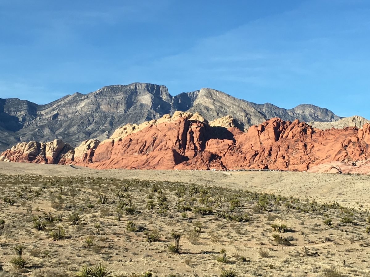
The Calico Hills
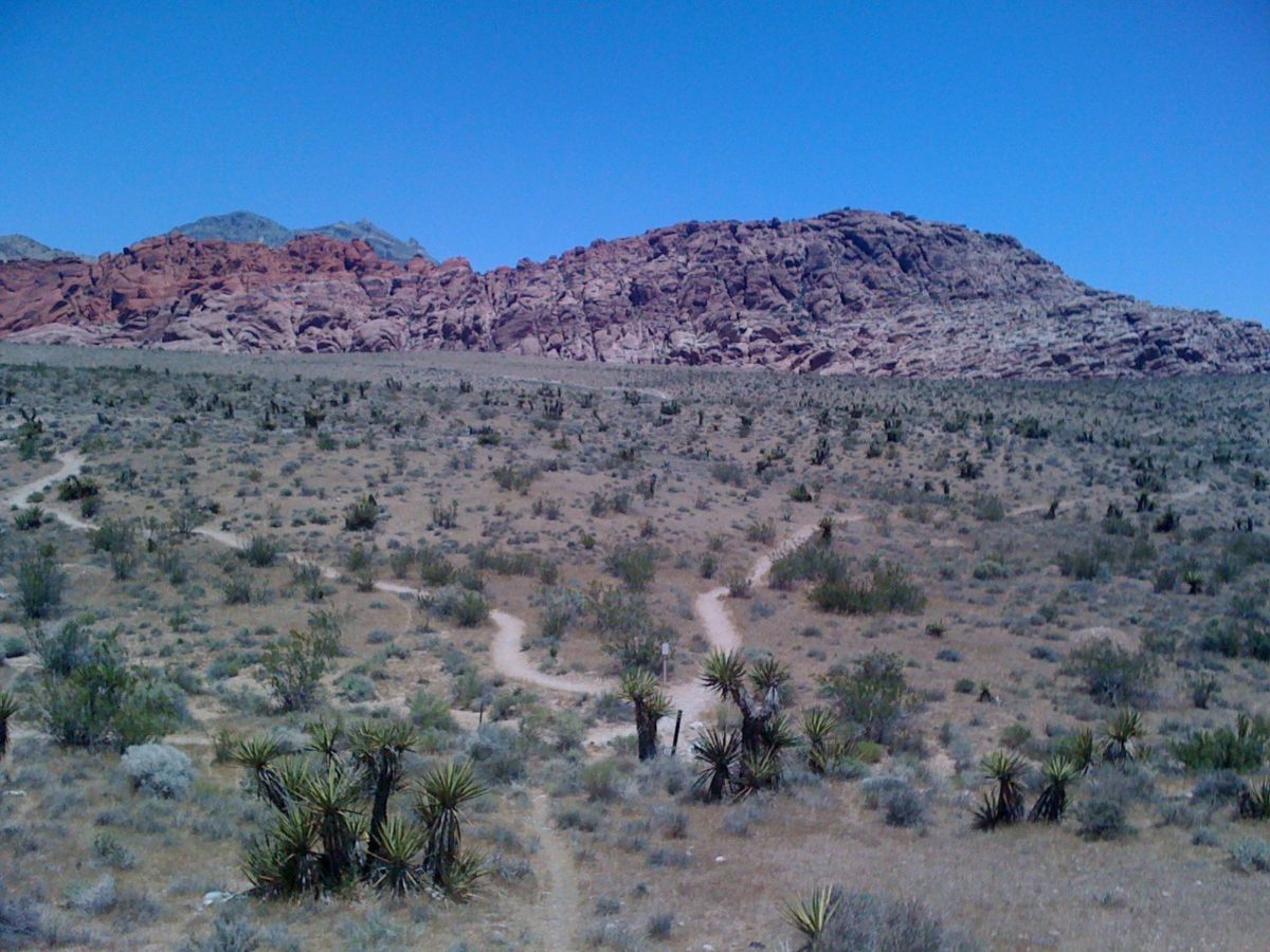
Trails from the visitor center
Trail Difficulty And Distance
Combining Calico trails I & II will give you a distance of 6 miles and take you about 3 and a half hours.
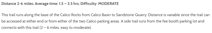
The Calico Hills trails are well marked and heavily trafficked. The best times to hike these trails are early in the morning or late afternoon, preferably in the non-summer months.
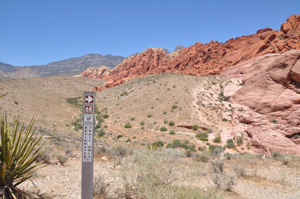
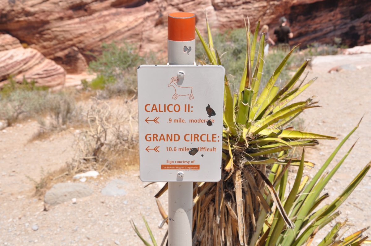
The Calico HIlls hikes can be combined into the Grand Circle trail
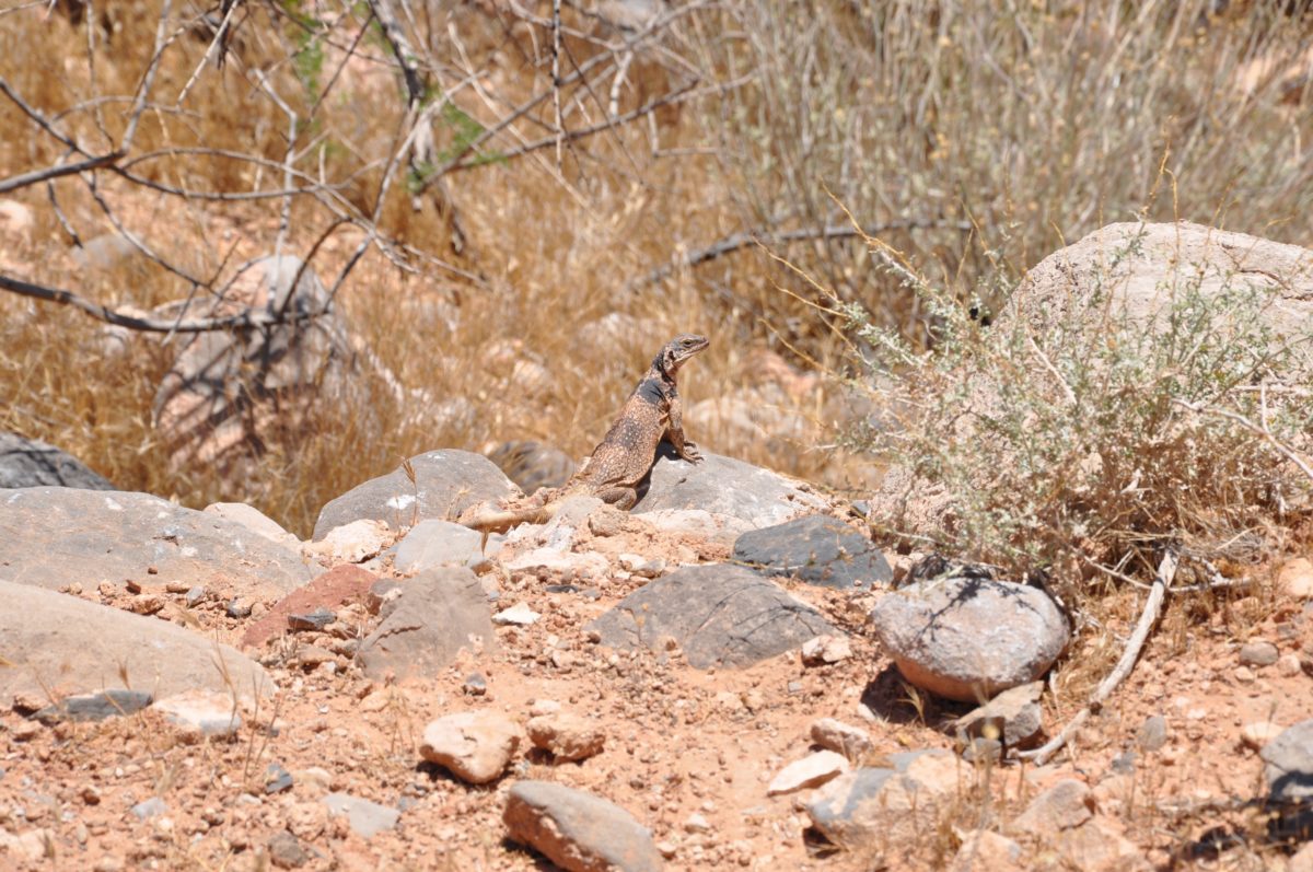
A very large Chuckwalla lizard
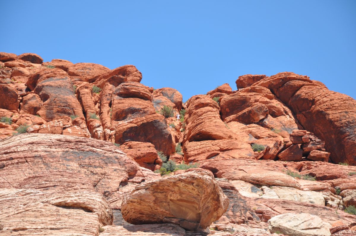
People making their own trails exploring the red rocks
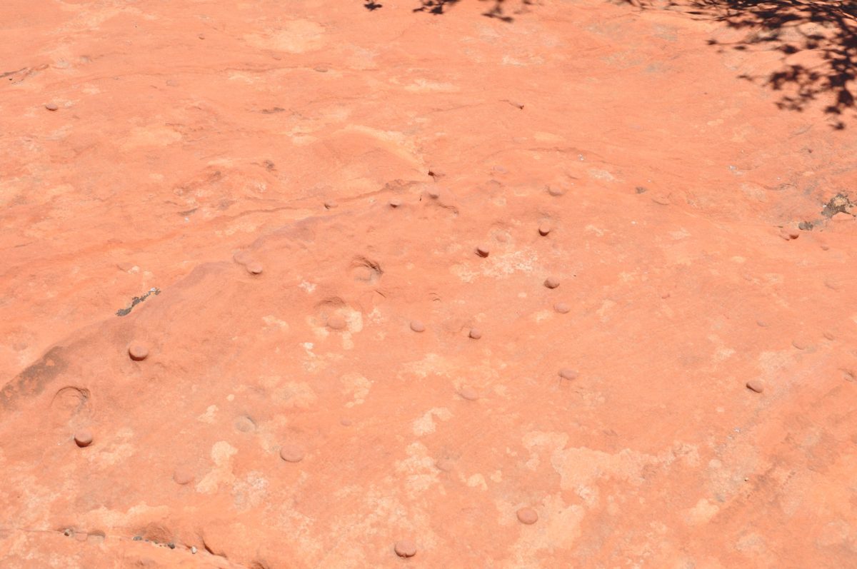
Strange round buttons on the rocks
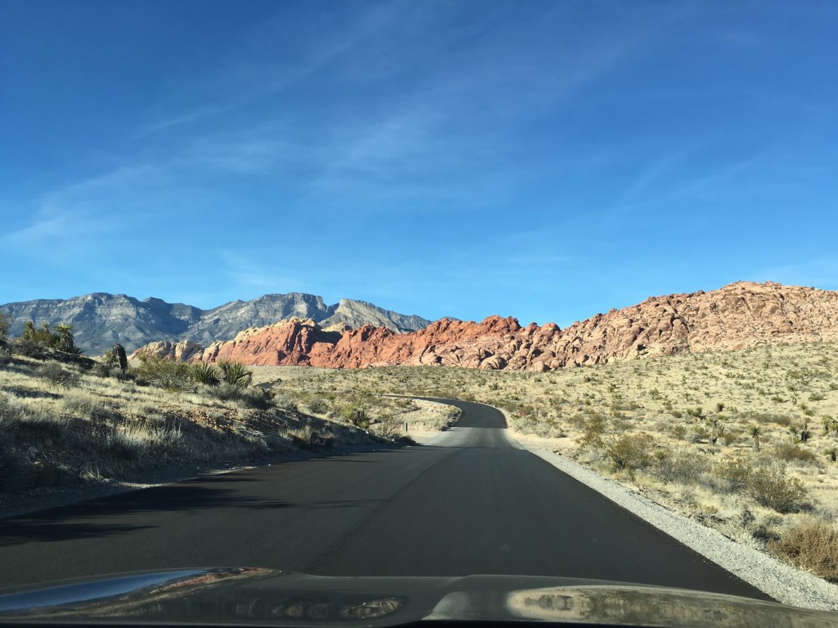
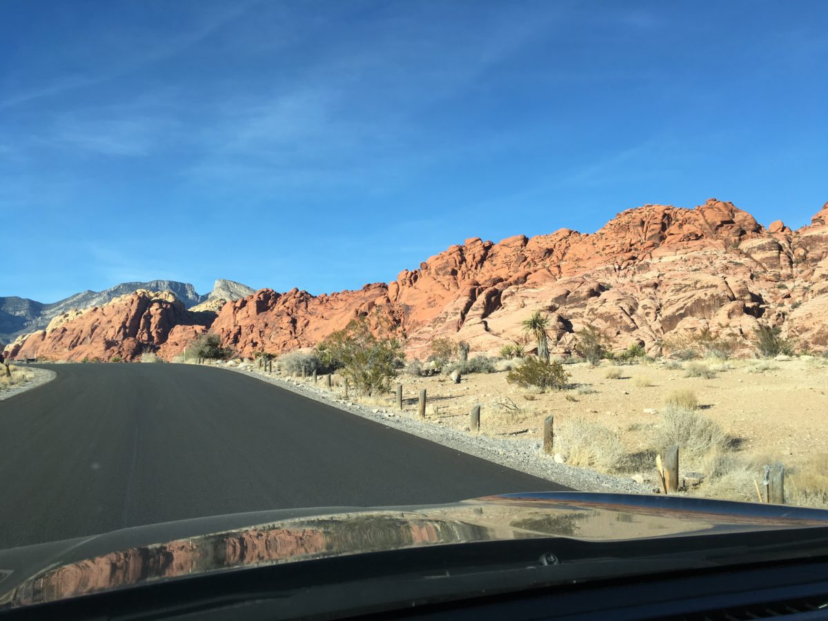
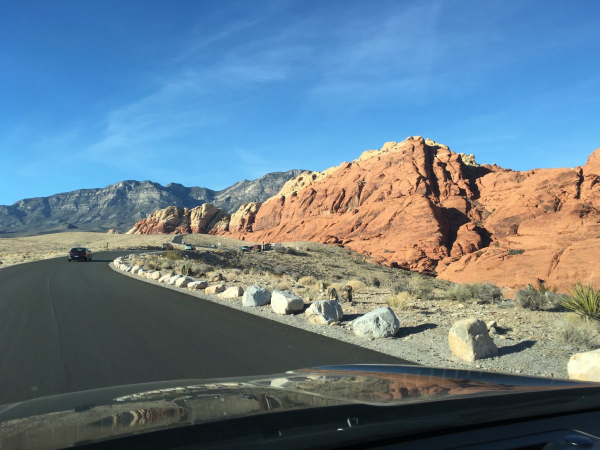
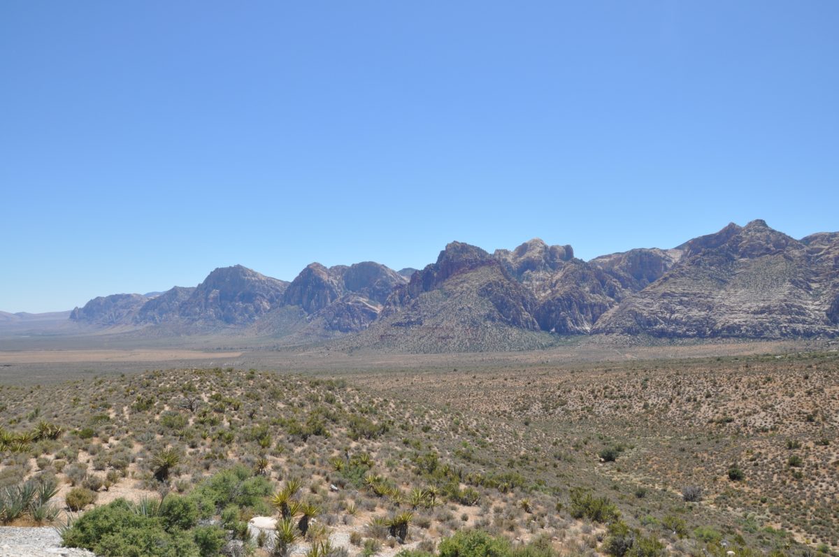
Driving The 13 Mile Scenic Loop

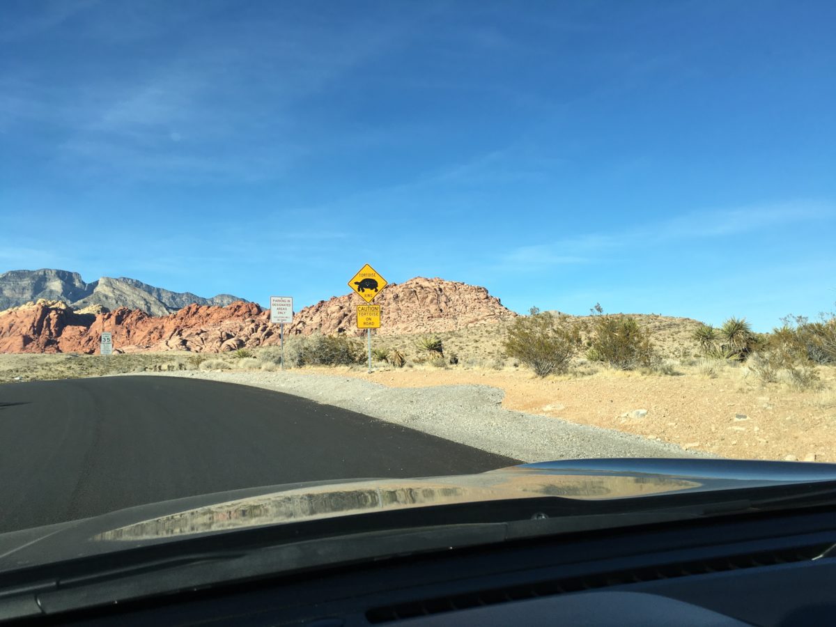
Tortoise crossing
Final Thoughts: Visiting The Red Rock Canyon National Conservation Area
The Red Rock Canyon National Conservation Area is truly one of the great must-see attractions in Las Vegas. Between the wildlife, hiking trails, and scenic drive, there is something for everybody.
With all the different activities, you can easily spend several days here. In fact, there is a campground there. However, if you can only make a half-day out of it, that’s enough time to check out the visitor center, perhaps do a hike, and drive the scenic roadway.
Cheers!