
At just 5.9 miles, day 3 on the Trans-Catalina was supposed to be our “easy” day.
As such, we slept in a bit, before hitting the showers and then grabbing some proper breakfast and coffee at Two Harbors.
By around 9:00 am we were ready to continue our journey on the TCT.
Hiking The Trans-Catalina Trail (TCT): Part 3 – Two Harbors To Little Harbor Campground (Catalina Island, CA)
As a refresher, here was our planned 5 day itinerary:
- Day 1: Two Harbors to Parsons Landing Campground [7.6 Miles]
- Day 2: Parsons Landing Campground to Two Harbors Campground [7.2 Miles] (with the Starlight Beach spur trail [9.2 Miles])
- Day 3: Two Harbors Campground to Little Harbor Campground [5.9 Miles]
- Day 4: Little Harbor Campground to Black Jack Campground [9.7 Miles]
- Day 5: Black Jack Campground to Avalon [11.7 Miles]
Day 3: Two Harbors To Little Harbor Campground
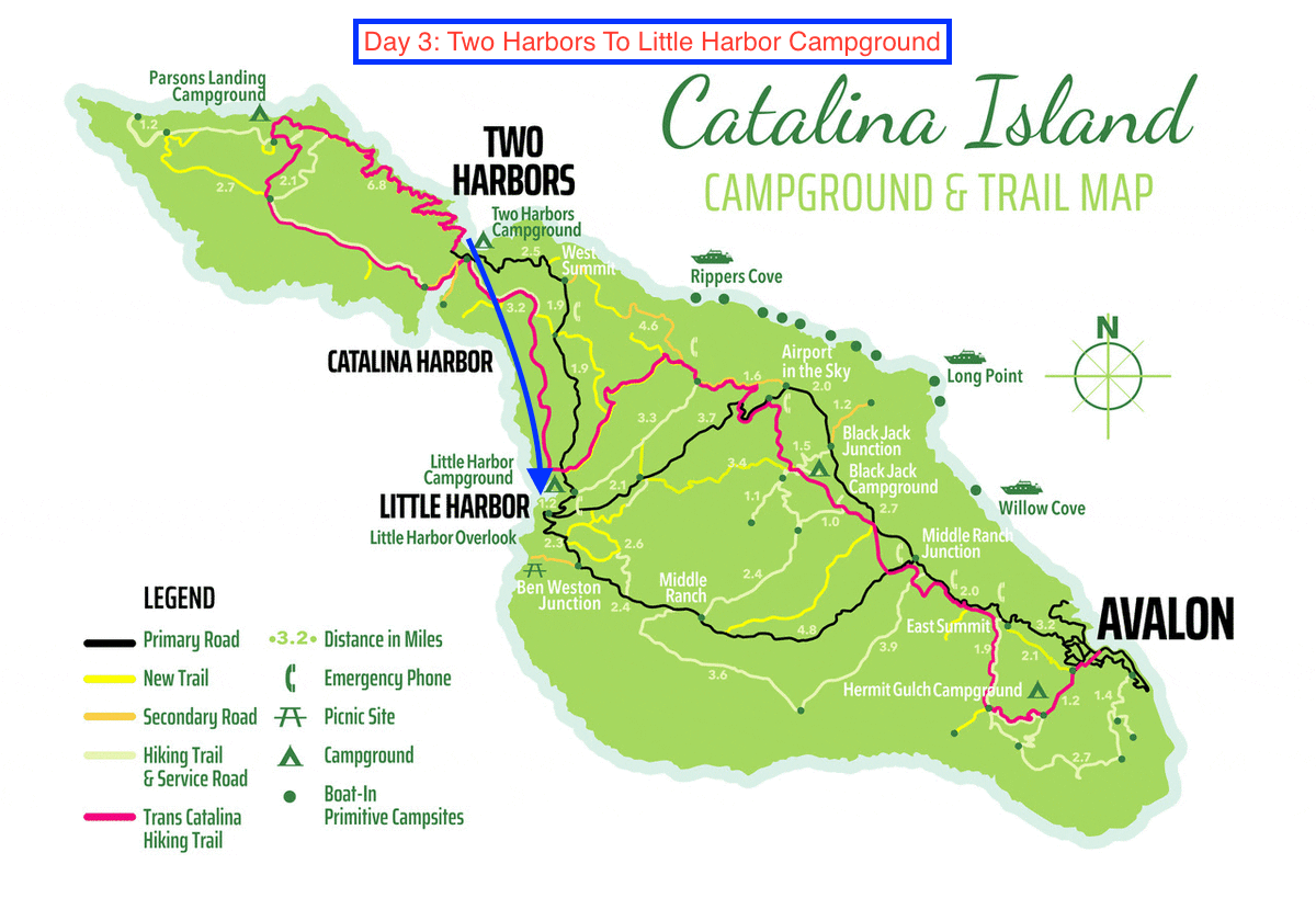
The blue arrow marks the trail from Two Harbors to Little Harbor Campground (original image courtesy of catalinachamber.com)
Section 1: Two Harbors Campground To Cat Harbor Overlook Road [1.7 Miles]
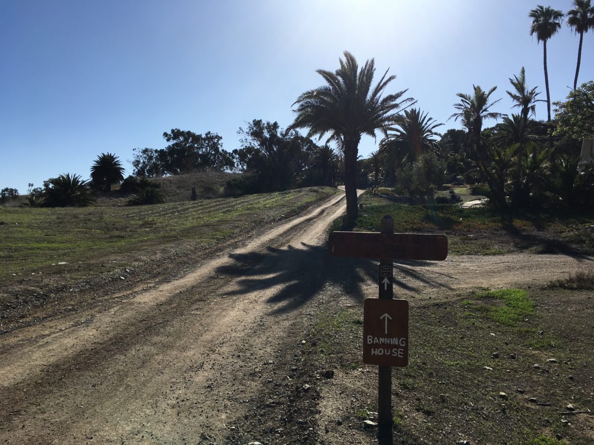
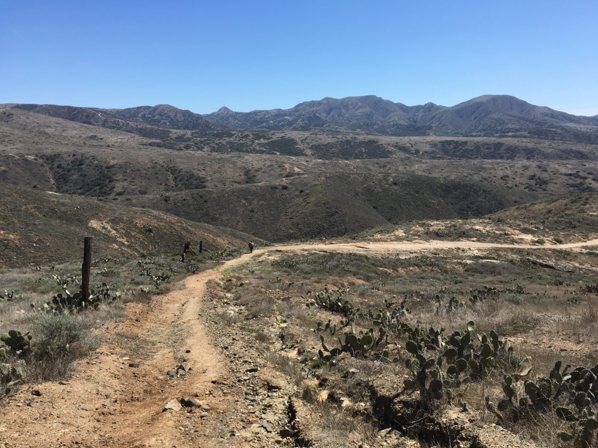
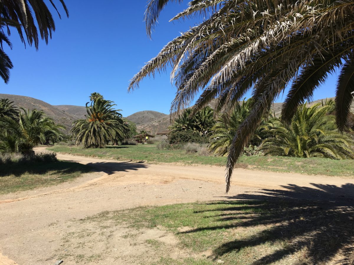
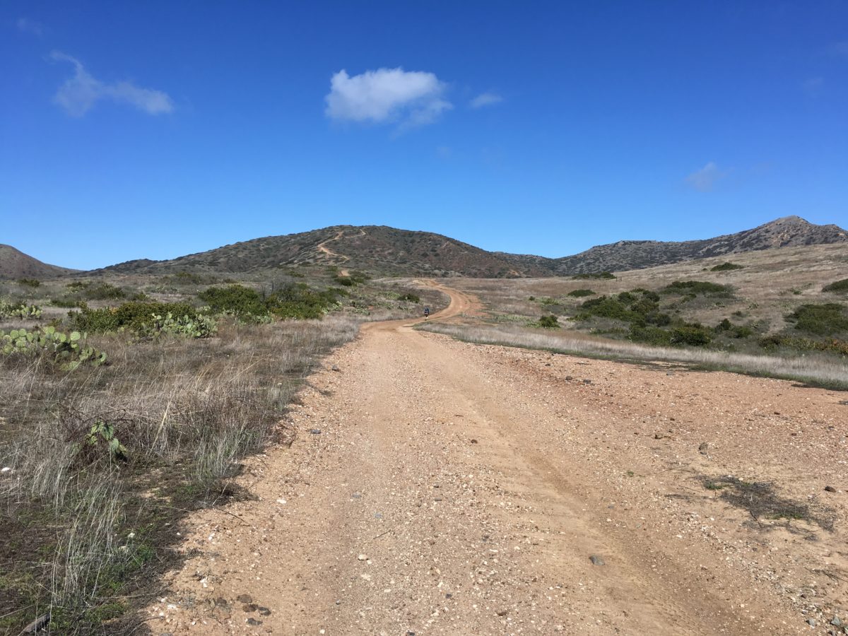
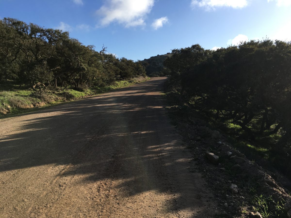
The first section of trail climbed slow and steady out of Two Harbors.
The TCT took us right past the (supposedly haunted) Banning House Lodge, so we (of course) stopped by for a peek.
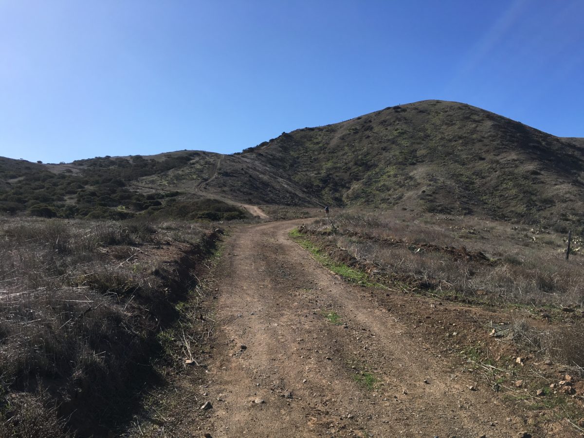
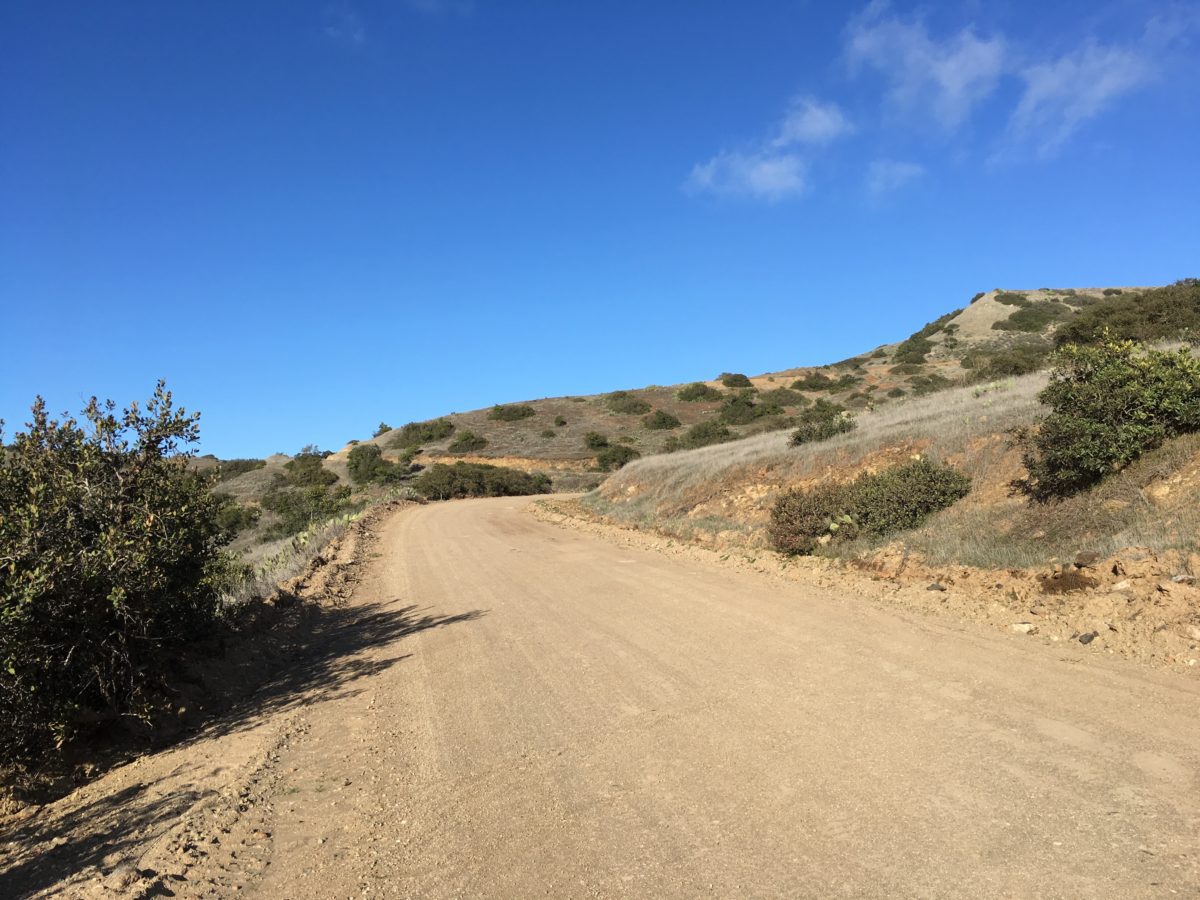
Beyond that, this dirt road section of the TCT was one of the least memorable, at least until we made it to the metal fence.
The official TCT trailhead in Two Harbors
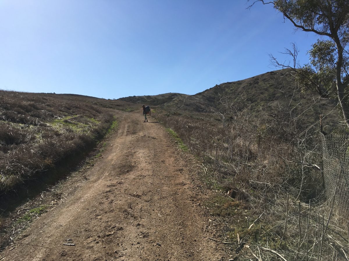
Just an ugly dirt road
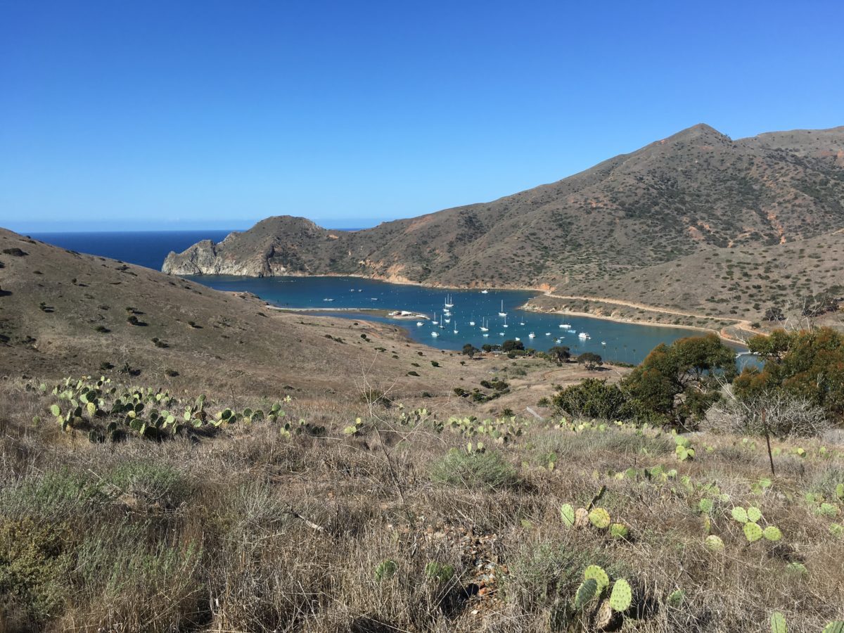
The view back toward Catalina Harbor
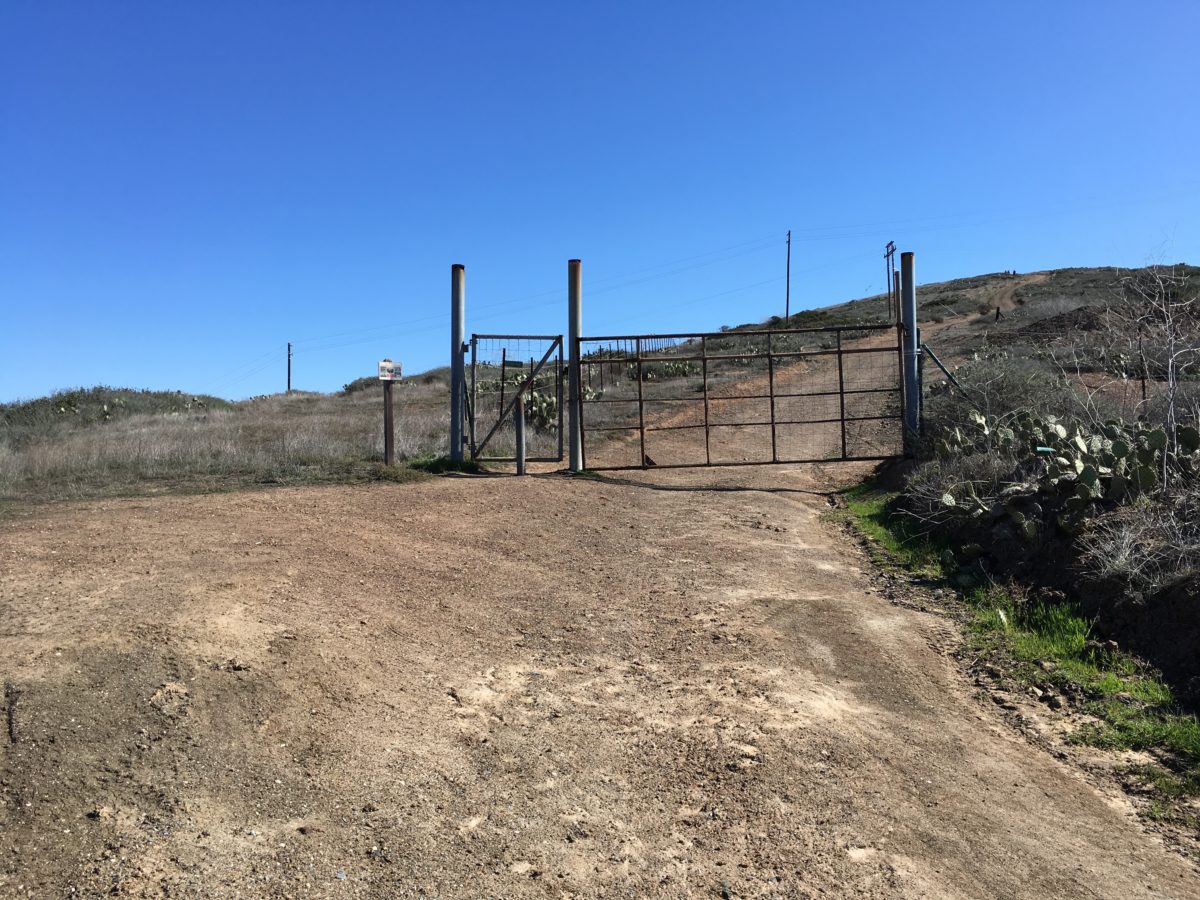
The TCT continues through the door in the fence
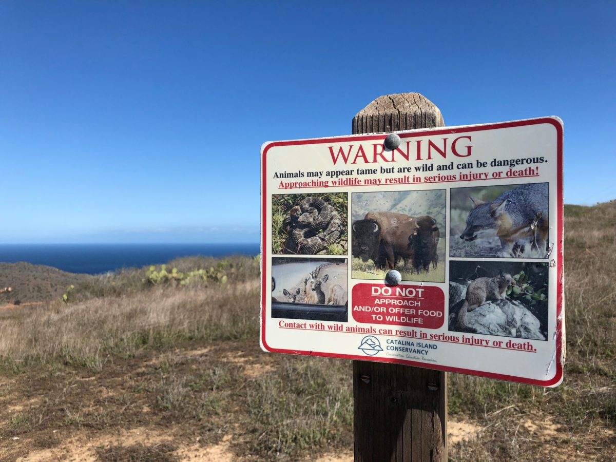
We were now in bison territory
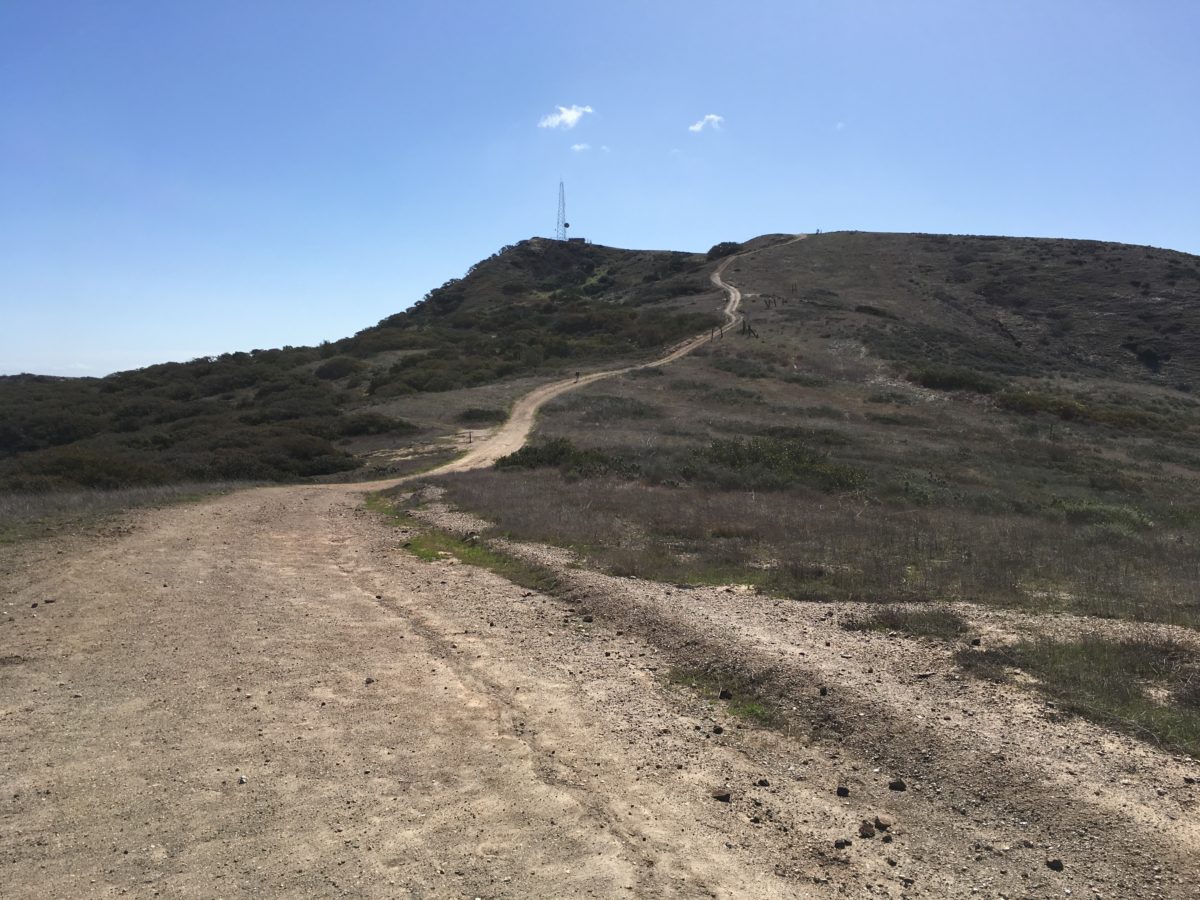
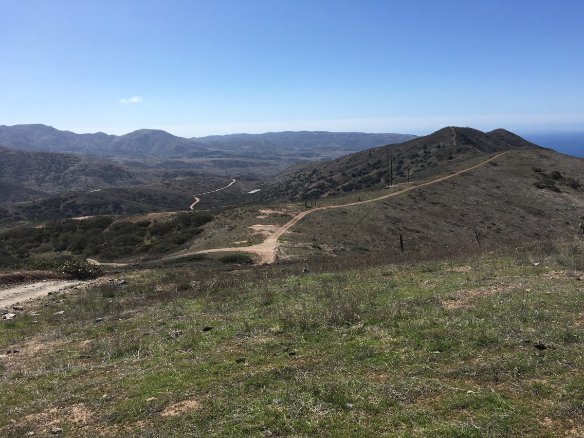
The views from the TCT vastly improved as we headed toward the radio tower
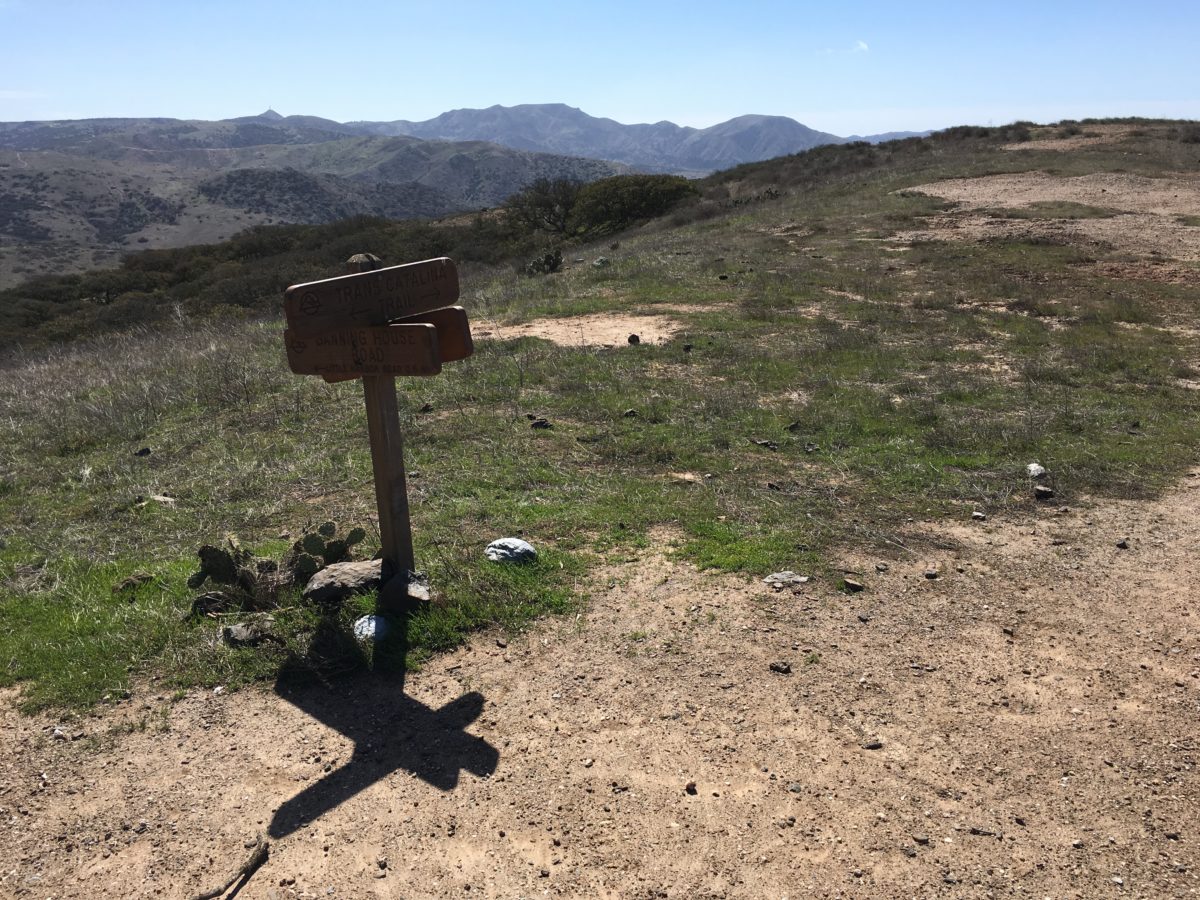
The Banning House Road Junction
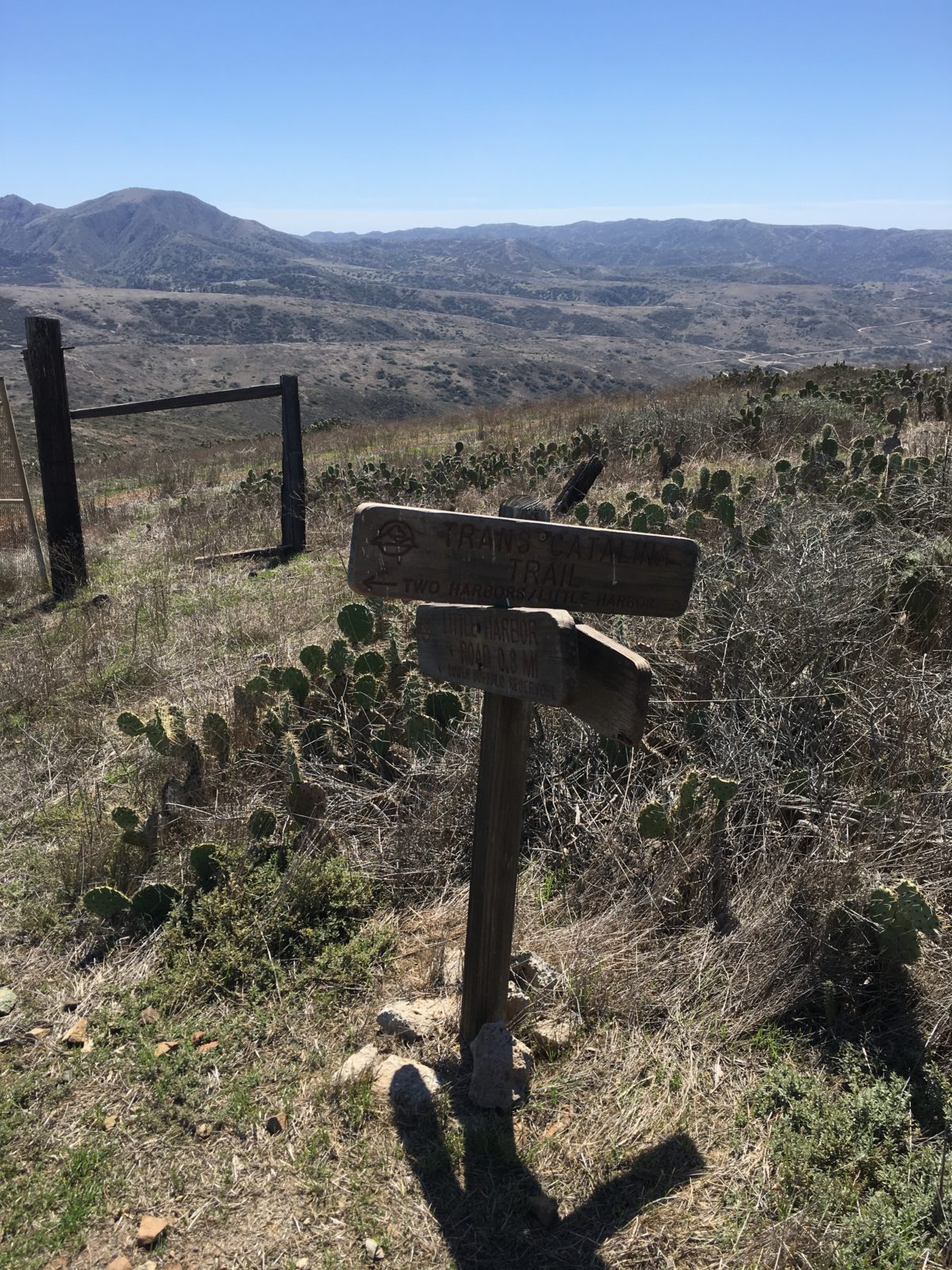
Don’t go that way, keep right right to stay on the TCT
Section 2: Banning House Road Junction To Picnic Table Overlook Junction [2.2 Miles]
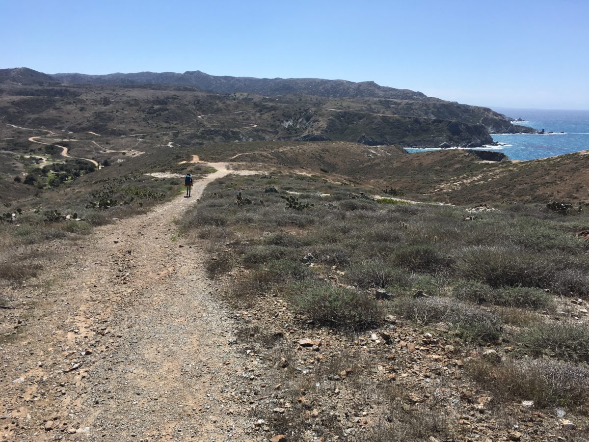
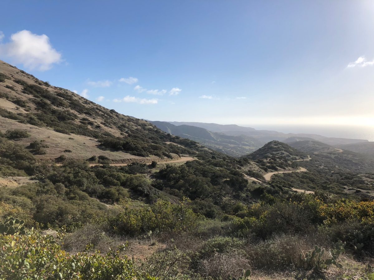
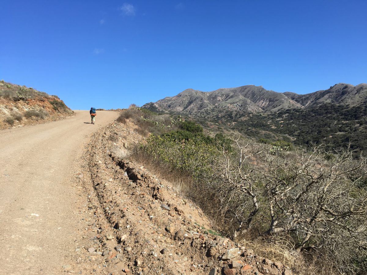
After passing the Banning House Road Junction, the views really started to pick up.
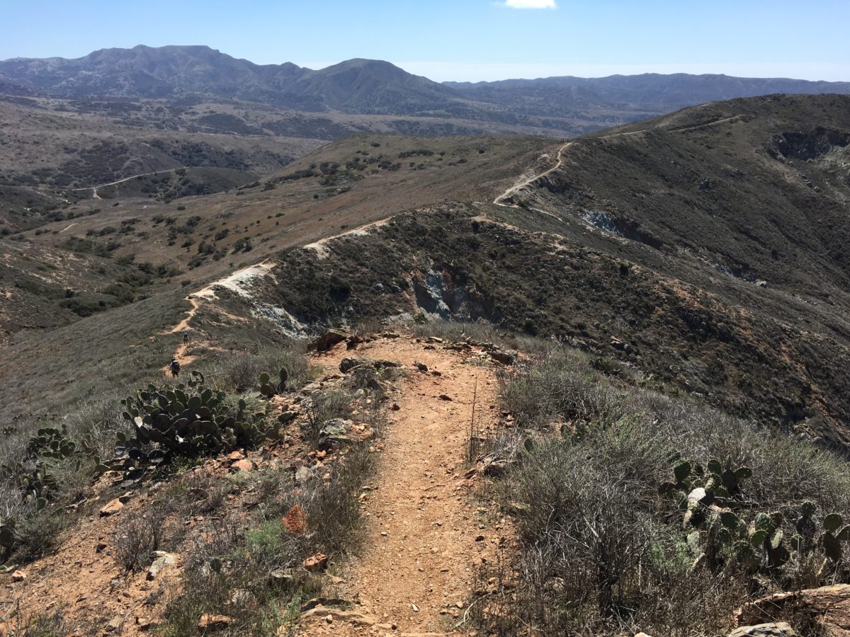
I think this section of the TCT was was my absolute favorite.
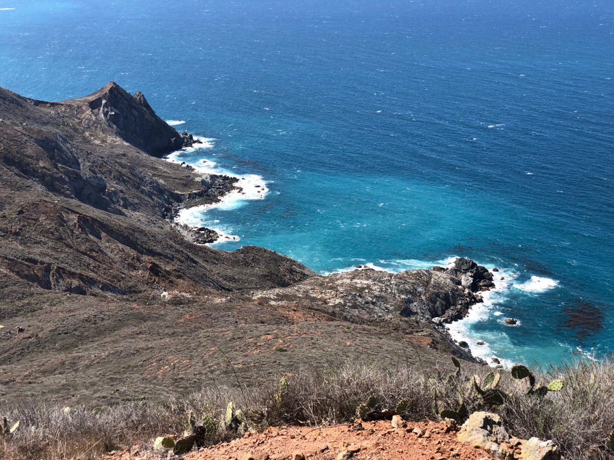
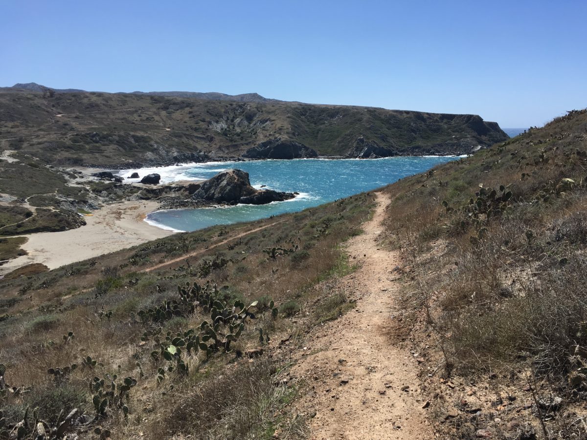
The trail narrowed and followed a thin mountain ridge until we arrived at what is probably the very best lookout point on the entire Trans-Catalina Trail.
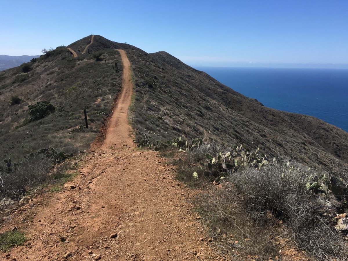
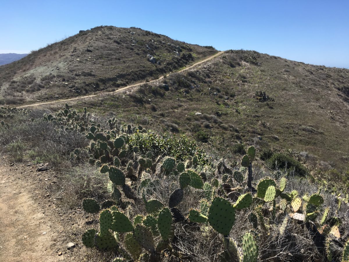
The trail narrows along this ridge
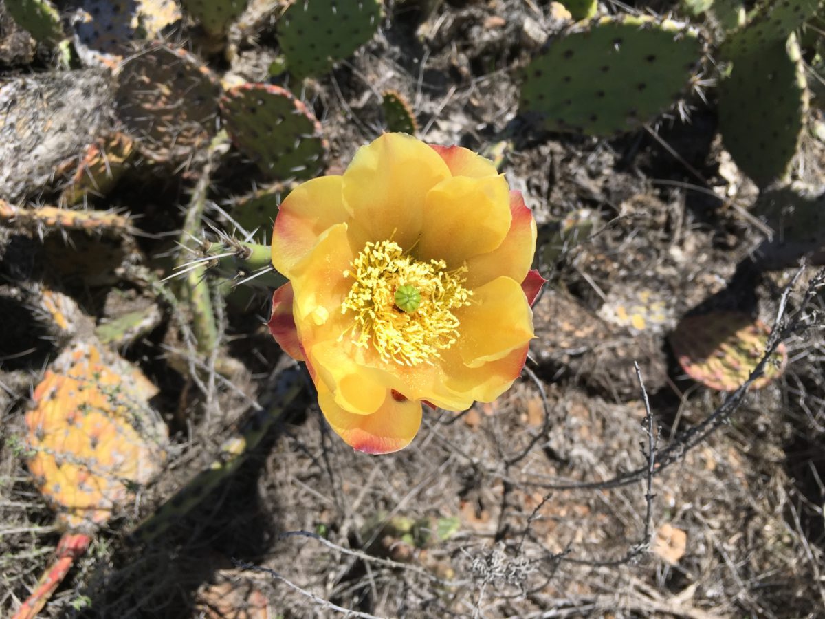
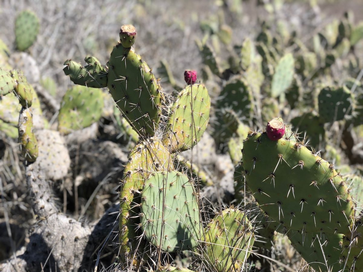
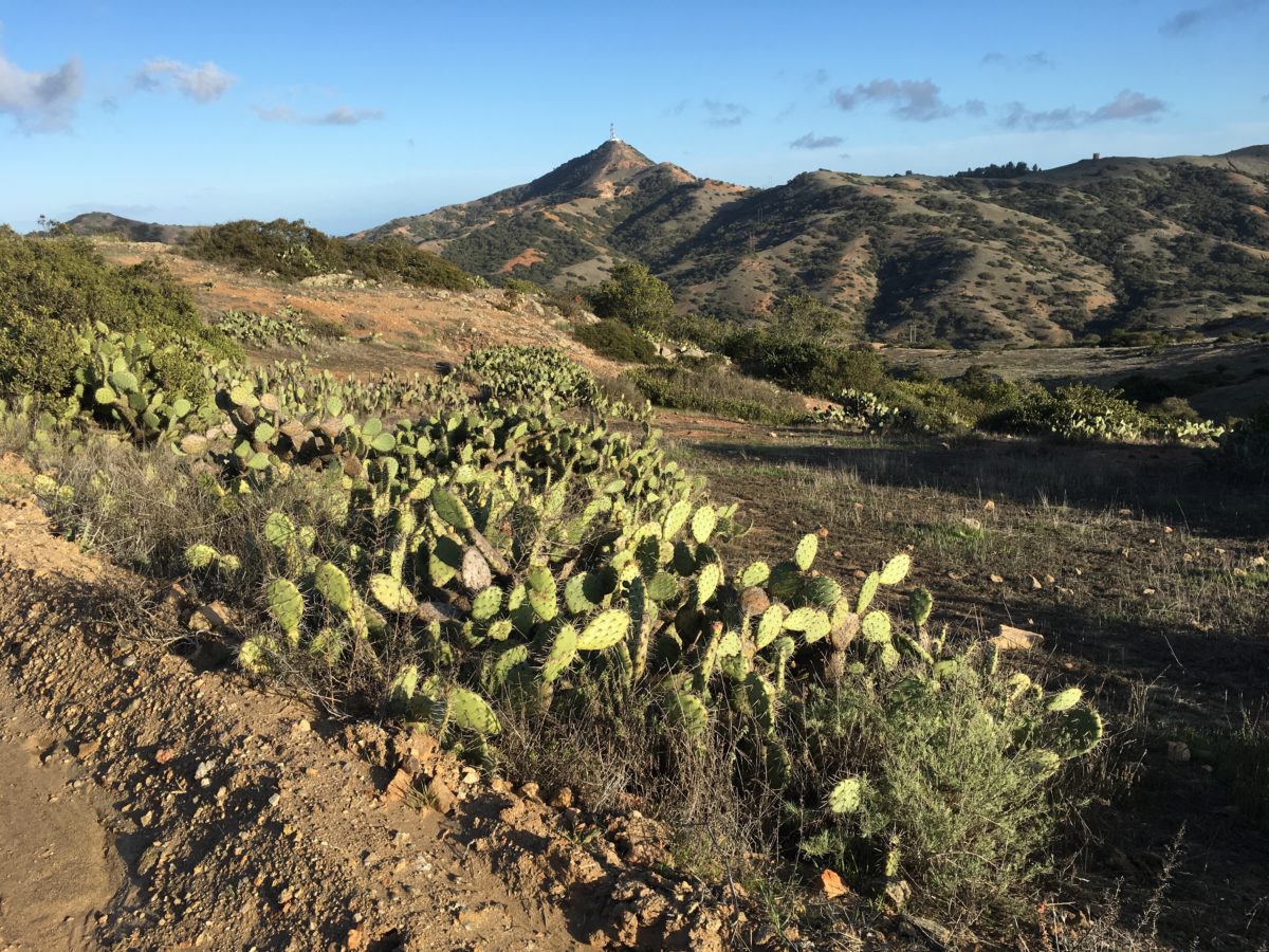
Cactus flowers in bloom
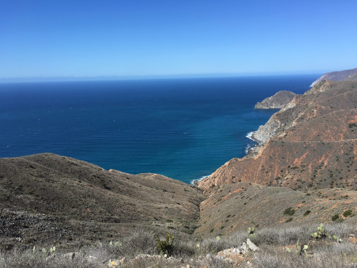
Spectacular 360-degree views
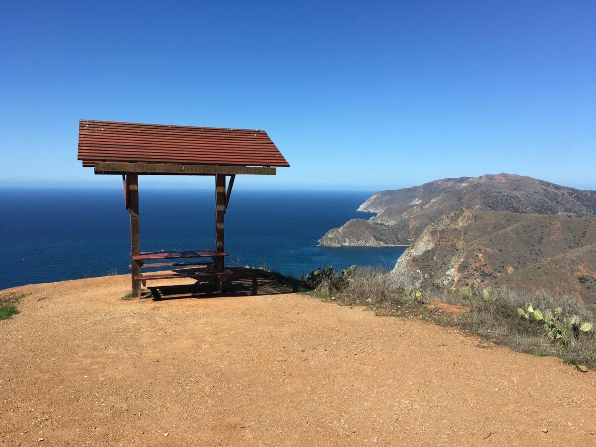
The lone picnic table on the lookout point
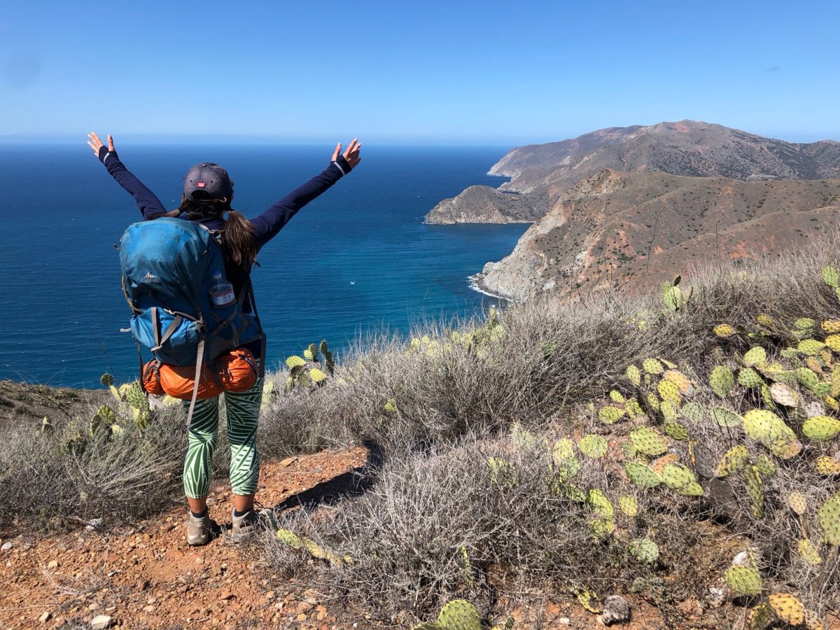
No words necessary!
This is why we hiked the TCT!
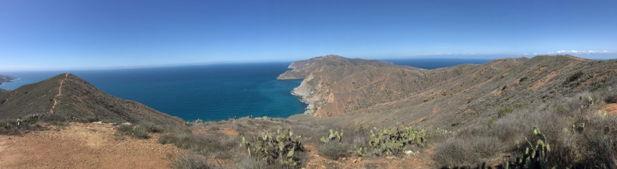
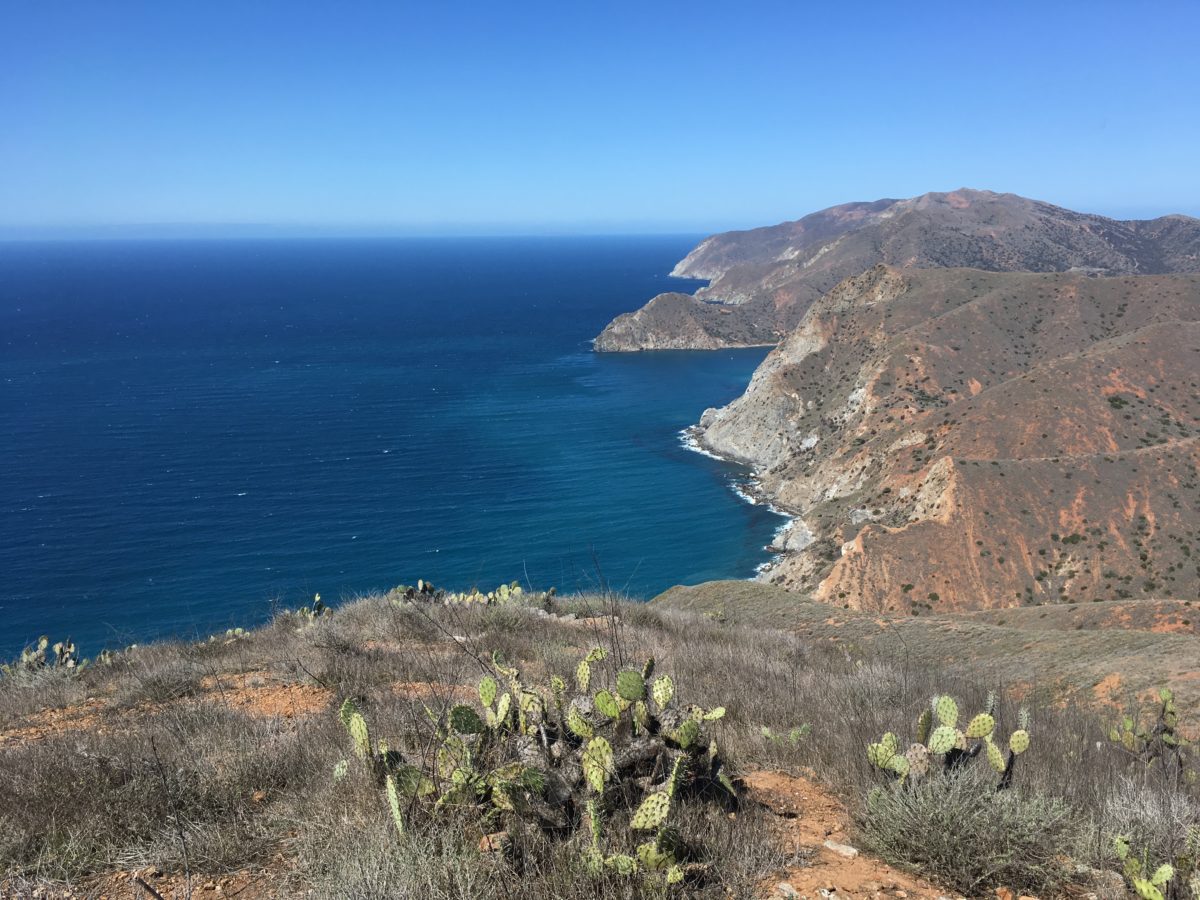
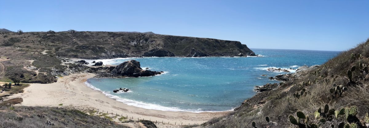
Panoramic photo from the lookout point
Section 3: Lower Jensen Hunting Road To Little Harbor Campground [2.0 Miles]
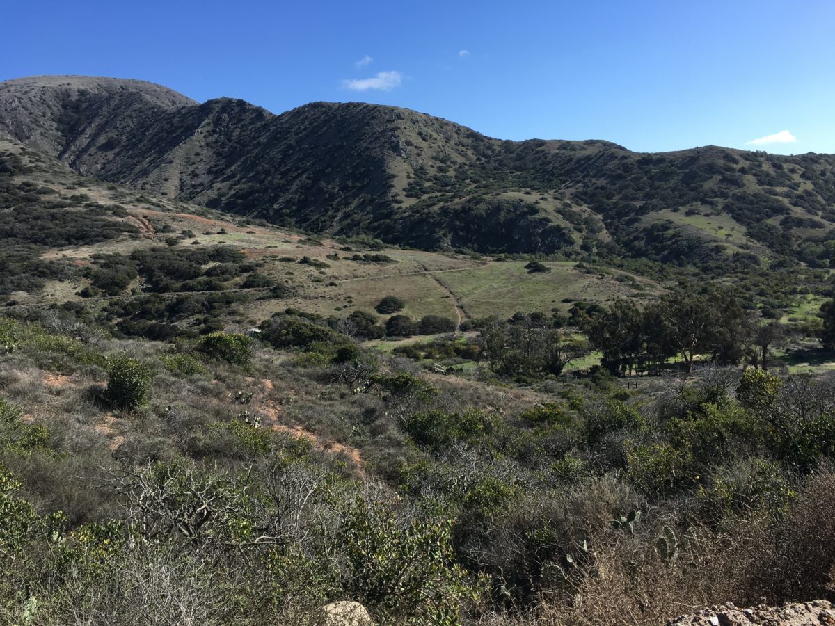
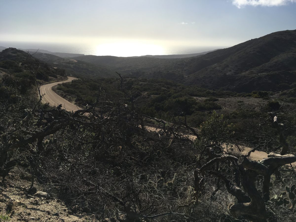
After lunch at the lookout point, we continued along the trail as it slowly (but steeply) dropped down into the Little Harbor area.
Almost all downhill from here to Little Harbor
OK, so there is a little more uphill
Pedestal Rock
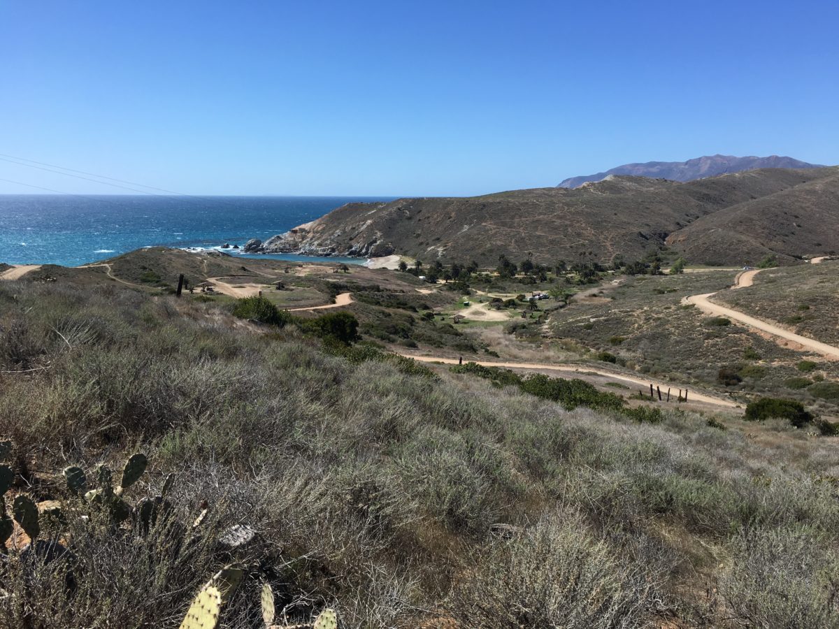
Little Harbor is straight ahead
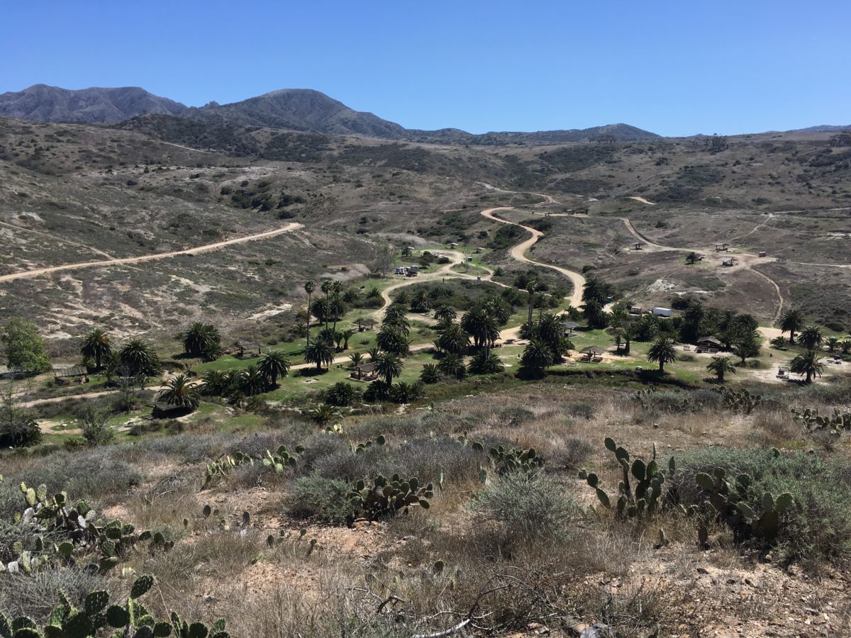
Little Harbor Campground comes into view
Little Harbor
Panoramic photo of Little Harbor
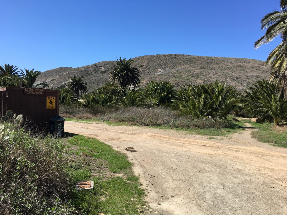
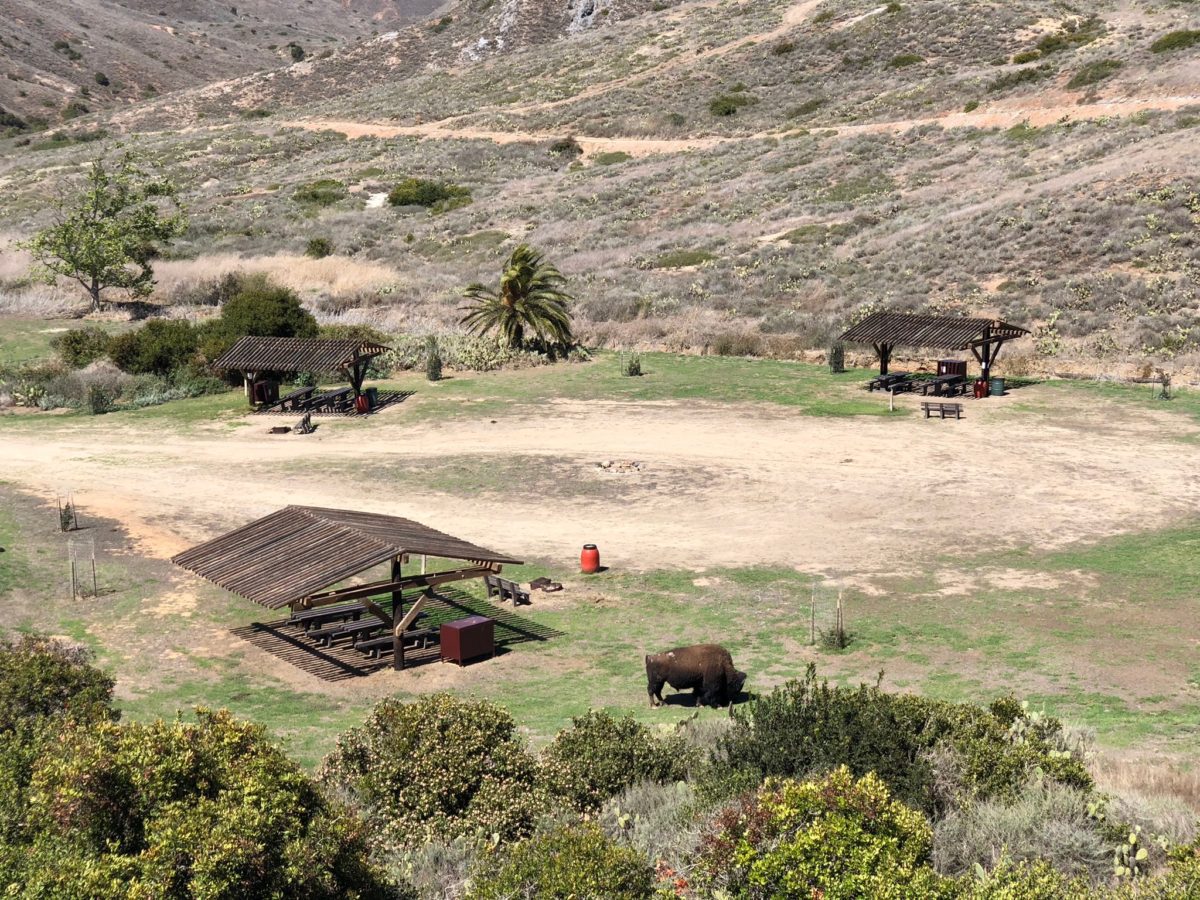
Arrival At Little Harbor Campground
We arrived to find Little Harbor Campground almost totally empty. Well, except for a couple of bison bulls roaming around.
Although our initial plan was to make camp here for the night, we made really good time and we were feeling great and strong.
It was just before noon, so we decided to grab a spot for lunch while we weighed whether to continue on to Black Jack Campground or not.
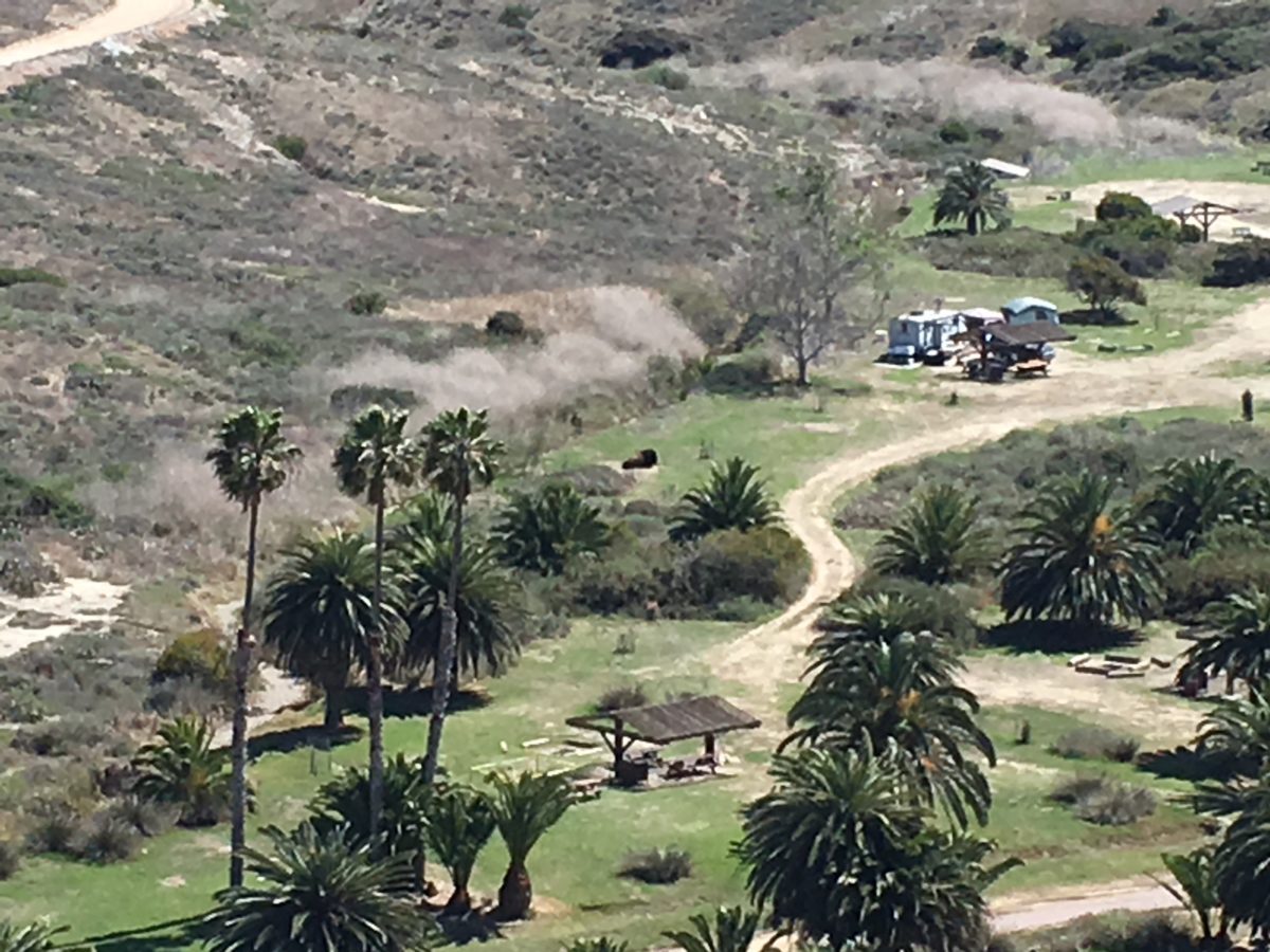
Little Harbor Campground (with a sleeping bison)
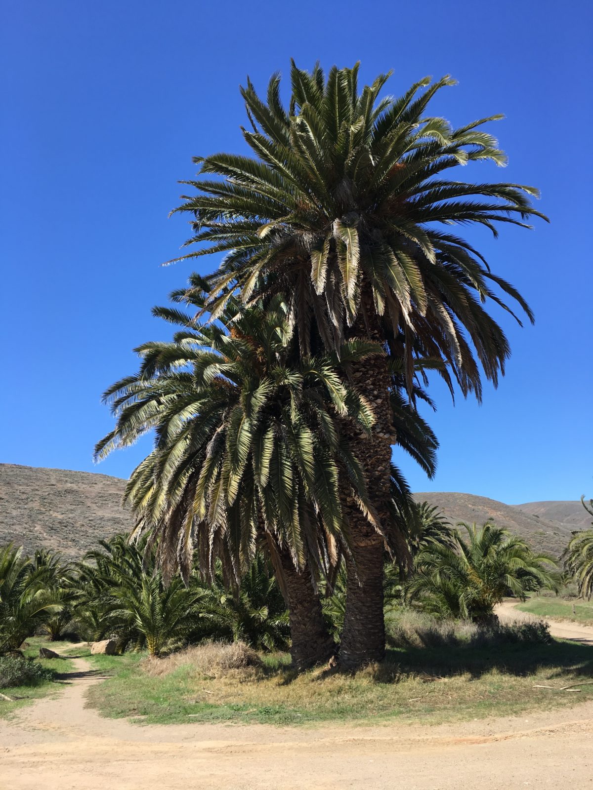
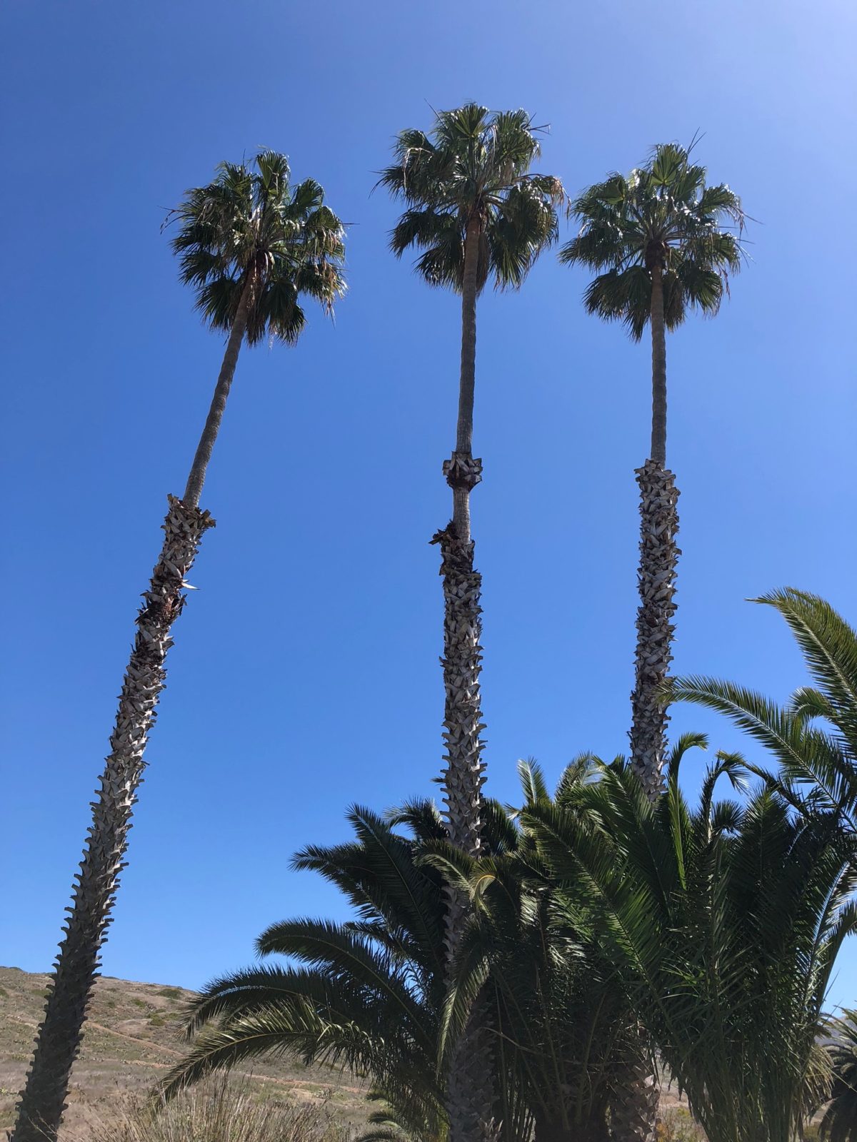
Palm trees galore at the campground
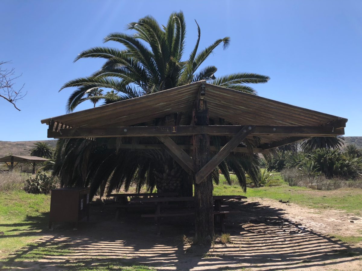
Our shady lunch spot
The [empty] Ranger Station
The view from the campsite (keeping our eyes peeled for wandering bison)
Another bison bull roaming the campground
Section 4: The Sheep Chute To Escondido Cutoff Junction
After a long and restful lunch, we decided we were going to “call an audible” and change our plans on the fly.
We felt good and we figured we had enough sunlight to make the 7.1 mile trek to Black Jack Campground if we left Little Harbor ASAP.
But, we’d have to take a short-cut. Consulting the map, we decided on a trail I had heard about before, the “sheep chute” road.
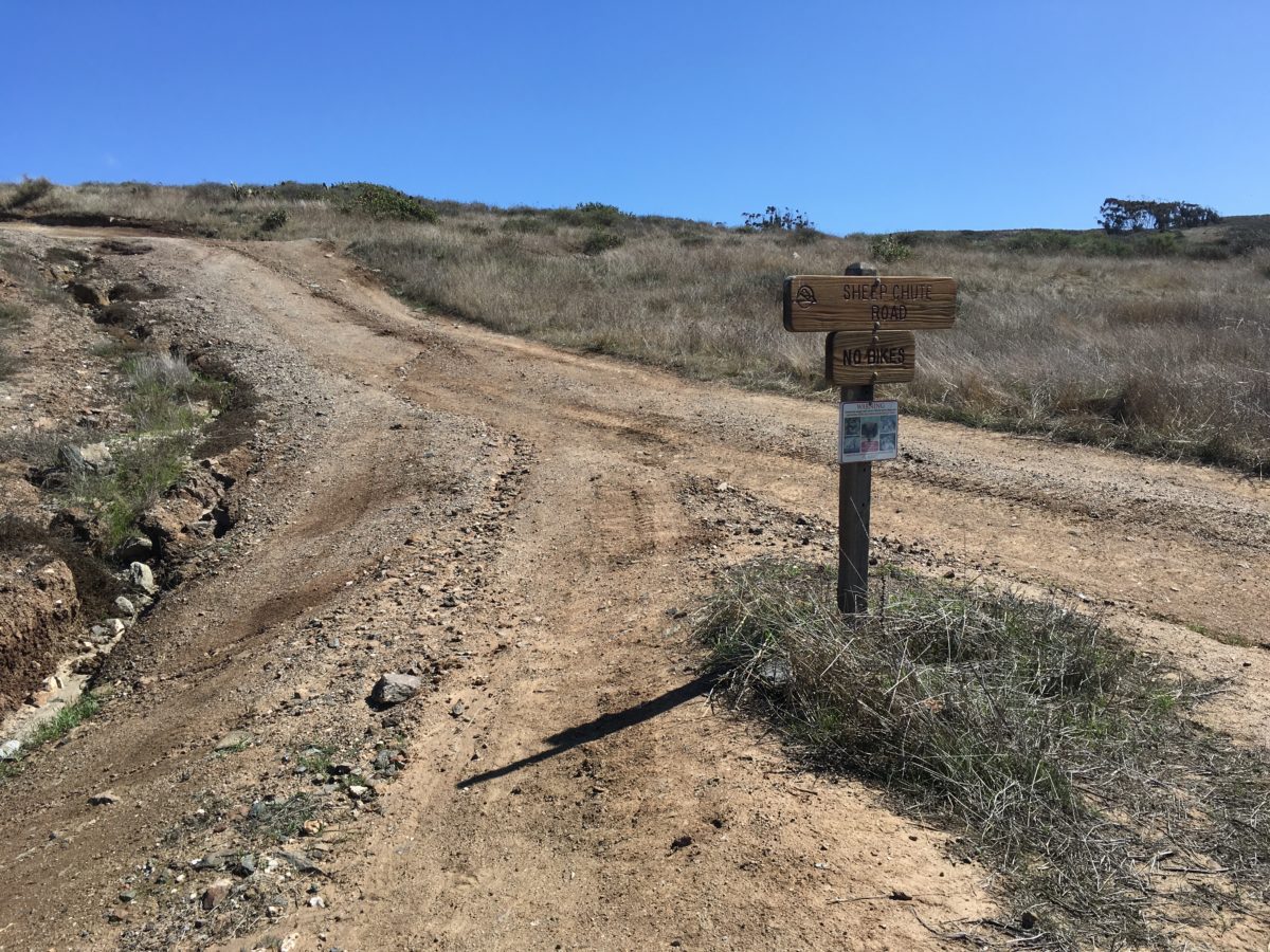
The Sheep Chute Road junction
The view back toward Little Harbor
The Sheep Chute was a rustic, steadily-climbing dirt road
View of the El Rancho Escondido Road
El Rancho Escondido
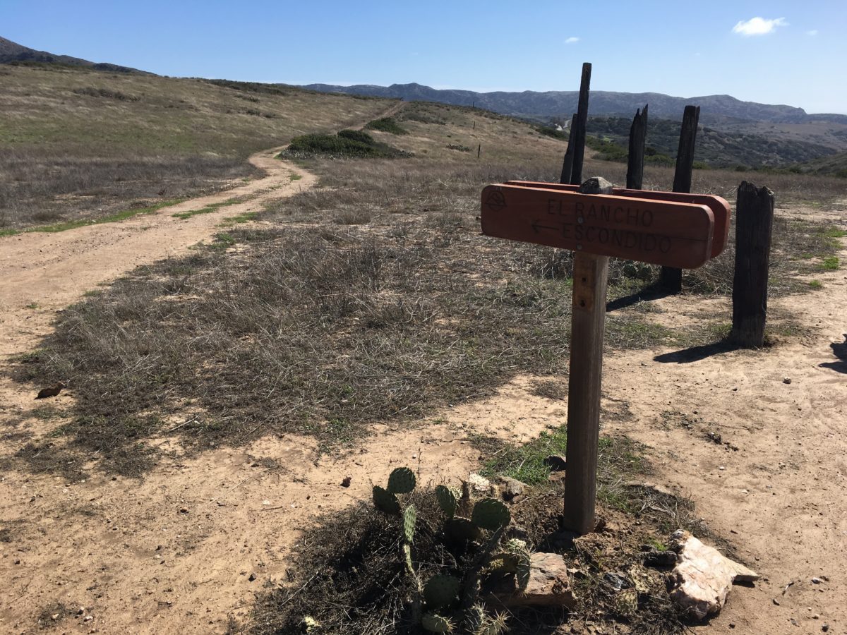
The Escondido Cutoff junction
Section 4: Escondido Cutoff Junction To El Rancho Escondido Road [Mileage Unknown]
From the Escondido Cutoff, we jumped onto El Rancho Escondido Road and took it northeast toward the Airport in the Sky.
This all-uphill section was slow-going, hot, and dusty. It was brutal in the direct sun.
About here, we were starting to re-think our plan to make it to Black Jack Campground
Looking west toward Little Harbor
That’s Black Jack Mountain in the distance (we weren’t gonna make it there by nightfall)
The shadows got longer as the sun got lower
The Emergency “Make-Shift” Campground
By now, a member of our backpacking crew starting feeling very ill. The sun had also dropped away and winds started howling as the temperature dropped drastically.
It became clear we weren’t going to make it to Black Jack Campground as the supposedly “easy” hiking day suddenly became an emergency situation and we needed to make camp fast so our friend could get warm and rest.
We had no cell-phone reception in our location, so were forced to find a spot off the side of the road and hunker down for the night while trying to nurse our friend back to health.
Should anything go wrong, we were semi-close to the Airport in the Sky, which would be open the following morning.
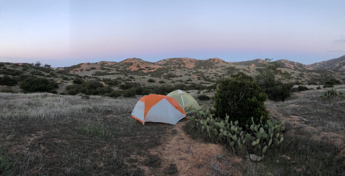
Our emergency campground to end Day 3
Cheers!