
After the previous night’s stay at The Lake Arrowhead Resort and Spa, it was time to head out and explore one of the more popular trails in the Lake Arrowhead area, the Heart Rock Trail (and waterfall).
Hiking The Heart Rock Trail To The Waterfall (Lake Arrowhead Area, CA)
Destination known…the Heart Rock
About The Heart Rock Trail Hike
The Heart Rock Trail is a popular 1.7 mile out-and-back trail located in Crestline, California in the Lake Arrowhead area. The trail is popular with people of all ages, especially families with young kids.
The trail is rated as “easy” by AllTrails.com and is well-shaded and flat for much of the way, but it does require some steep traversing to get to both the Heart Rock lookout point and the watering hole. Getting to the waterfall requires wading through a shallow (but slippery) stream with ice-cold water (which is great in on a hot summer day).
Getting There
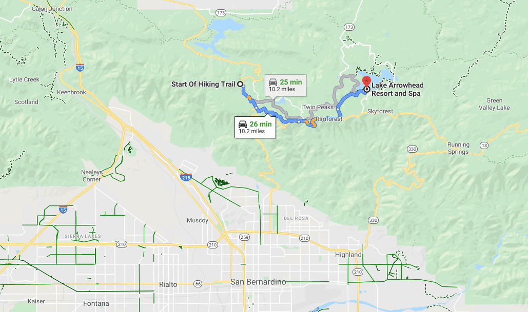
The Heart Rock Trail is located north of San Bernardino, CA. It’s about a 25 minute drive from Lake Arrowhead Village (Lake Arrowhead Village is about 2 hours from Los Angeles) on Highway 138 near Camp Seeley.
Parking
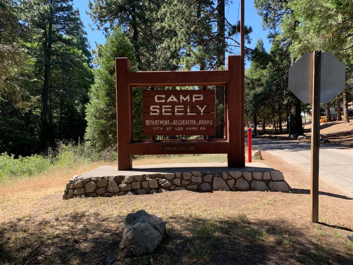
Parking can be a little tricky, depending on how crowded it is. The first thing is to look for the Camp Seely sign (below) off HWY 138. There is a dirt parking lot just south of this sign on the west side of the road on HWY 138.
If you get there early on a less-crowded day, you can try to park even closer. To do this, follow the road outlined below in “Section 1: Finding The Trailhead”.
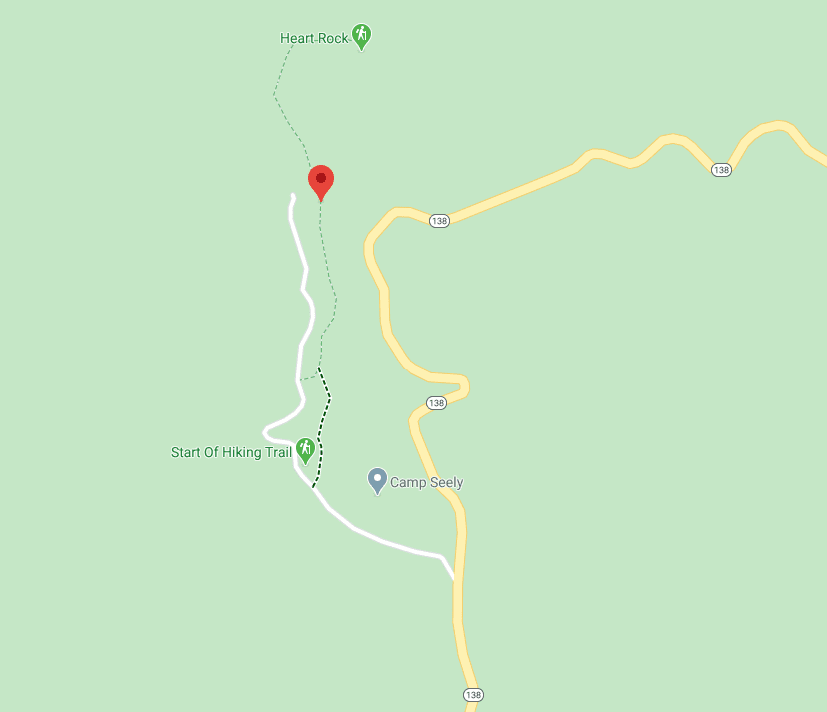
Heart Rock Trail Map
As you can see, the Heart Rock trailhead actually starts off a paved road inside of Camp Seely.
Although it may seem a little confusing, it’s really not. I’ll give you directions to find the “green trail” below that will take you straight to the rock.
Section 1: Finding The “Green Trail” Trailhead
The first thing you’ll need to do is make a left into the Camp Seely area. Stick to the left side and follow the signage.
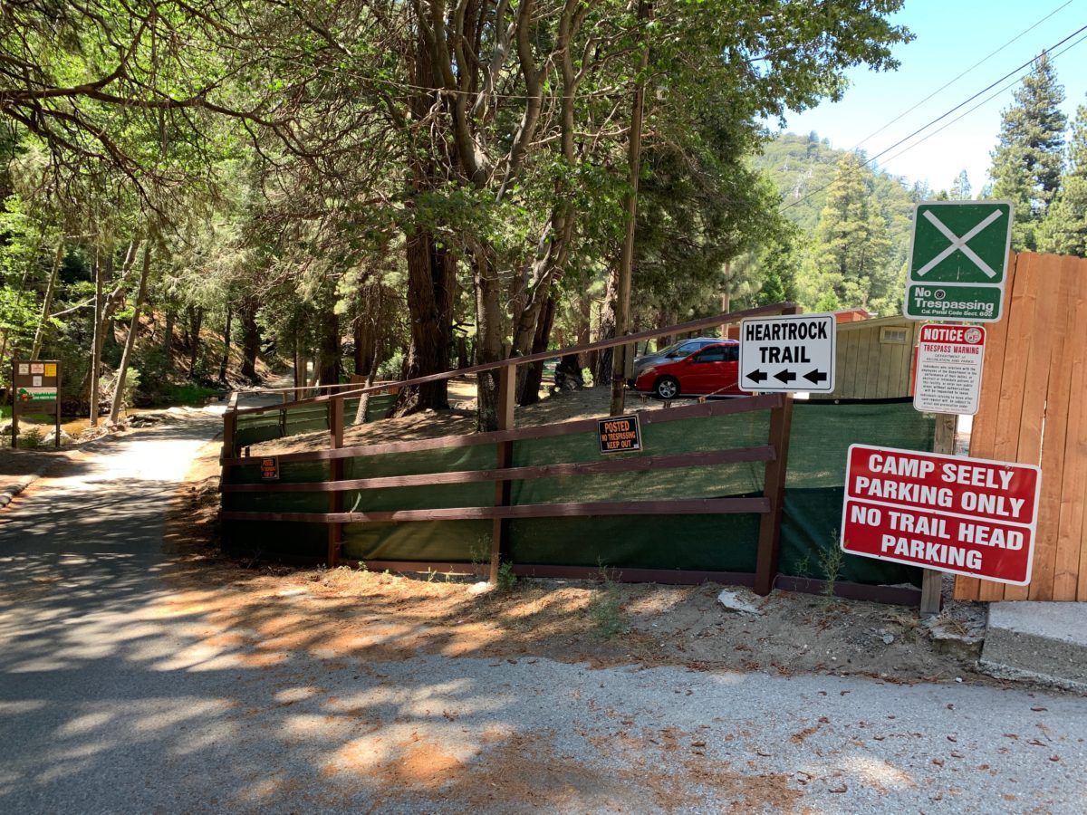
Follow the signs and stick to the paved path on the left
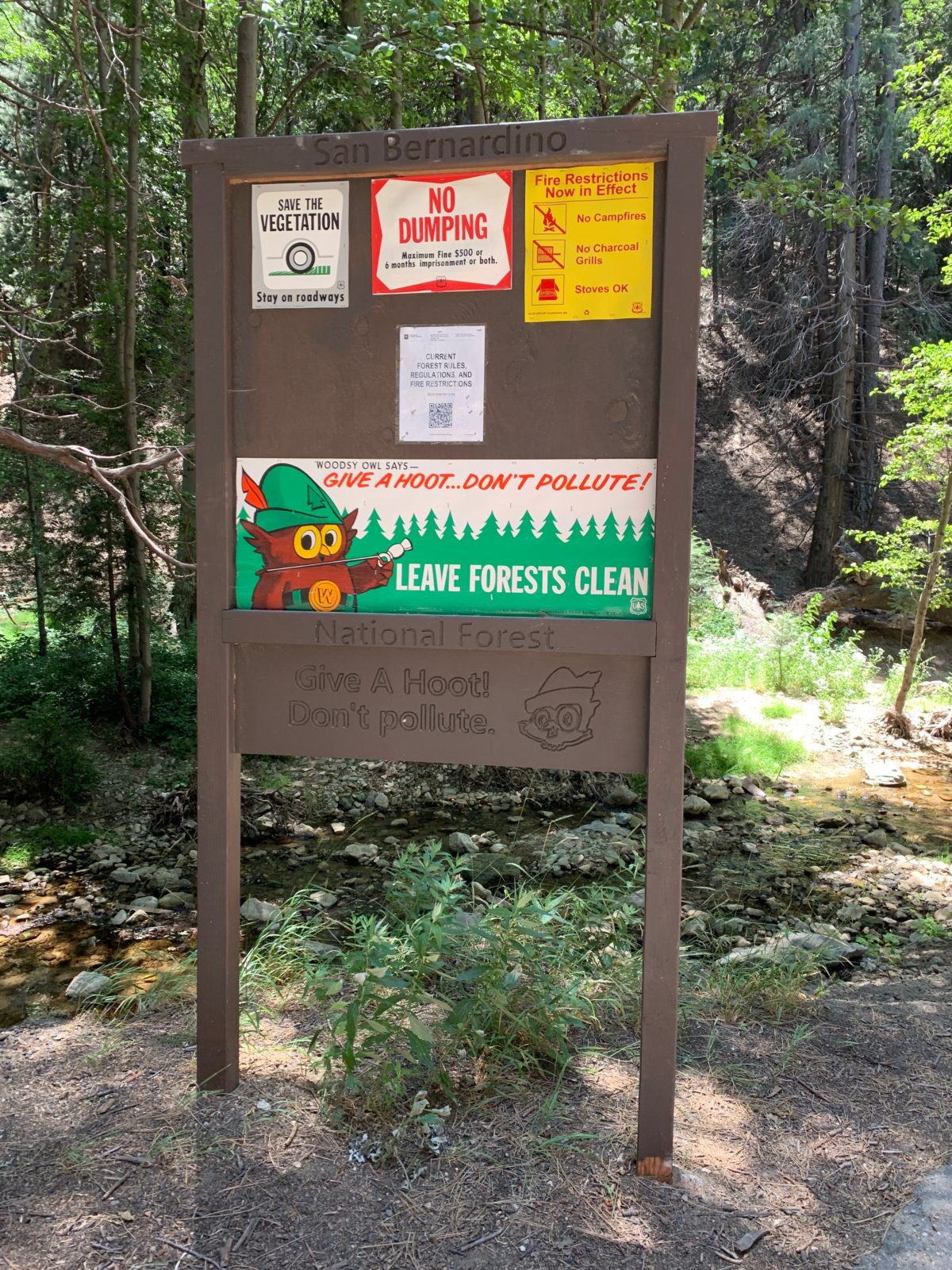
You’ll know you are on the right path when you come upon this sign (just past the Camp Seely employee parking lot)
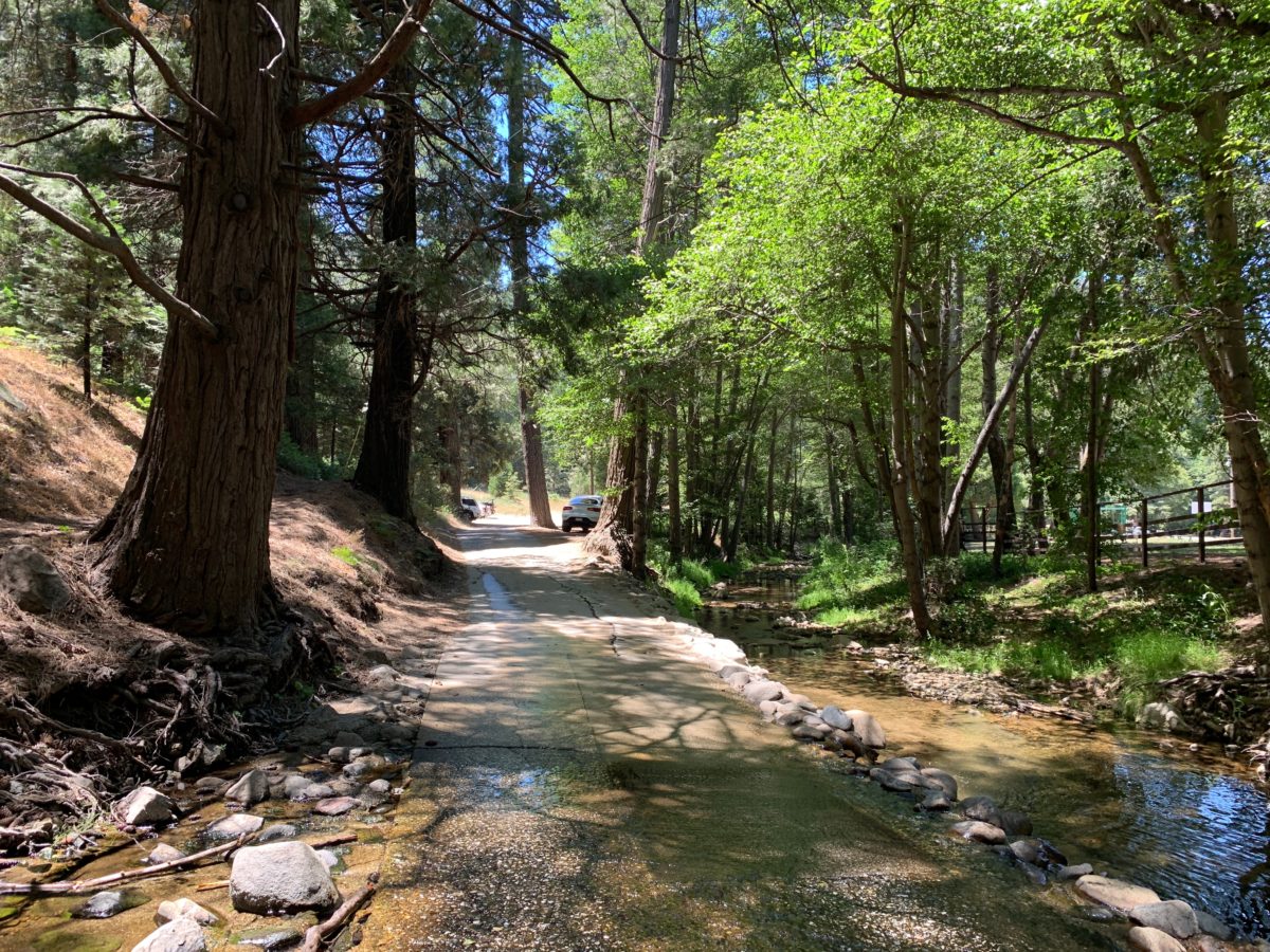
Continue down the pathway (it may get a little wet)
This is the first of several parking areas on the little road adjacent to Camp Seely. You can choose to park here or continue on
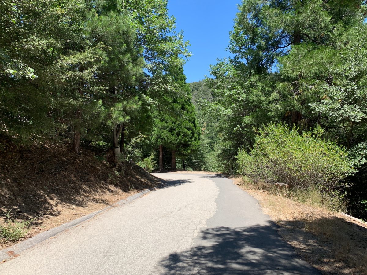
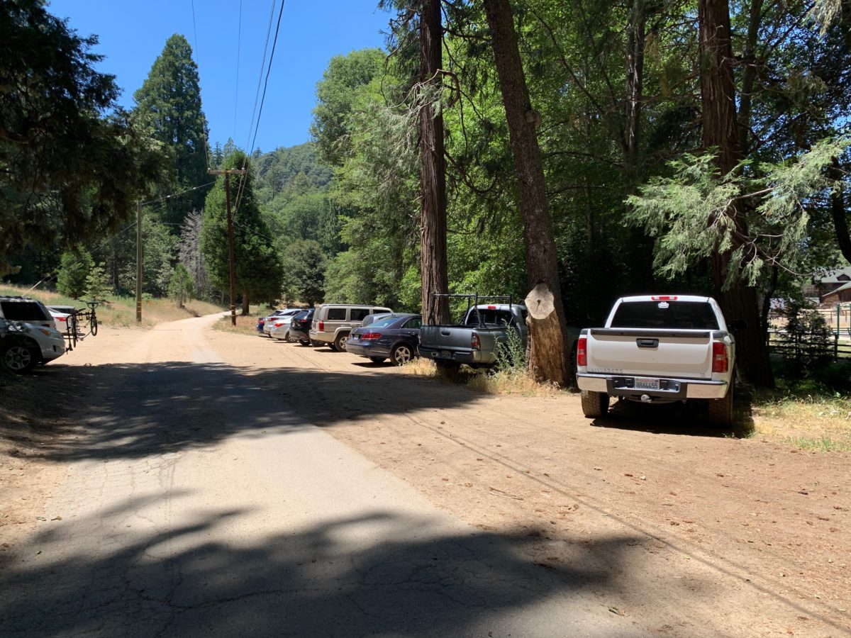
Continue down the roadway
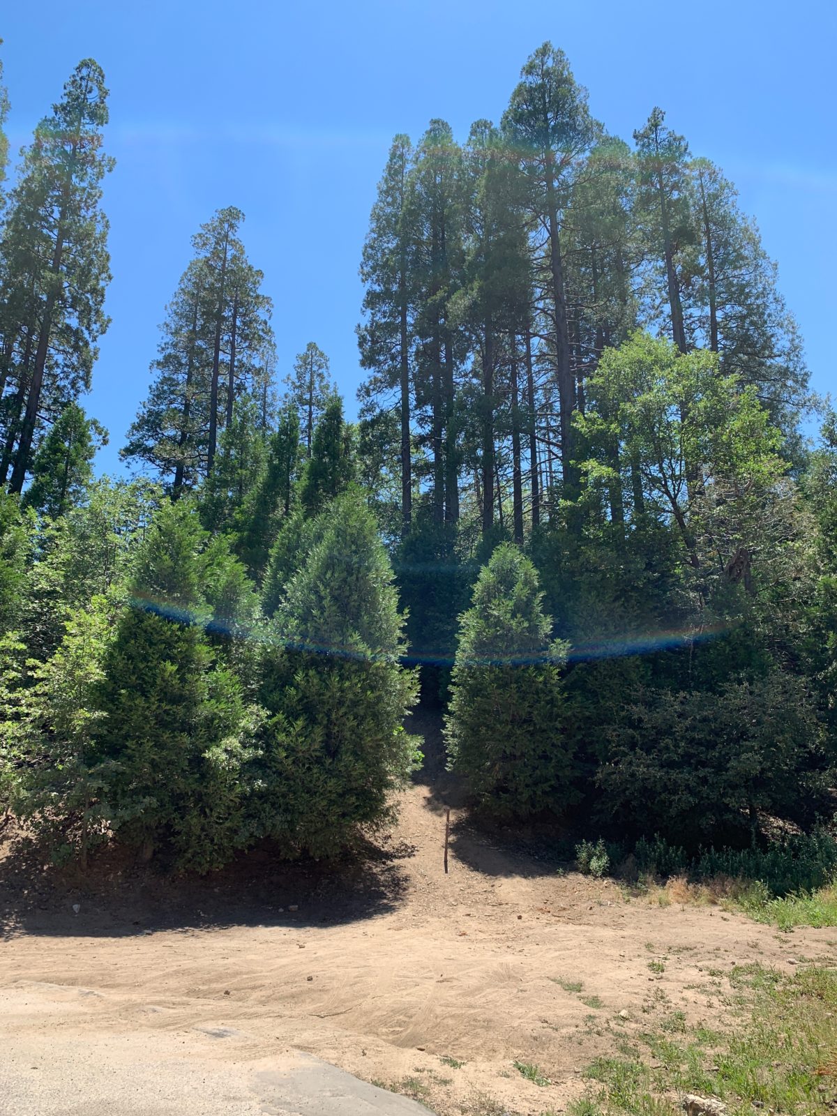
THE WRONG WAY: As you come the the end of the roadway don’t be tempted to go uphill here – THIS IS THE WRONG WAY
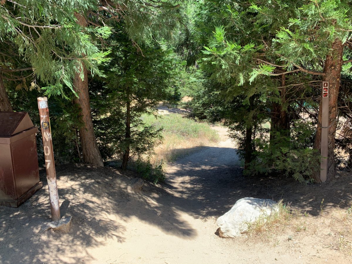
THE RIGHT WAY: This is the “green trail” trailhead you are looking for. Continue down this trail to the Heart Rock View Point
Section 2: The Trail To The Heart Rock View Point
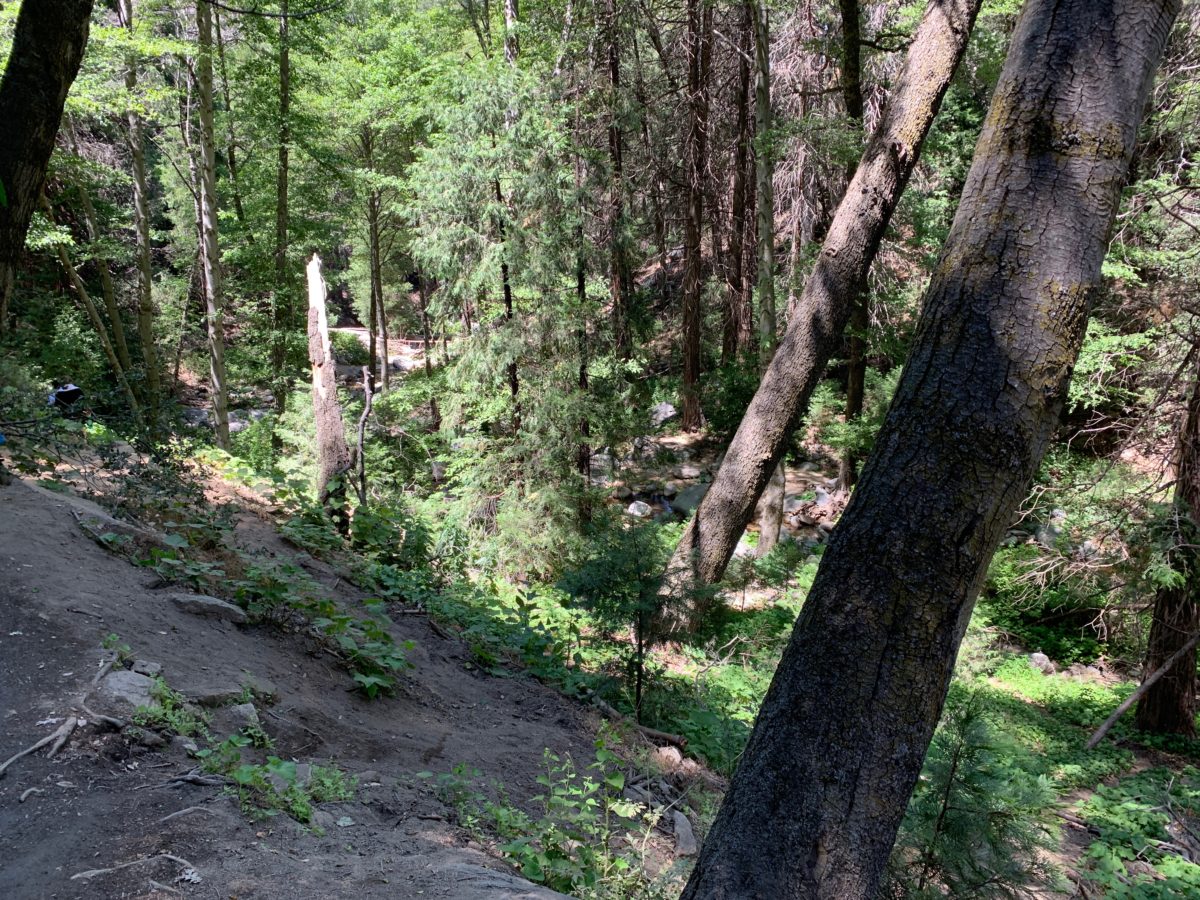
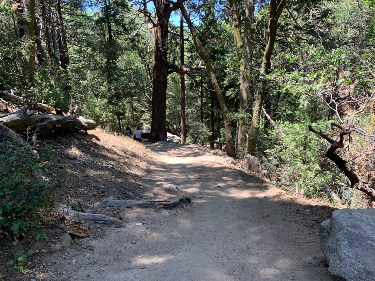
From the trailhead, the trail continues on and a dusty (but mostly flat) hillside paralleling the stream below.
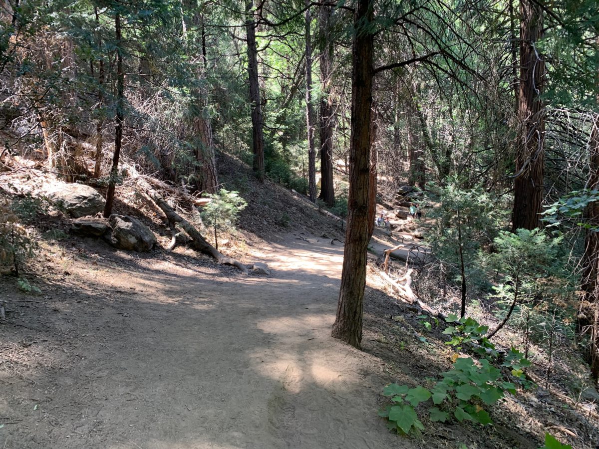
Just a walk in the park
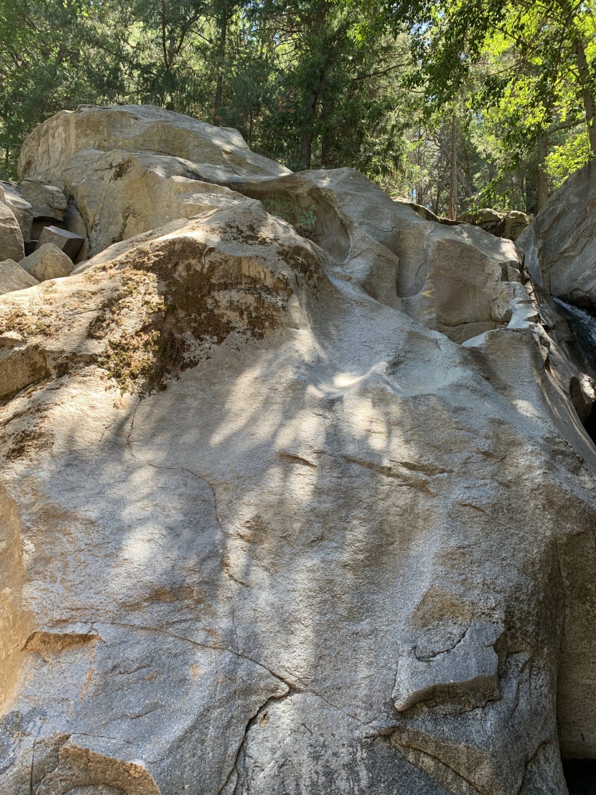
Soon, you will come across these large rock formations on the trail.
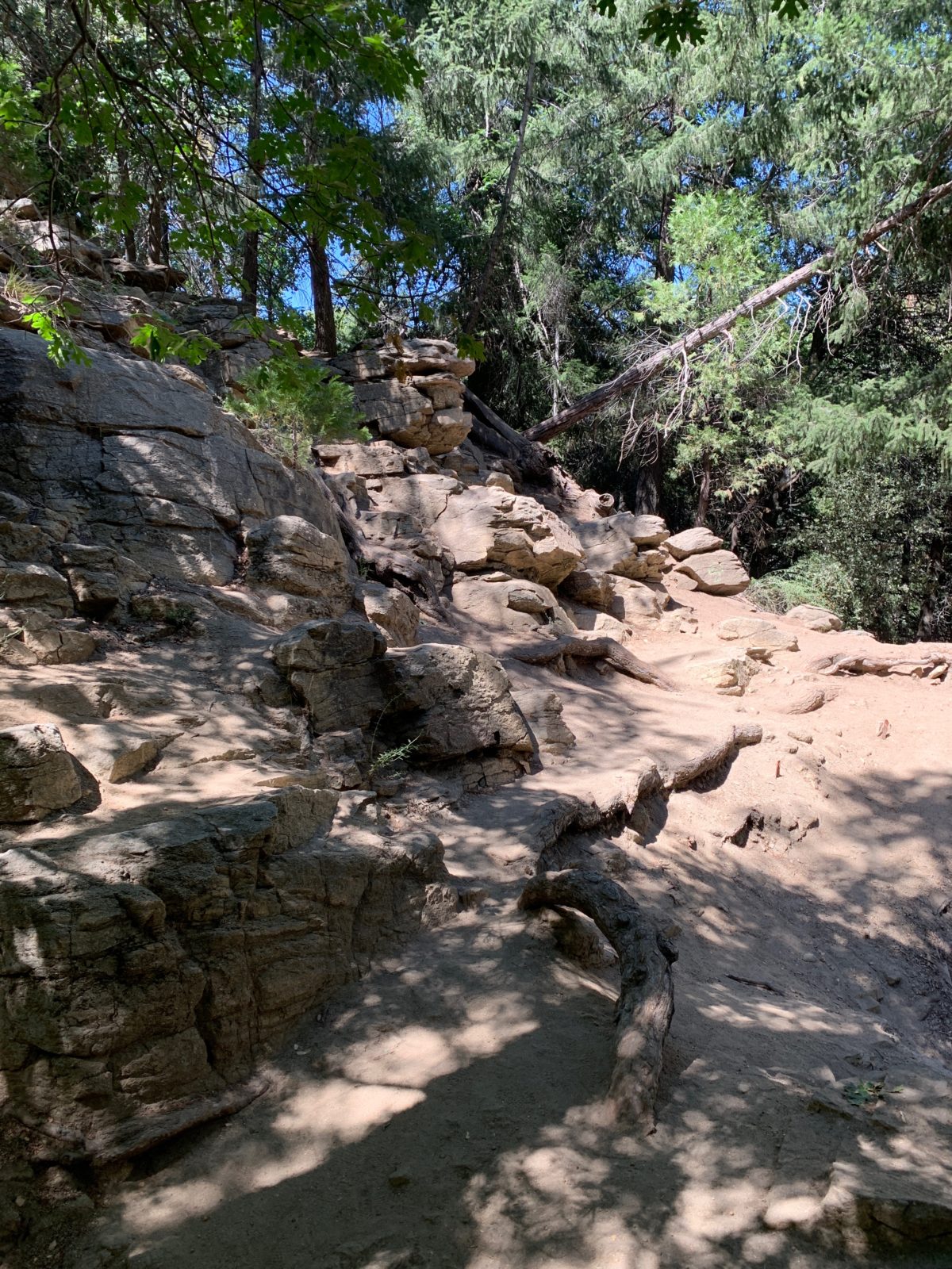
From here, you will see a rocky “stair-like” pathway leading down to a large boulder (below). This is the path to the Heart Rock lookout (view point).
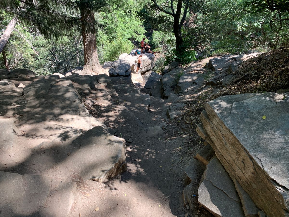
Continue down toward the large boulder
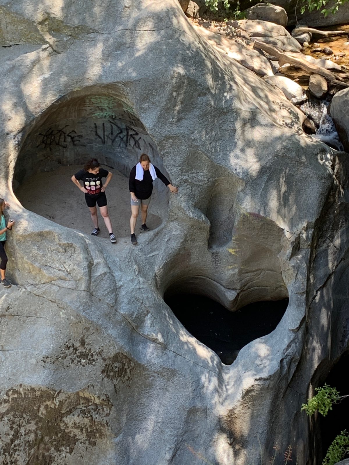
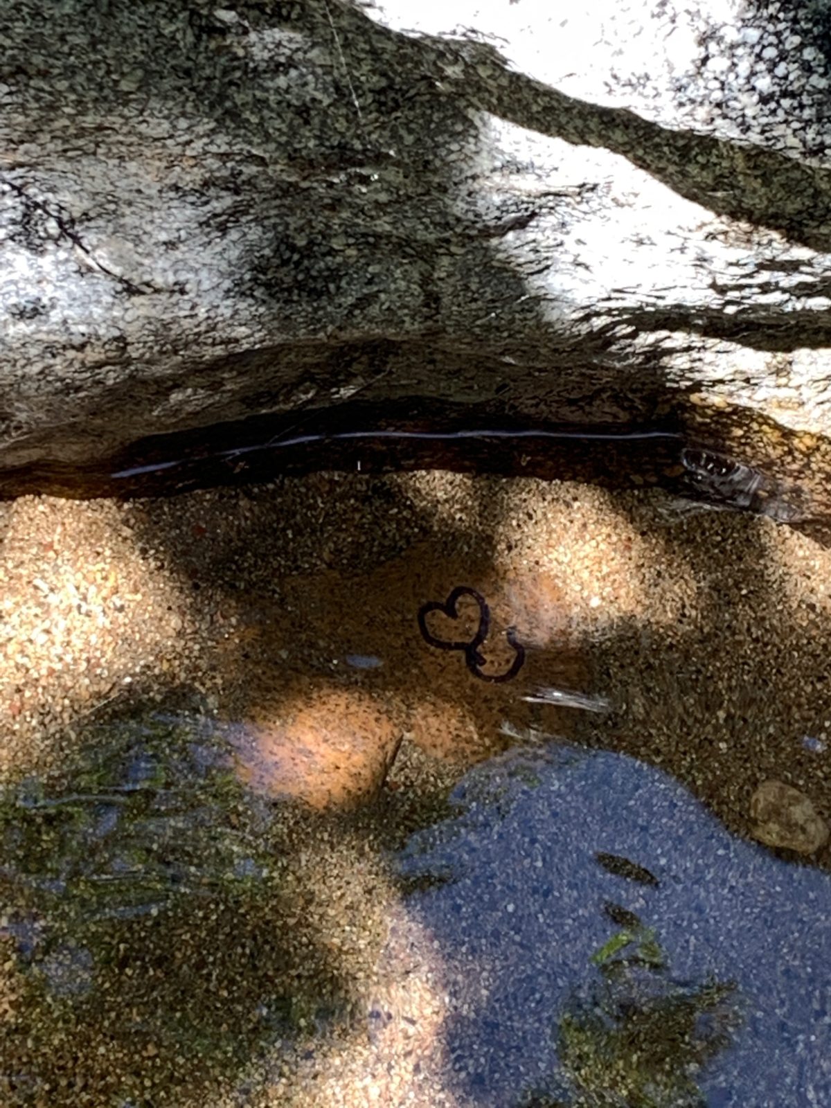
It’s here (from across the stream) where you can get the best look at the Heart Rock.
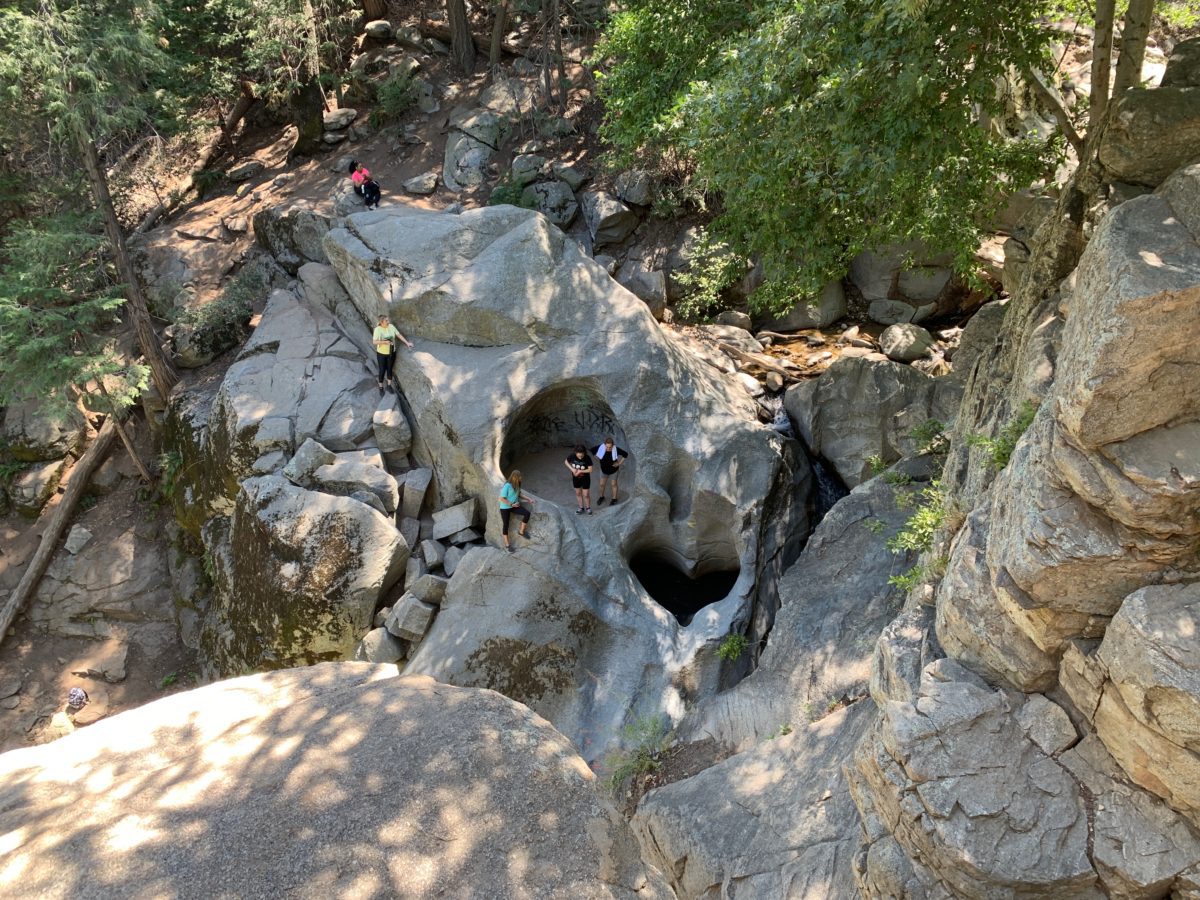
To cross the stream to the Heart Rock (where these people are pictured), continue to the watering hole.
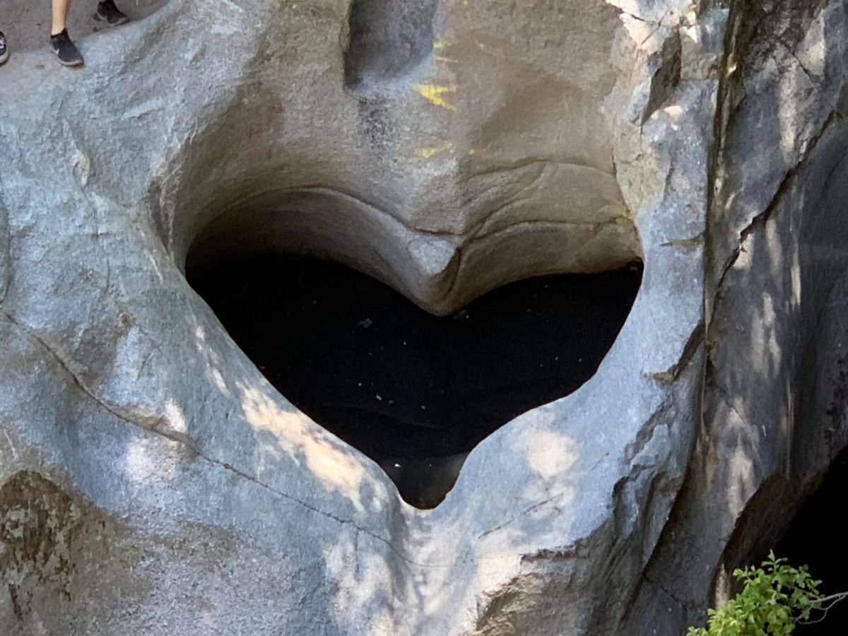
The aptly named “Heart Rock”
Section 3: Trail To The Watering Hole
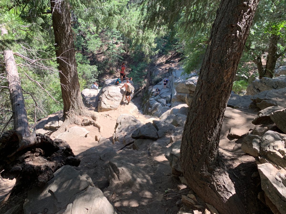
From the lookout point, head back uphill until you reconnect with the main trail.
After reconnecting to the main trail, follow it right (eastward) as it curves around and down toward the stream
Here is the steepest part of the trail. Use caution and go slow as you make your way downhill.
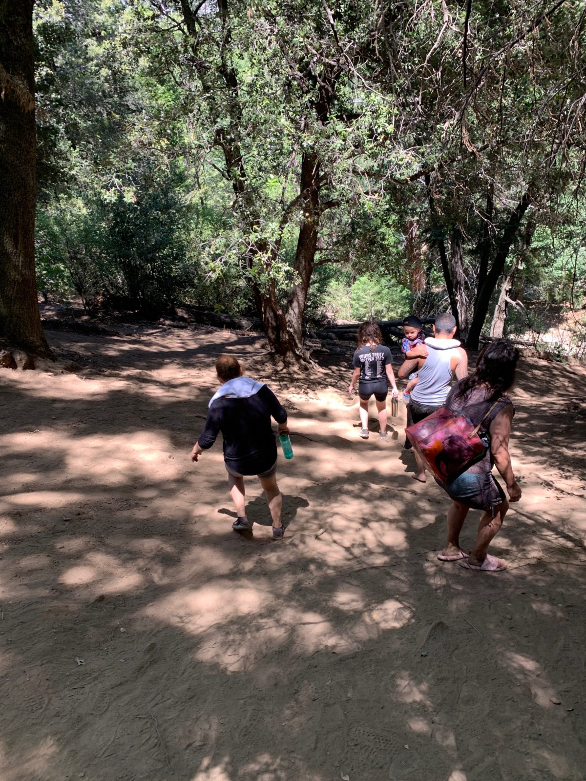
Soon, you’ll arrive at the [kid-favorite] watering hole.
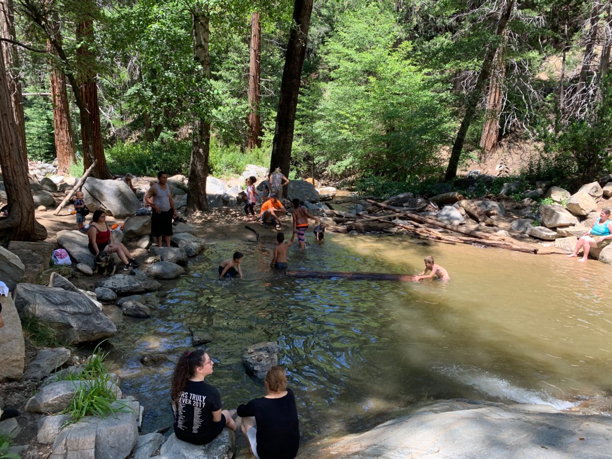
This is the popular spot for kids to do some swimming or just get their play on.
Section 4: Wading In The Stream To The Waterfall
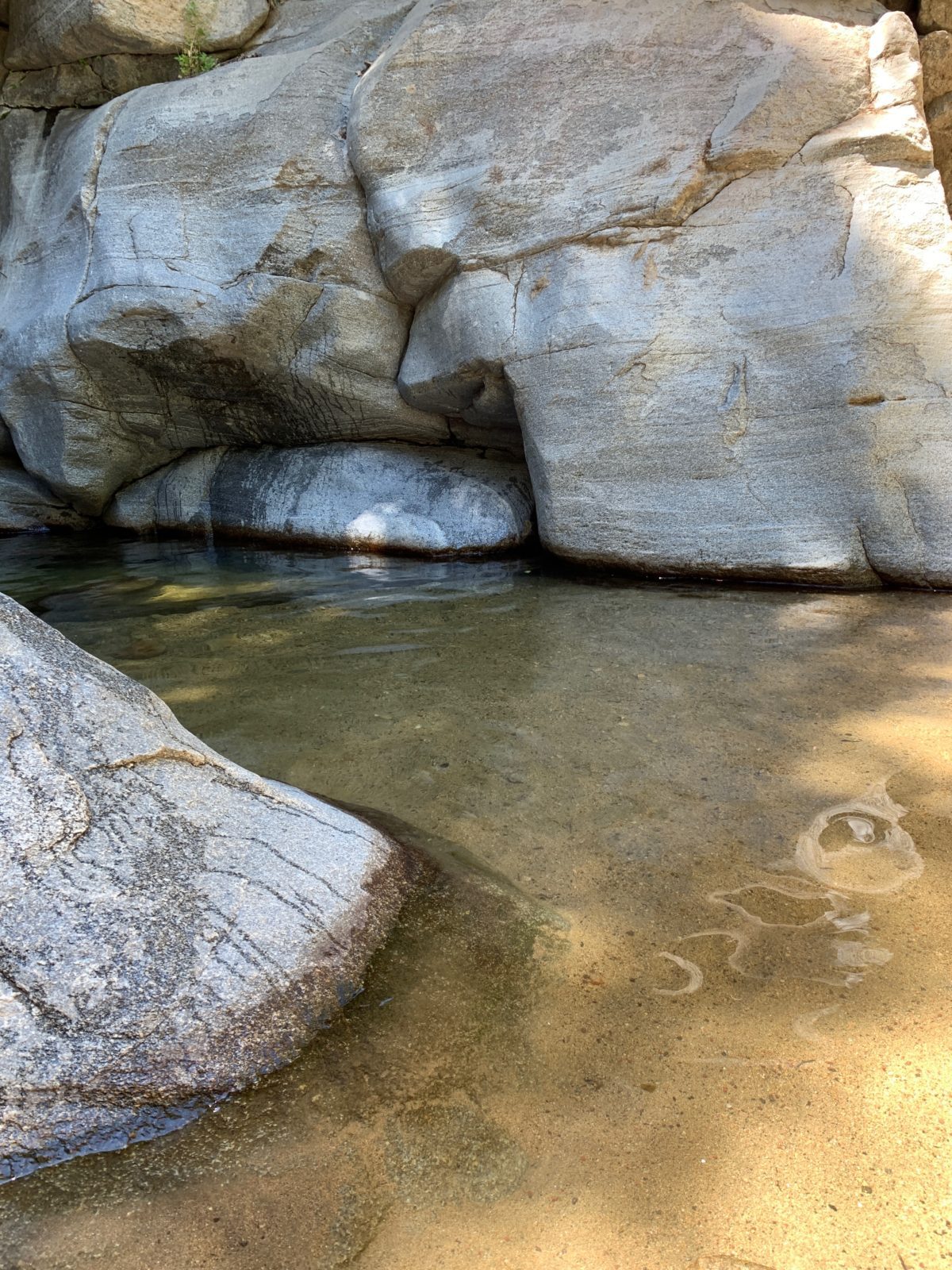
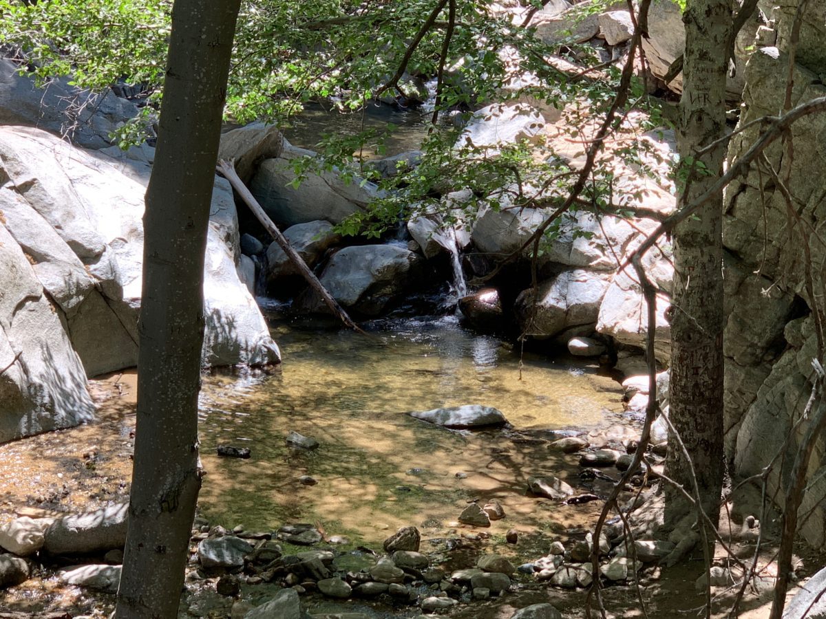
To get to the waterfall from the watering hole, you’ll need to head upstream.
I recommend using water-shoes here, although I went barefoot and took it slow and it was fine (but cold).
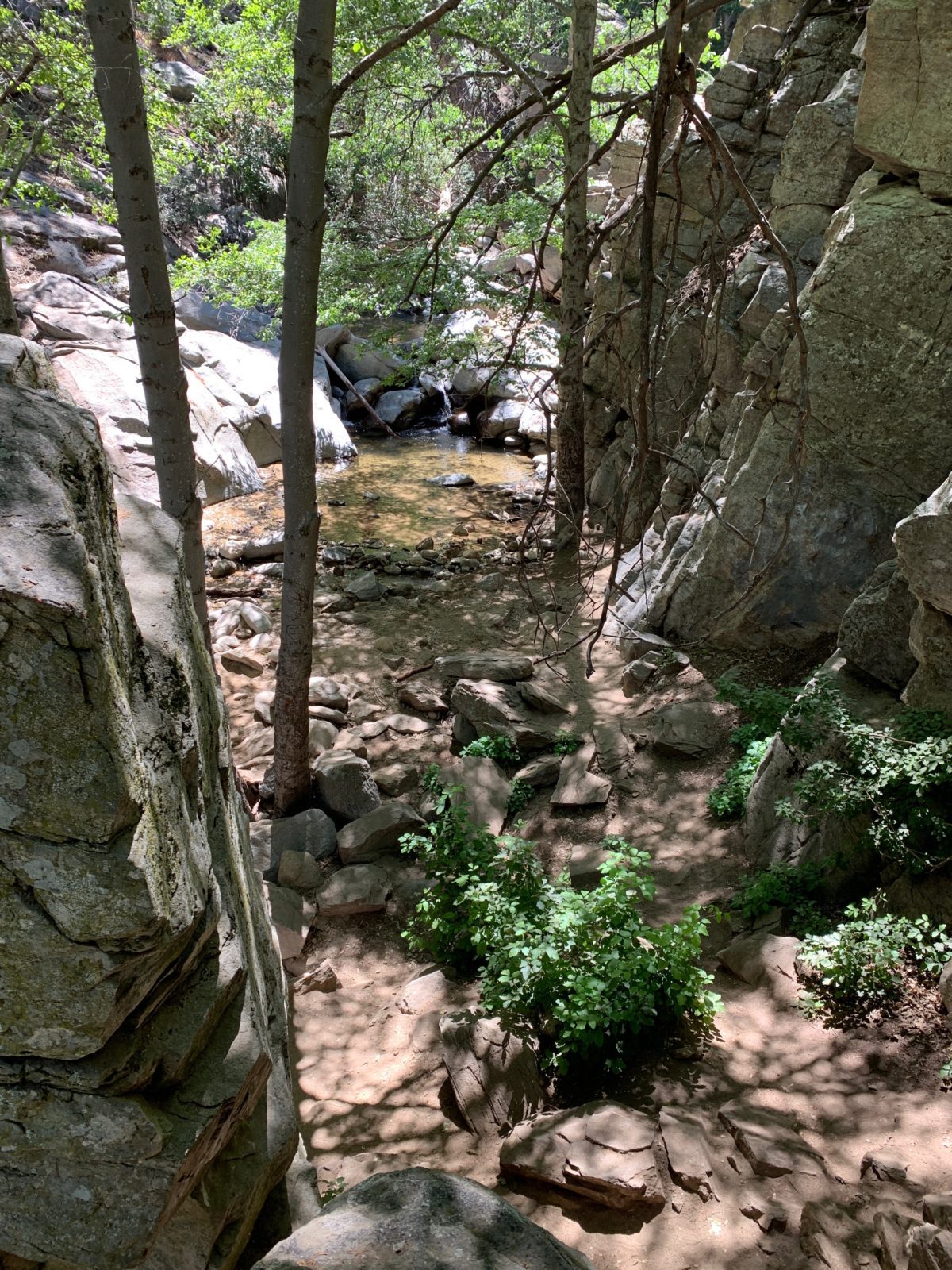
Follow the stream to the waterfall here
You can’t see it, but the Heart Rock is located at the top of this giant rock. To get there, you’ll need to rock-scramble around the left side of the rock here.
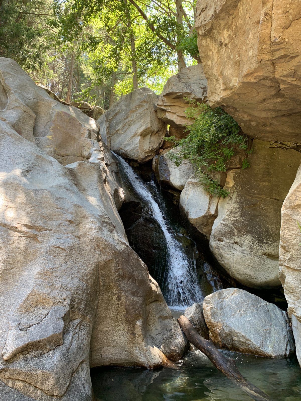
The waterfall
Final Thoughts: Hiking The Heart Rock Trail To The Waterfall (Lake Arrowhead Area, CA)
The Heart Rock trail is a blast. It’s easy, shaded, interesting, and has several big payoffs including the Heart Rock, waterfall, and watering hole.
This is a popular trail for a reason. It’s really a perfect spot to take the family on a hot summer day for some free family fun. It’s also the perfect way to spend a morning or an afternoon when visiting the Lake Arrowhead area.
Cheers!