
For more information on the Mojave National Preserve, click here.
Having tackled the awesome Barber Peak Loop Trail the day before, I wanted to try another classic Mojave National Preserve trail – the Teutonia Peak Trail.
Hiking The Teutonia Peak Trail (Mojave National Preserve, California)
In this post, I’ll take a look at the Teutonia Peak Trail, a trail that takes you right smack through the heart of the planet’s densest Joshua Tree forest.
About The Teutonia Peak Trail
The website AllTrails.com lists this out-and-back hike at 3 miles (round-trip) and rates the trail’s difficulty as “moderate”.
This desert hike is almost completely uncovered (with the exception of some large rocks on the peak itself) and therefore probably shouldn’t be attempted in the summer sun or without adequate water and sunscreen.
Here’s the NPS description of the trail (below).

Getting There And Parking
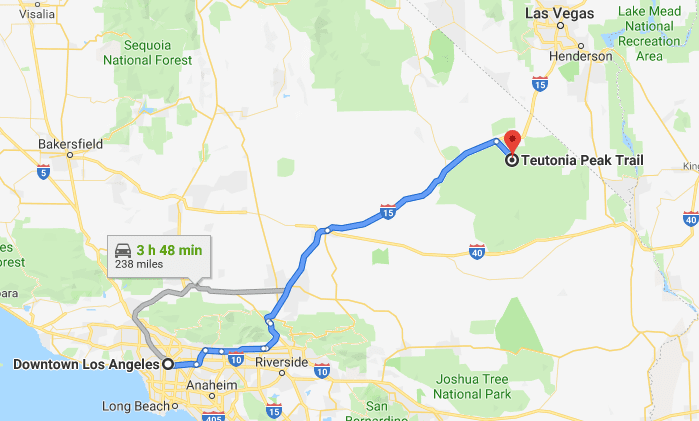
The Teutonia Peak Trailhead is located off of Cima Road about 4 hours from Los Angeles by automobile, or about 1 and a half hours from Las Vegas.
This trail is lightly trafficked and has plenty of parking near the trailhead or on Cima Road.
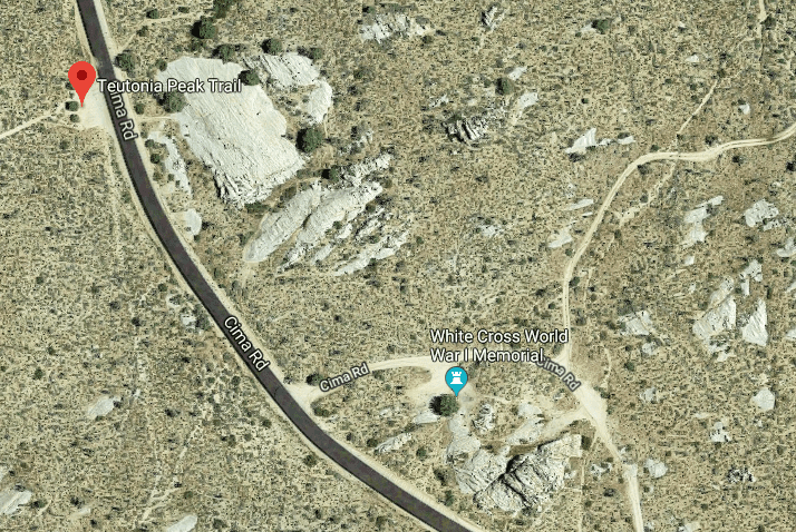
Map of the Trailhead, Parking, “Giant Foot”, and White Cross
Section 1: The Trailhead To The Base Of Teutonia Mountain
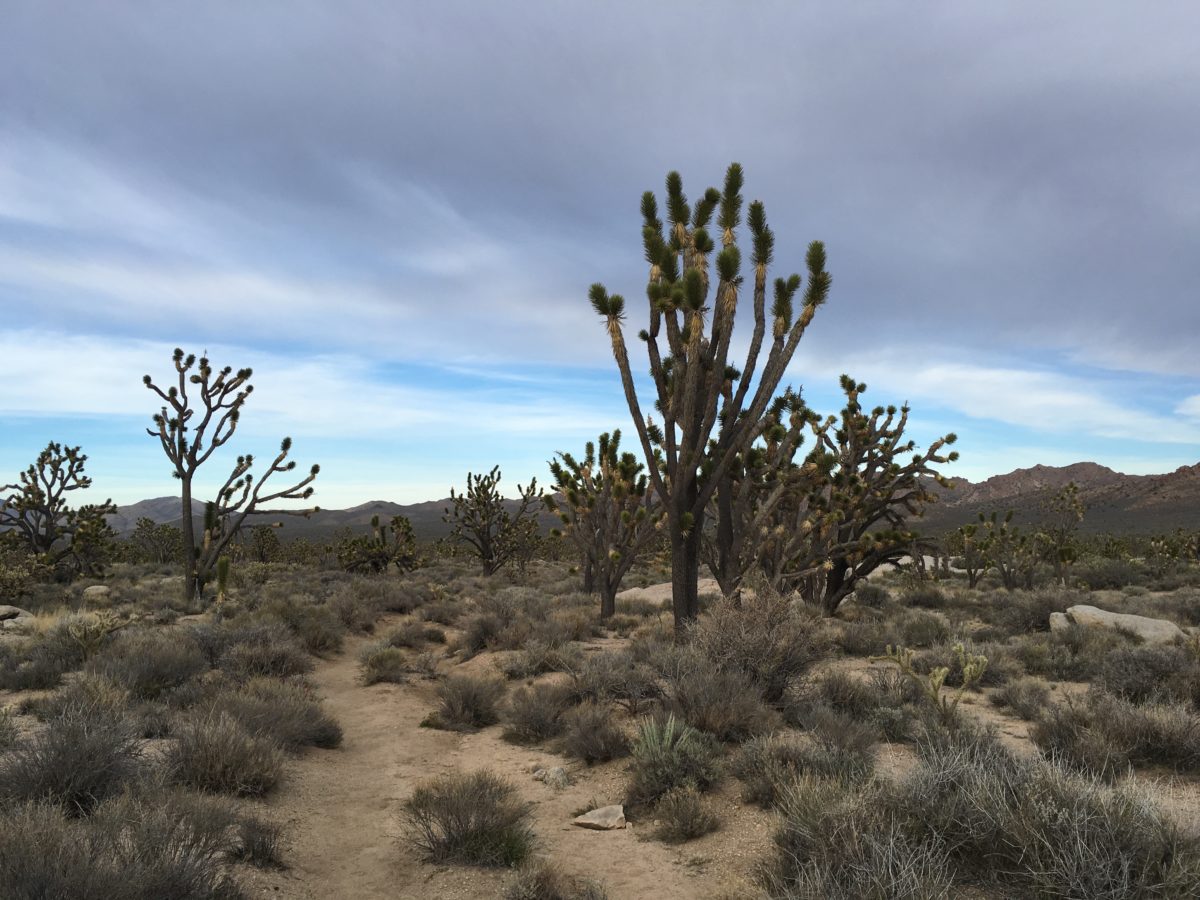
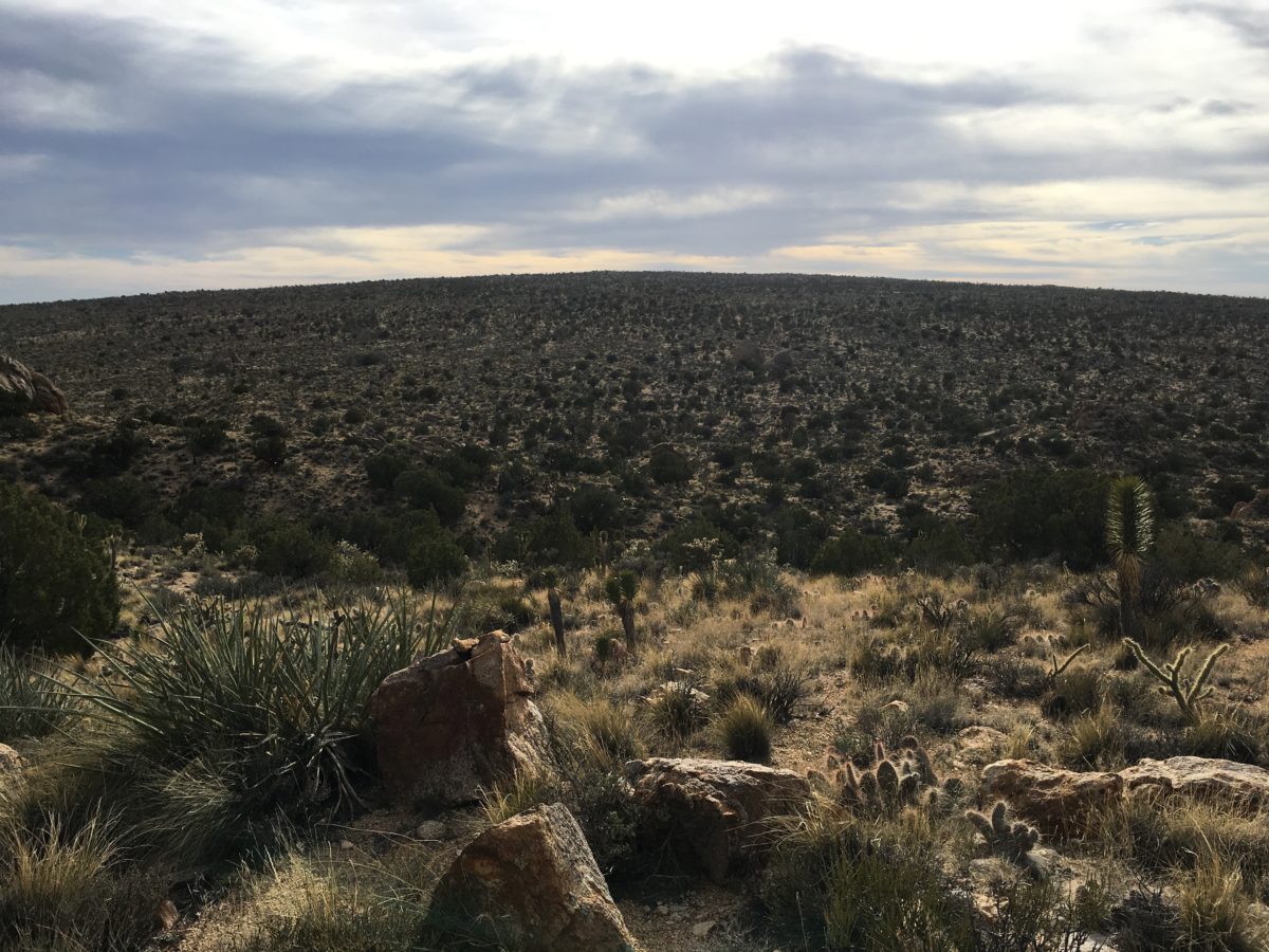
The first mile of this trail leads you through the dense Joshua Tree forest, past random abandoned mines (you’ll want to stay away) and criss-crossing desert roads.
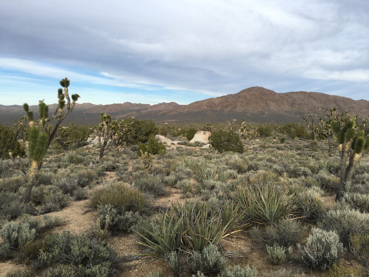
There is some amazing desert plant and wildlife here, so take your time and look closely.
Head straight down the trail toward the mountain.
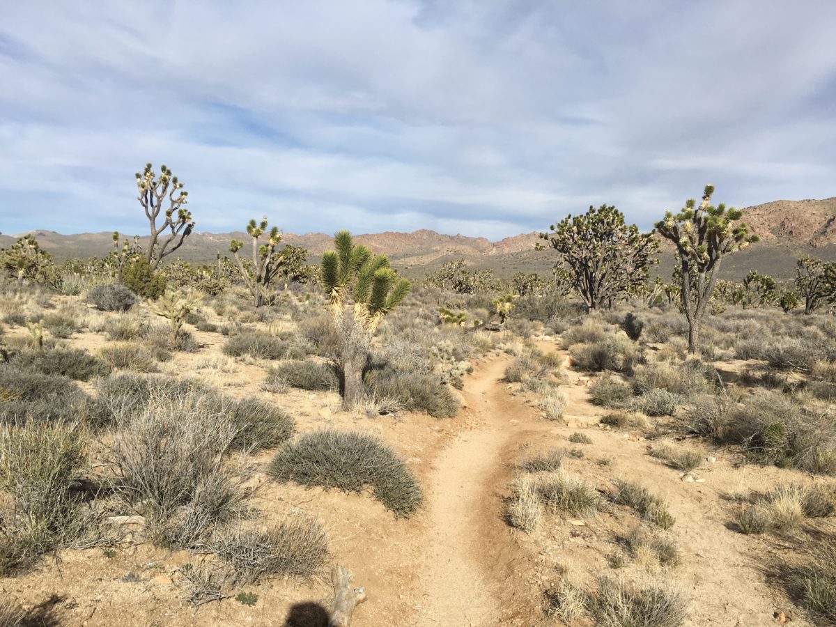
Sandy trail through the Joshua Tree forest
Abandoned mine
Straight ahead
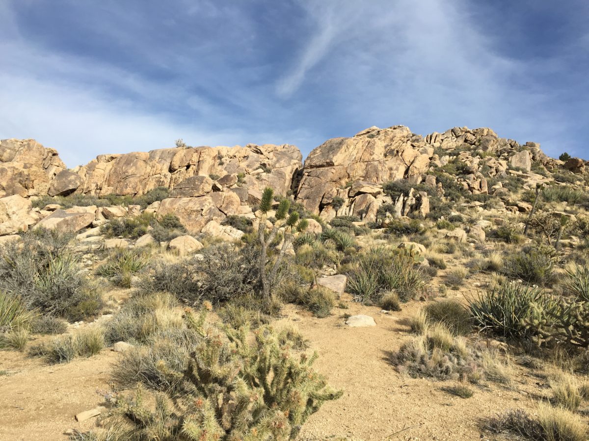
The base of Teutonia Mountain
Section 2: From The Base Of Teutonia Mountain To The Summit
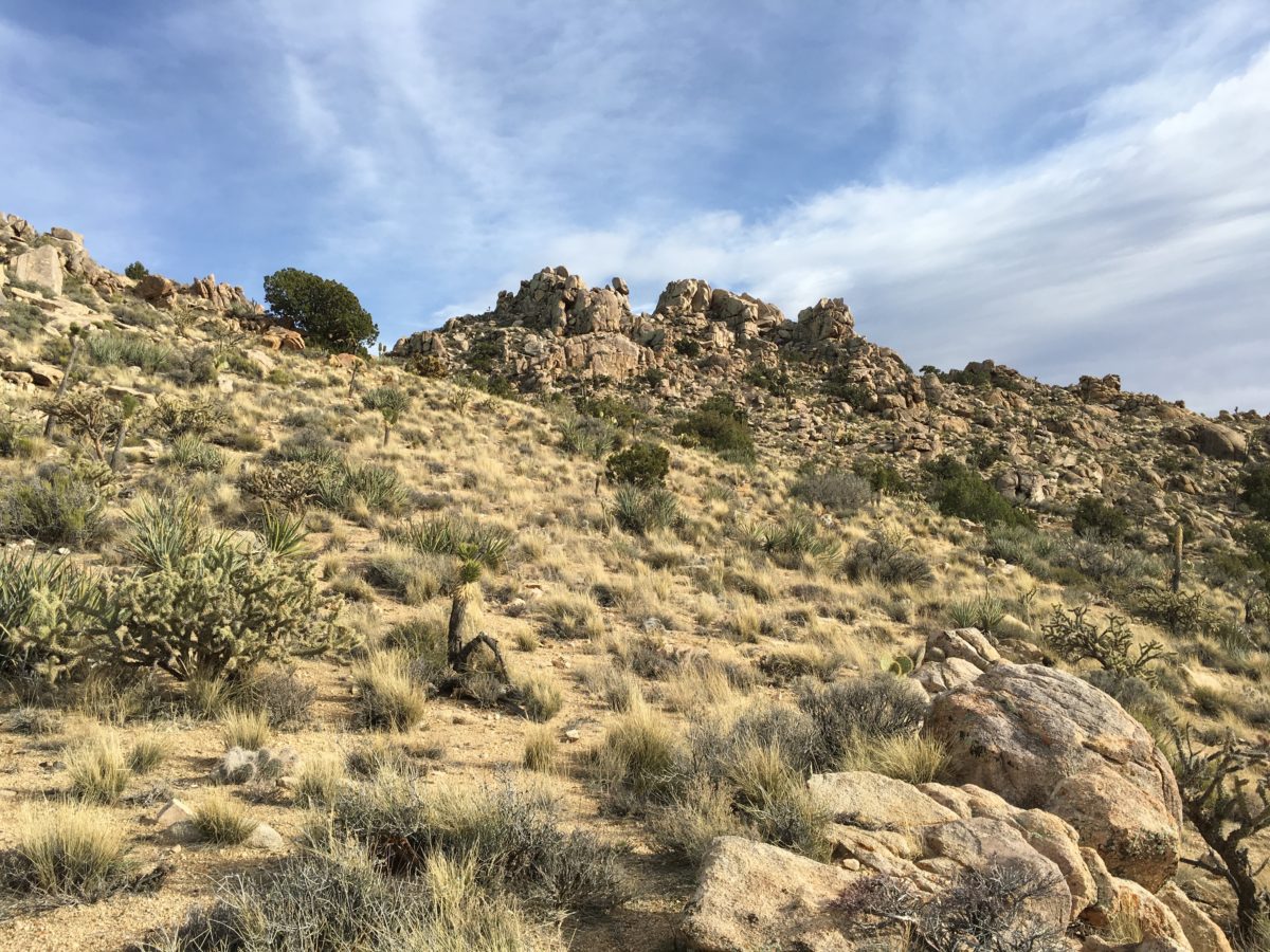
The trail will have some slight switch-backs as you ascend
Views of the Mojave National Preserve (looking North)
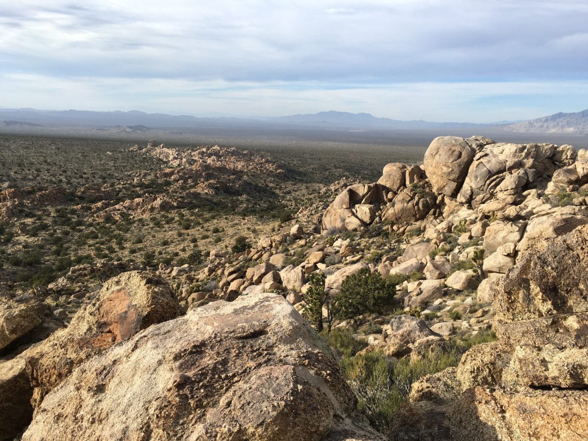
Almost there! (looking back)
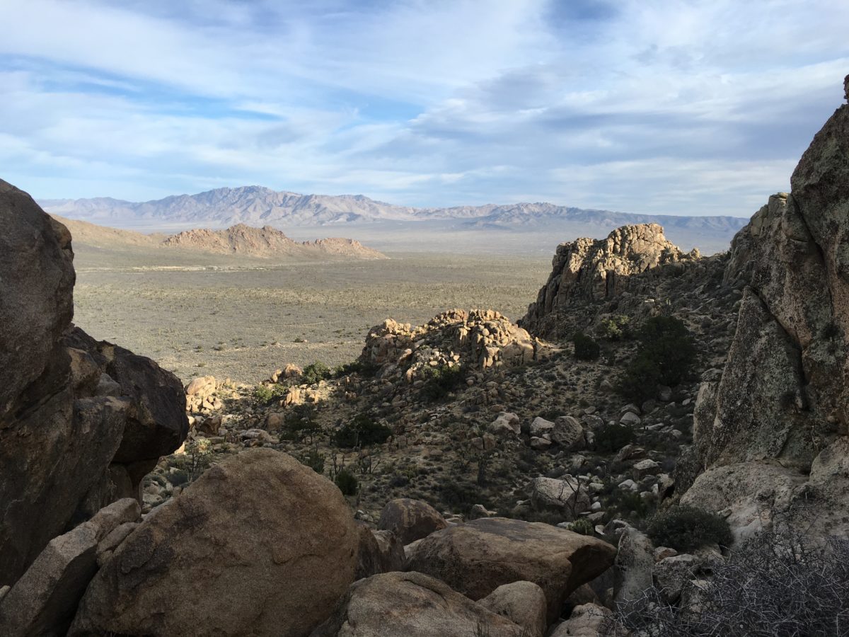
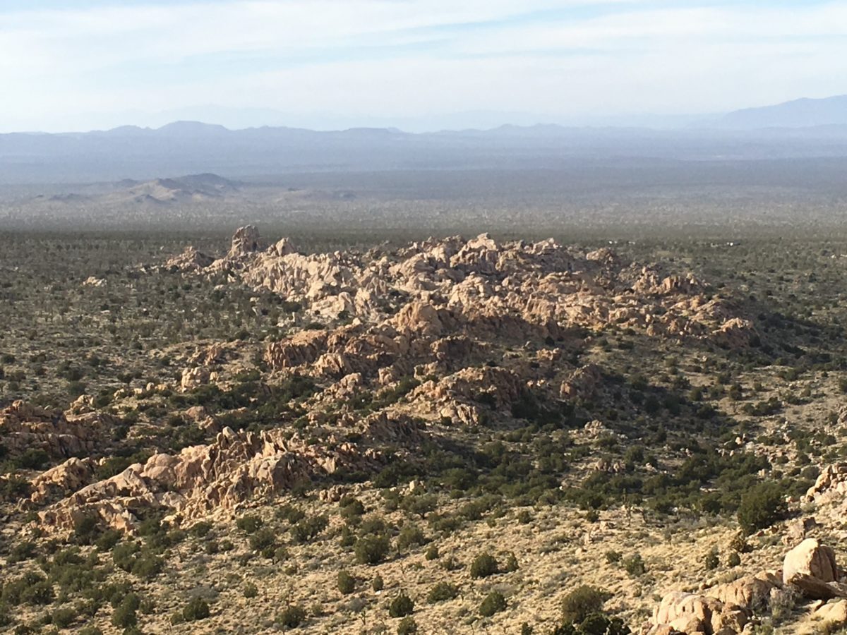
There it is, the view [Eastward] from the top of the peak and the end of the trail
View Of The Cima Dome
From the peak, you get a perfect view of the Cima Dome volcanic landmark.
Wikipedia.com states the Cima Dome is, “…an extremely symmetric dome of this granitic formation type, and one of the most visible ones by being in open desert plains”.
The view [Westward] of the Cima Dome
Bonus: The Giant Foot And The Mojave Cross
As you return to the trailhead, there is a bonus attraction to check out right across the street, “the giant foot”.
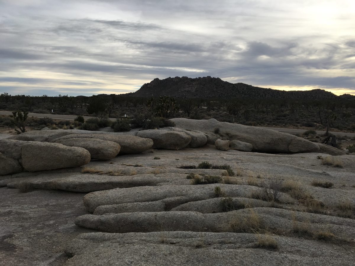
The “giant foot” with Teutonia Peak in the background
You can also head a little south on Cima Road (by car) to check out the Mojave Memorial Cross.
Final Thoughts: Hiking The Teutonia Peak Trail (Mojave National Preserve, California)
At 3 miles round-trip, the Teutonia Peak trail is a great hike to do to break-up the long drive between Las Vegas and Los Angeles.
The Mojave National Preserve is an underrated Park that is a great place to explore and this is one of its premier hikes.
It’s totally worth checking out if you like desert hikes with fresh air and interesting geology – or just Joshua Trees.
Cheers!