
After a nice, but quick, stay at the Grand Hyatt Erawan Bangkok and a wonderful breakfast at the Grand Club Lounge, it was time to make our way to DMK Airport (Bangkok‘s “other” airport) for our non-stop morning flight to Myanmar.
Aerial Photos: Flying DMK-MDL
After a few drinks at Miracle Lounge, we boarded the Air Asia A320 via the tarmac.
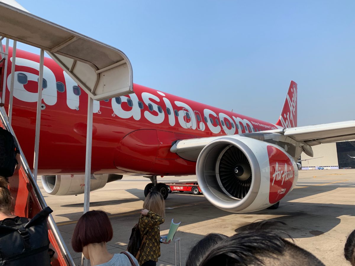
Air Asia A320
Aerial Photos And Expectations
As you know, I’m a nerd for geography and aerial photography.
In my mind, I was picturing Myanmar to be mostly a vast, undeveloped, flat landscape of mixed jungles, river deltas, and monsoonal swamps.
The reality was something totally different. Take a look at this topographic map.
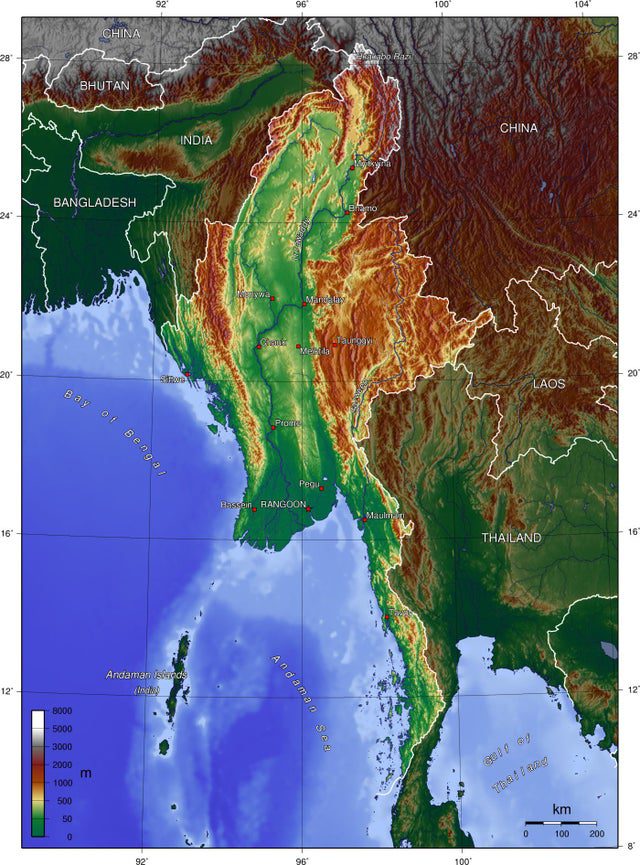
Green colors mark the low elevation areas, brown colors mark the mountainous areas at higher elevation (image courtesy of mapporn). Note: this map appears to be of Burma (pre-Myanmar)
The Mountainous Eastern Interior
Turns out, Northeastern Thailand and Eastern Myanmar were quite mountainous and agriculturally developed.
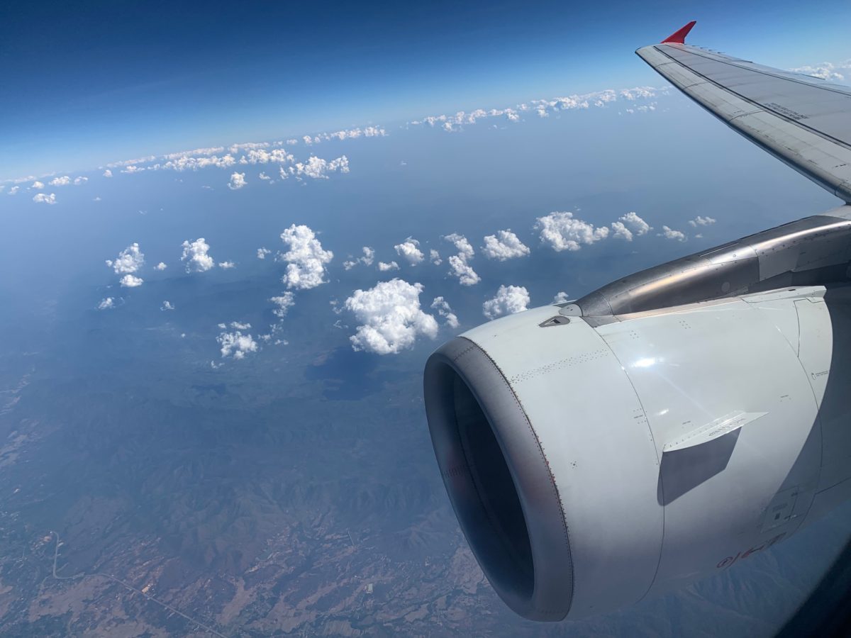
Myanmar from 30,000 feet
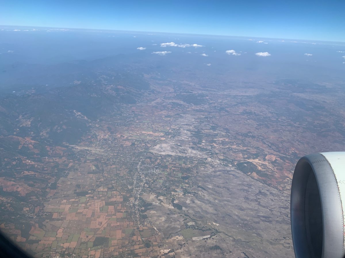
Agricultural development in a valley between mountains
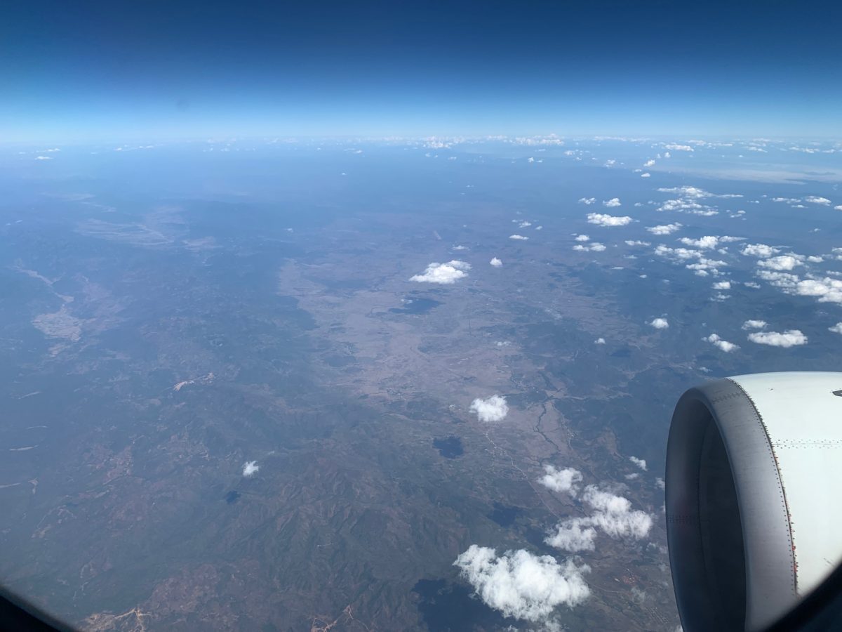
The Central Plains
The mountains of east Myanmar give way to the country’s immense central valley, where on the plains outside of Mandalay vast amounts of forest have been clear cut to make way for agriculture.
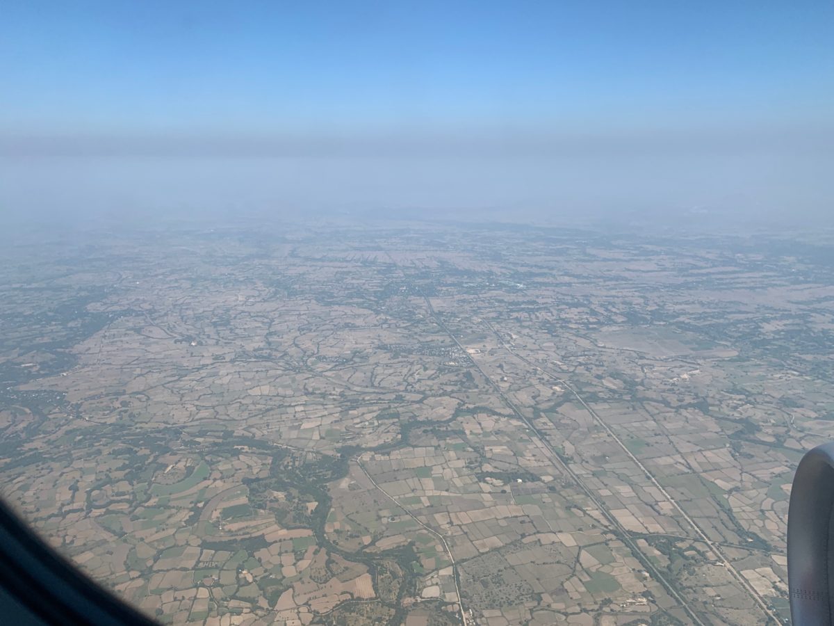
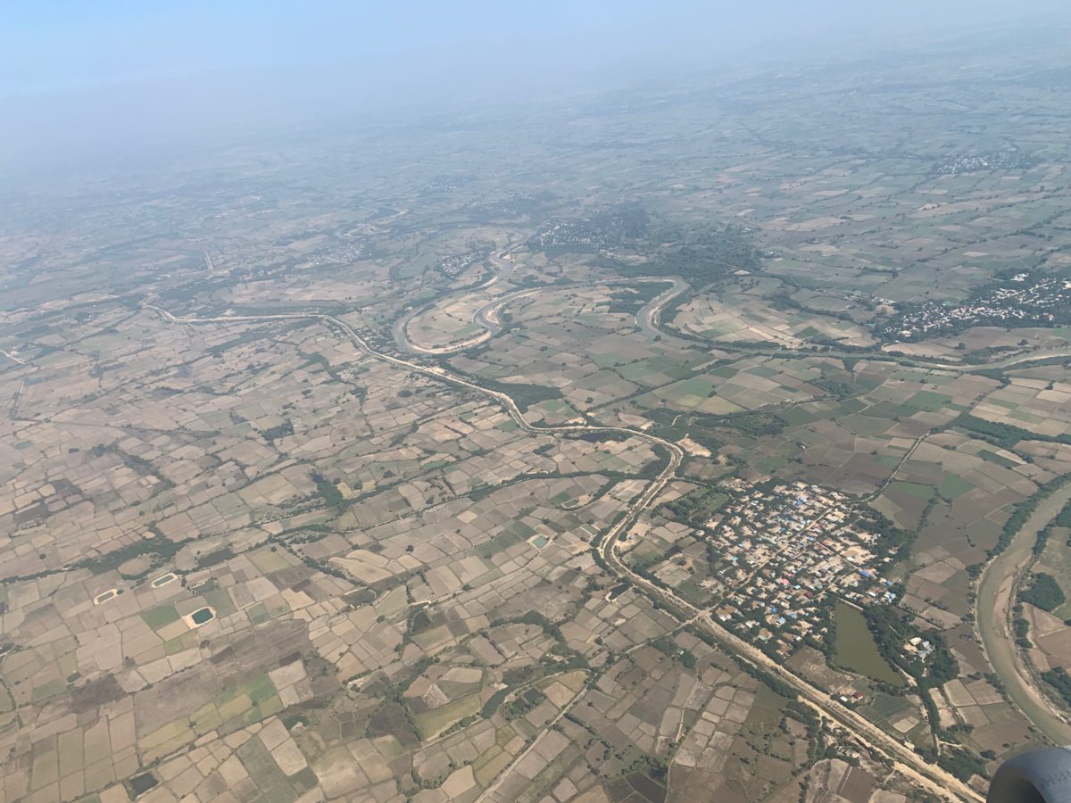
Rivers and viaducts snake through this land
The Final Approach Into Mandalay MDL Airport
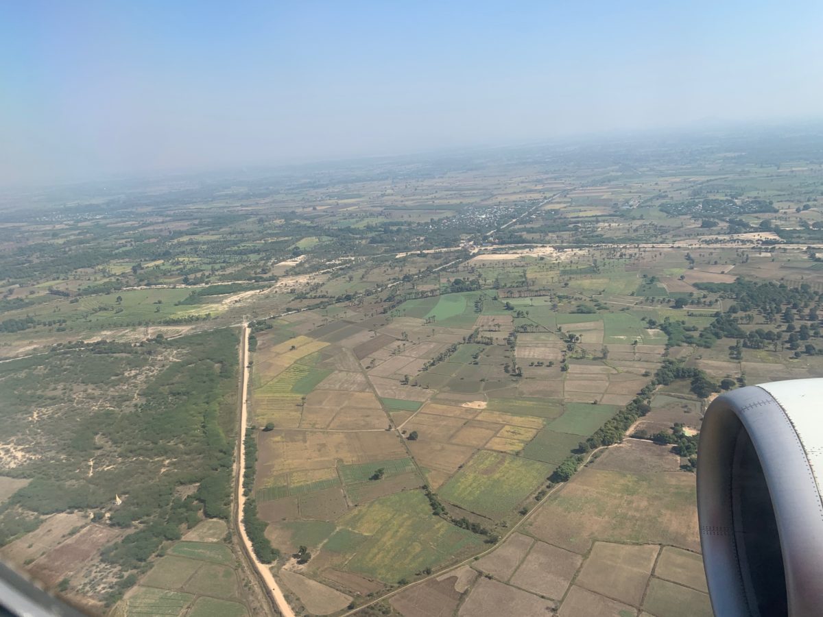
The area south of Mandalay on approach to MDL Airport
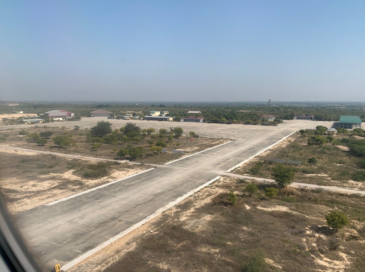
MDL Airport
Next Stop: Mandalay
The flight was a fast and pleasant 1 hour and 45 minutes.
With that, we had landed and were ready to begin our Myanmar adventure by spending the next 24 hours in Mandalay and checking out our hotel for the night, the Hilton Mandalay.
Cheers!